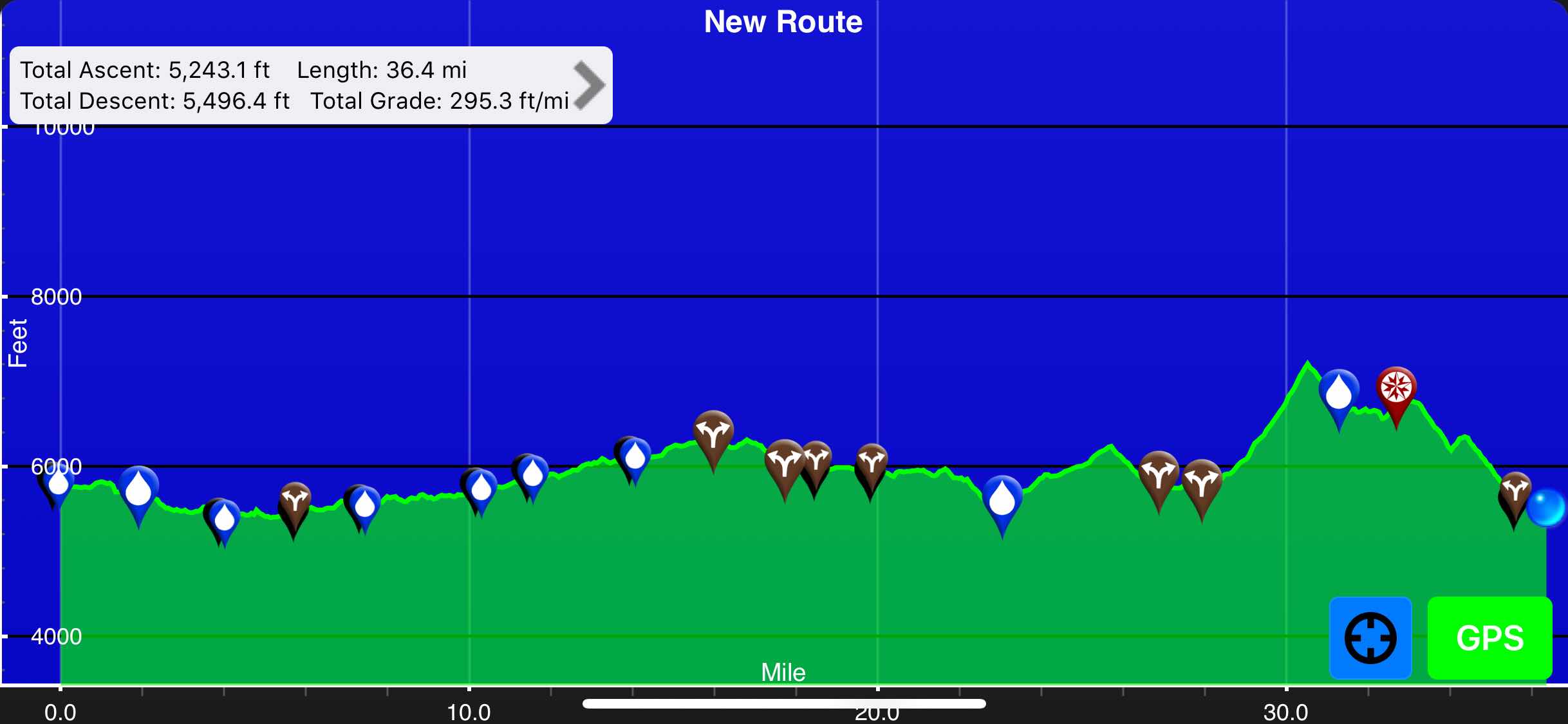
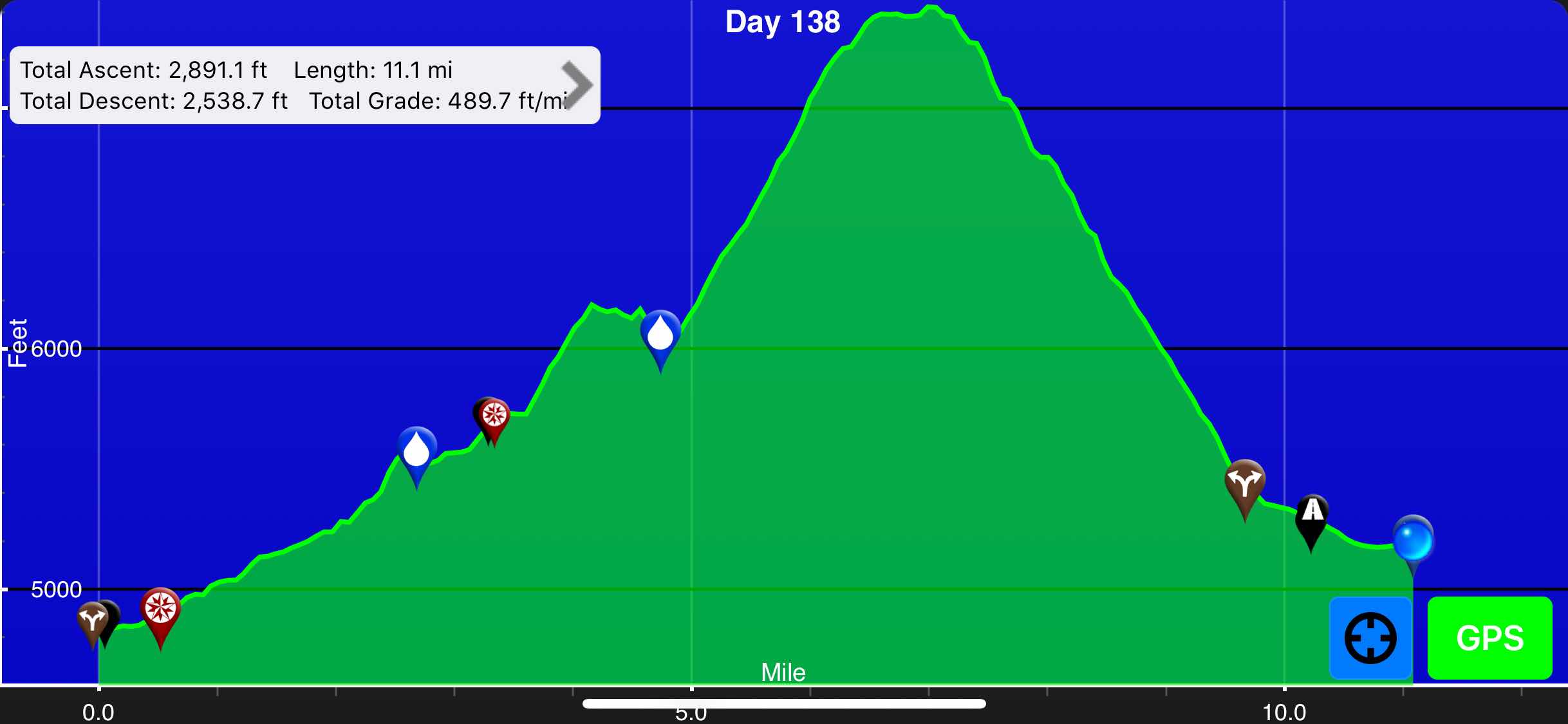
East Glacier(2914.9) to Two Medicine(2926)
11.1 miles
Total Miles: 2612.2
Elevation: 5,200 ft
Since we got into town late last night I knew we would be slow leaving town. There was absolutely no reason for us to rush, we only had to hike eleven miles today. My plans for the morning included an AYCE breakfast buffet, picking up my last resupply package, eating at a bakery, laundry, making travel arrangements, making a few phone calls, and shopping for a few extra snacks. I managed to sleep in a little bit and I felt pretty refreshed. We all walked down to the Glacier Lodge for breakfast. The buffet had quite a few options and it was only $16. I refrained from stuffing myself and only ate three plates of food. I included some fresh fruit for good measure. I enjoyed several cups of good coffee, biscuits and gravy, scrambled eggs, hash browns, country potatoes, French toast, and sausage. Wow! When I see that in writing I’m astounded that I just said I didn’t stuff myself.
Cool Mountain View on the way to eat
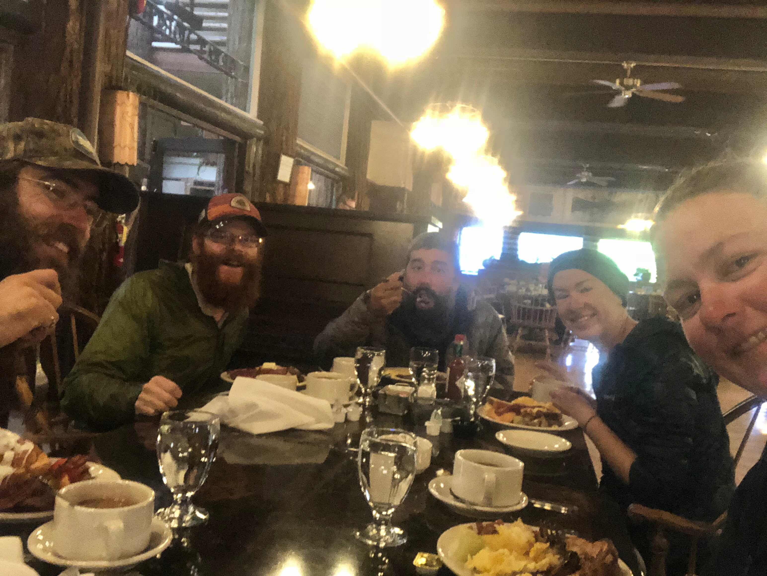
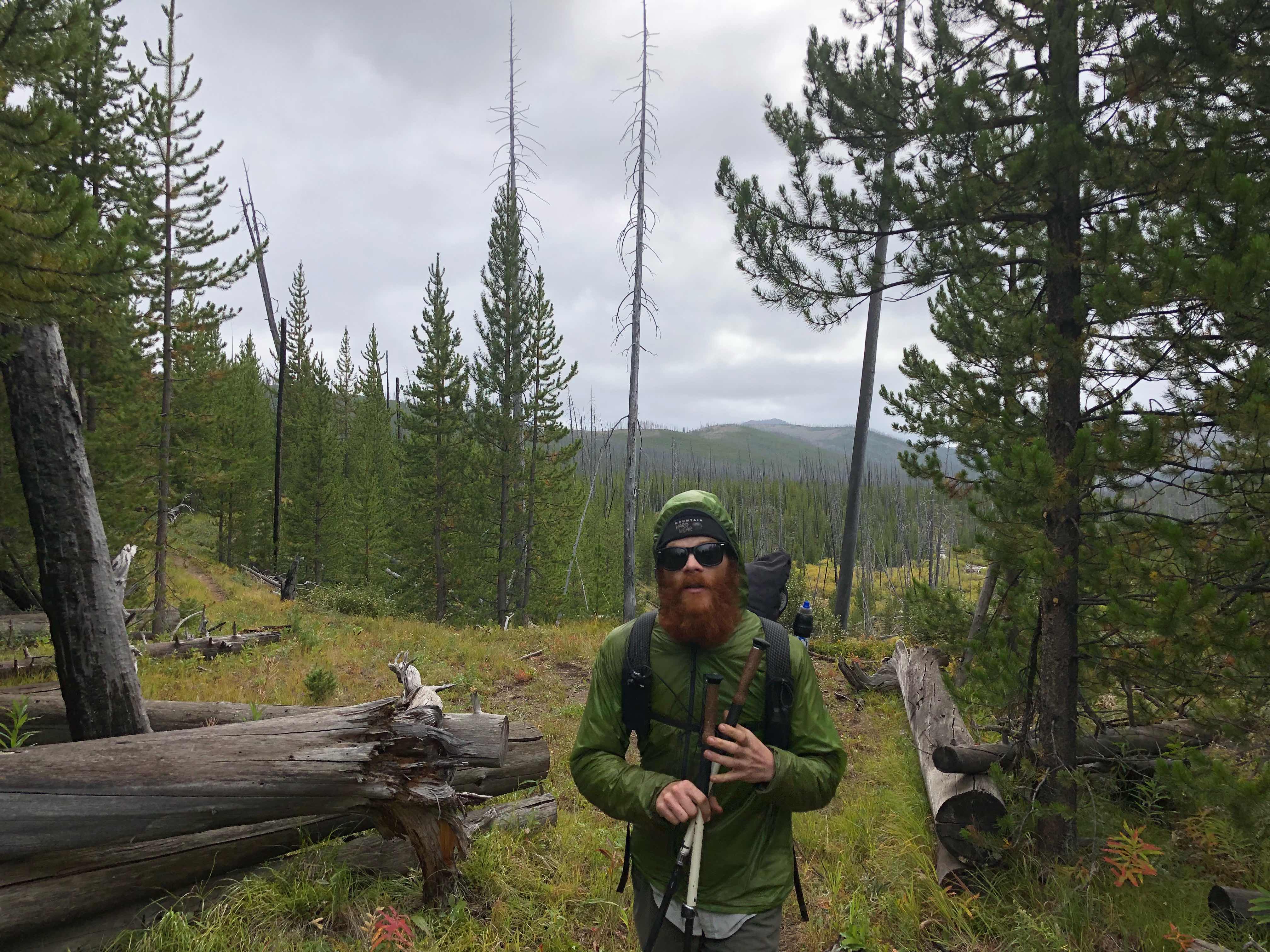
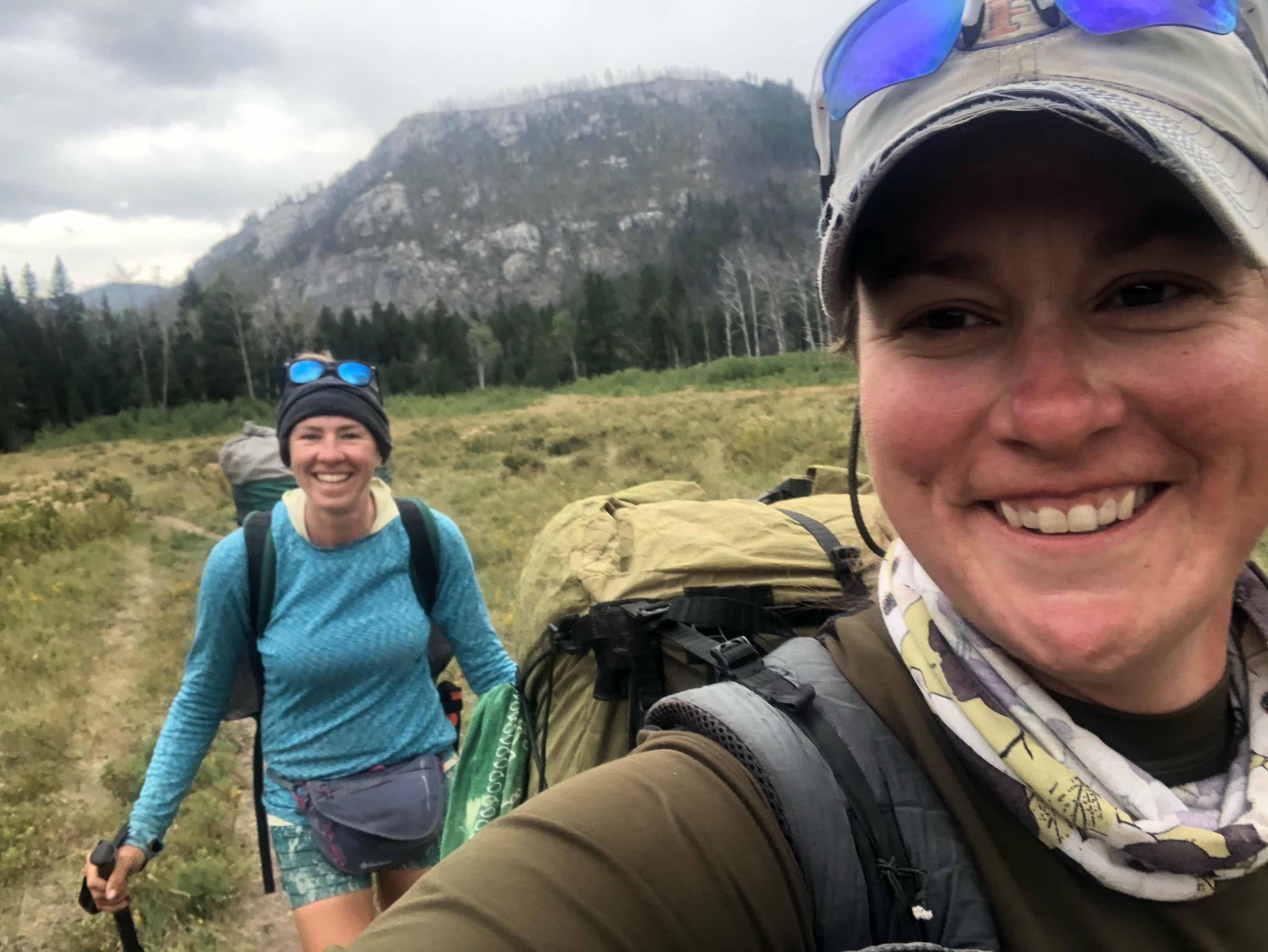
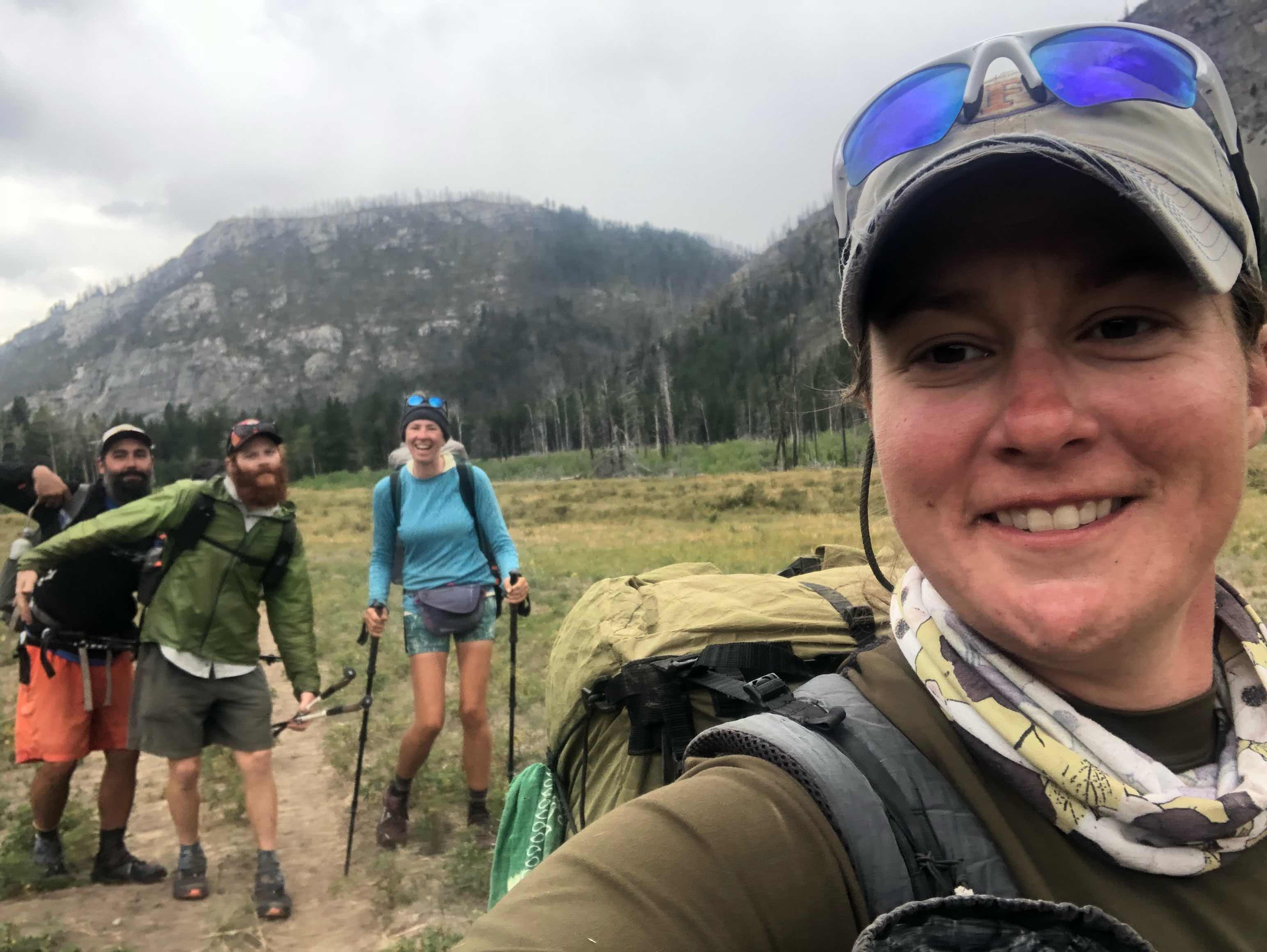
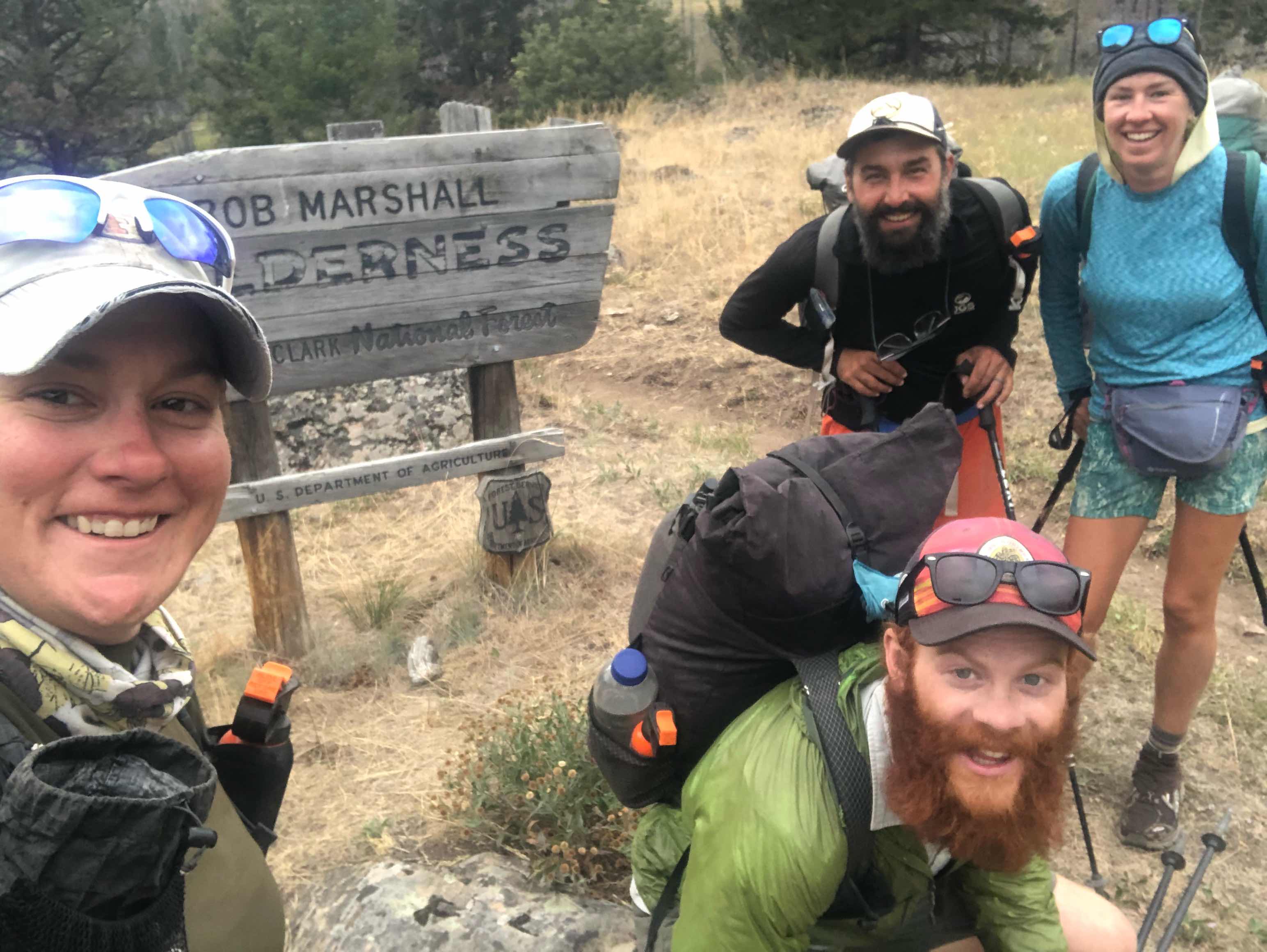
Enigma, Z, Piñata, Sour Straws, and I
After breakfast I went to the general store to pick up my last resupply package. The General and Hannibal put a lot of great things in my last box. I’ll be dining in luxury for this last stretch with all Mountain House dinners. They also included a nice T-shirt and some Crown Royal. I can’t wait until we reach the border.
Once my resupply was taken care of I went back to the motel. I got everything packed up(I have way too much food) and went to go do laundry. Once again I volunteered to babysit the clothes while they were in the wash. I called home and got the ball rolling on my travel arrangements. Looks like I’ll be taking a train from East Glacier to Spokane, Washington and then a flight to Denver. I found reasonable tickets and I’m pleased I’m not spending and arm and a leg to get back to Colorado. We delayed leaving town as long as possible, but once the laundry was done and travel plans were finished we ran out of excuses to stay. Enigma chose to stay the night in town. He found a job working in Glacier and needed to speak with HR. Hopefully he will meet up with us tomorrow.
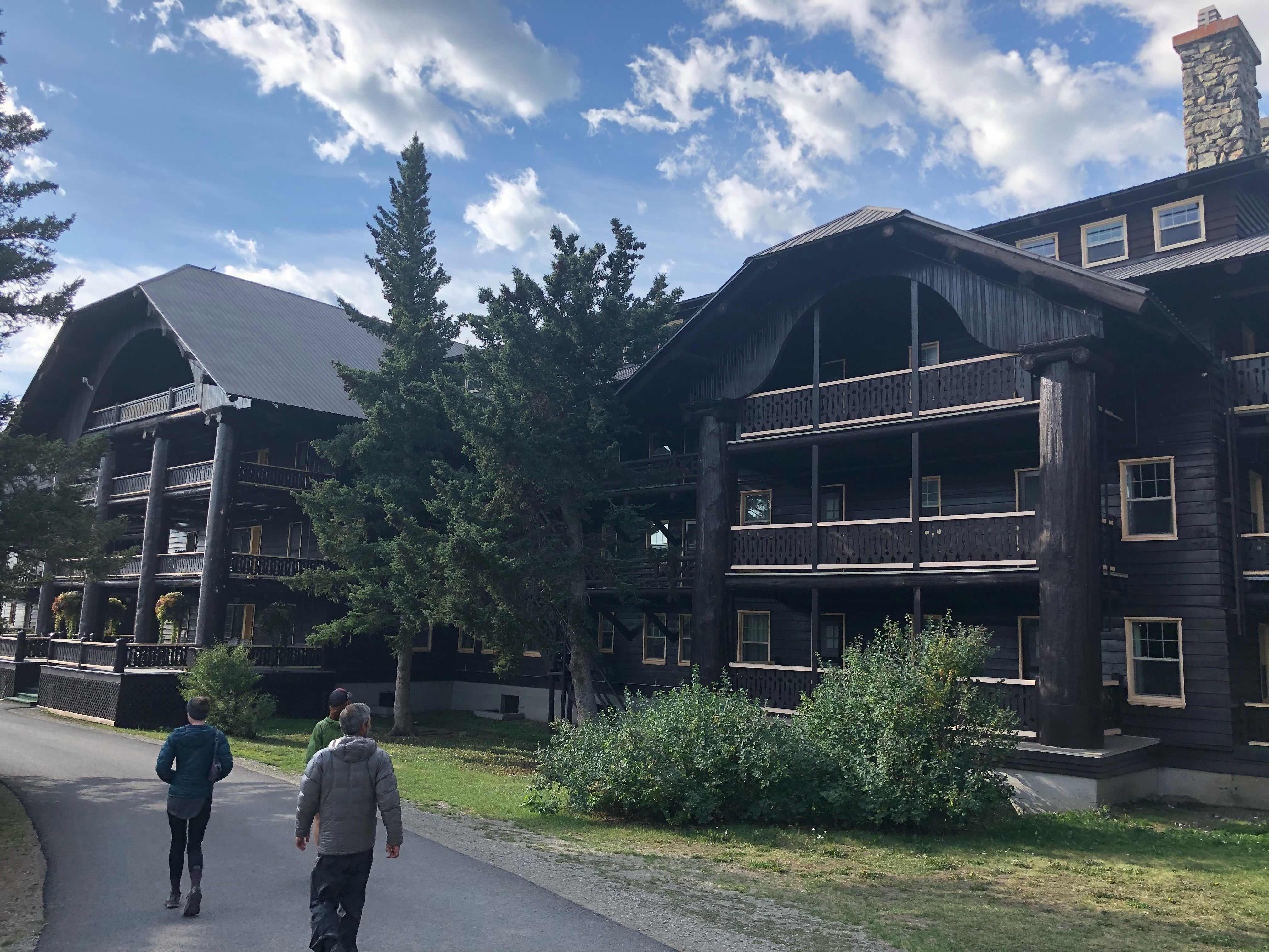
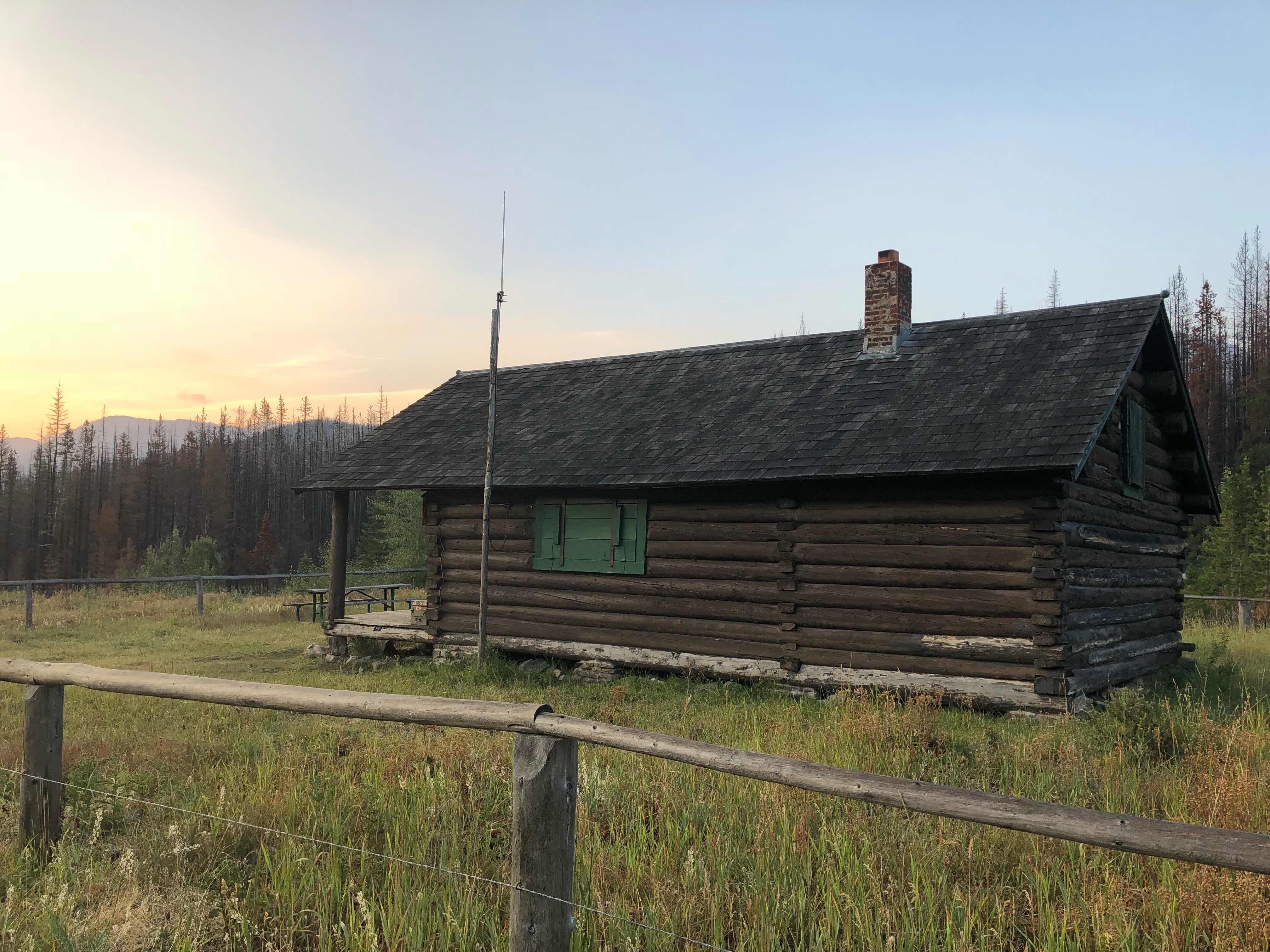
Glacier Lodge
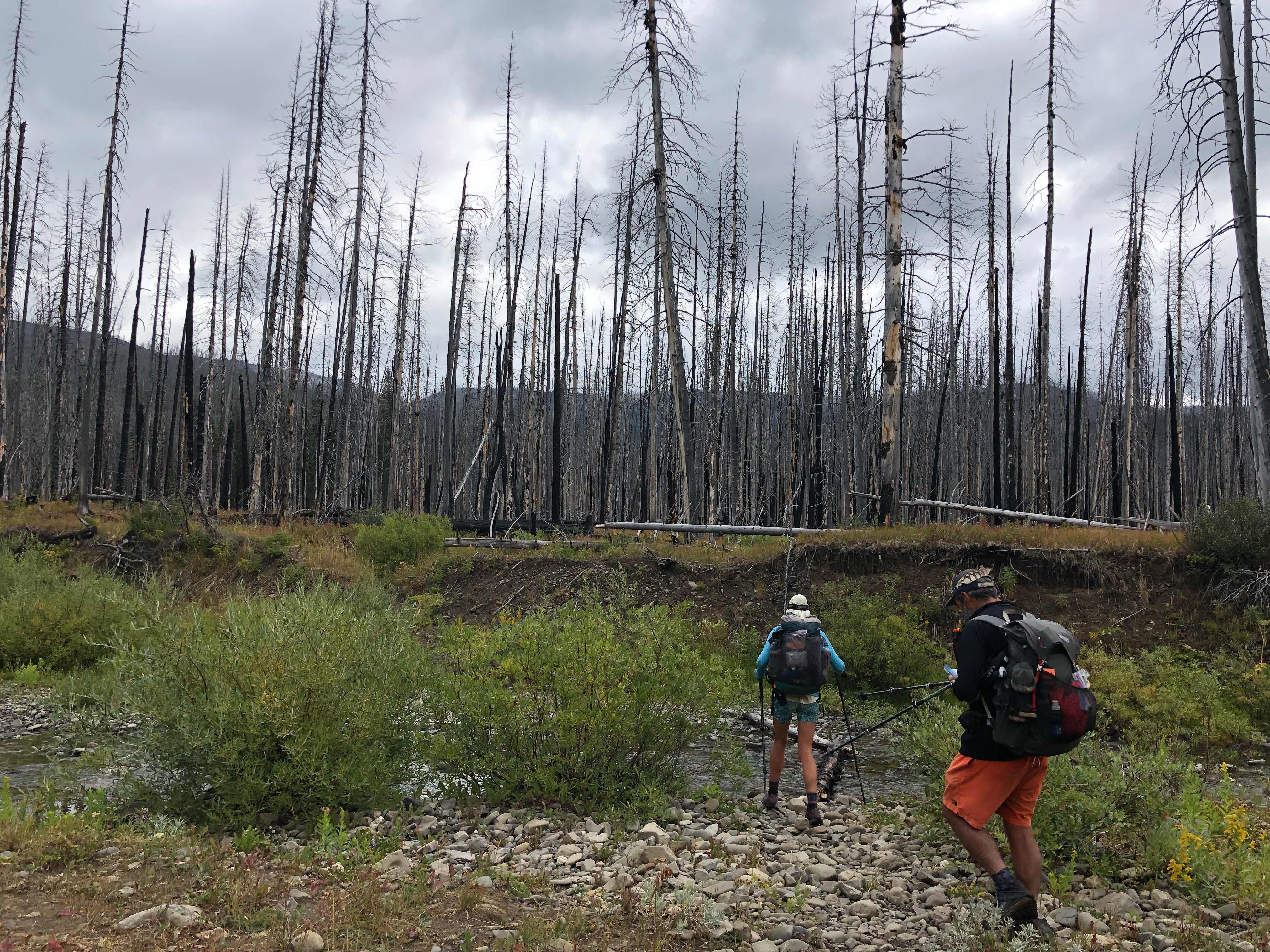
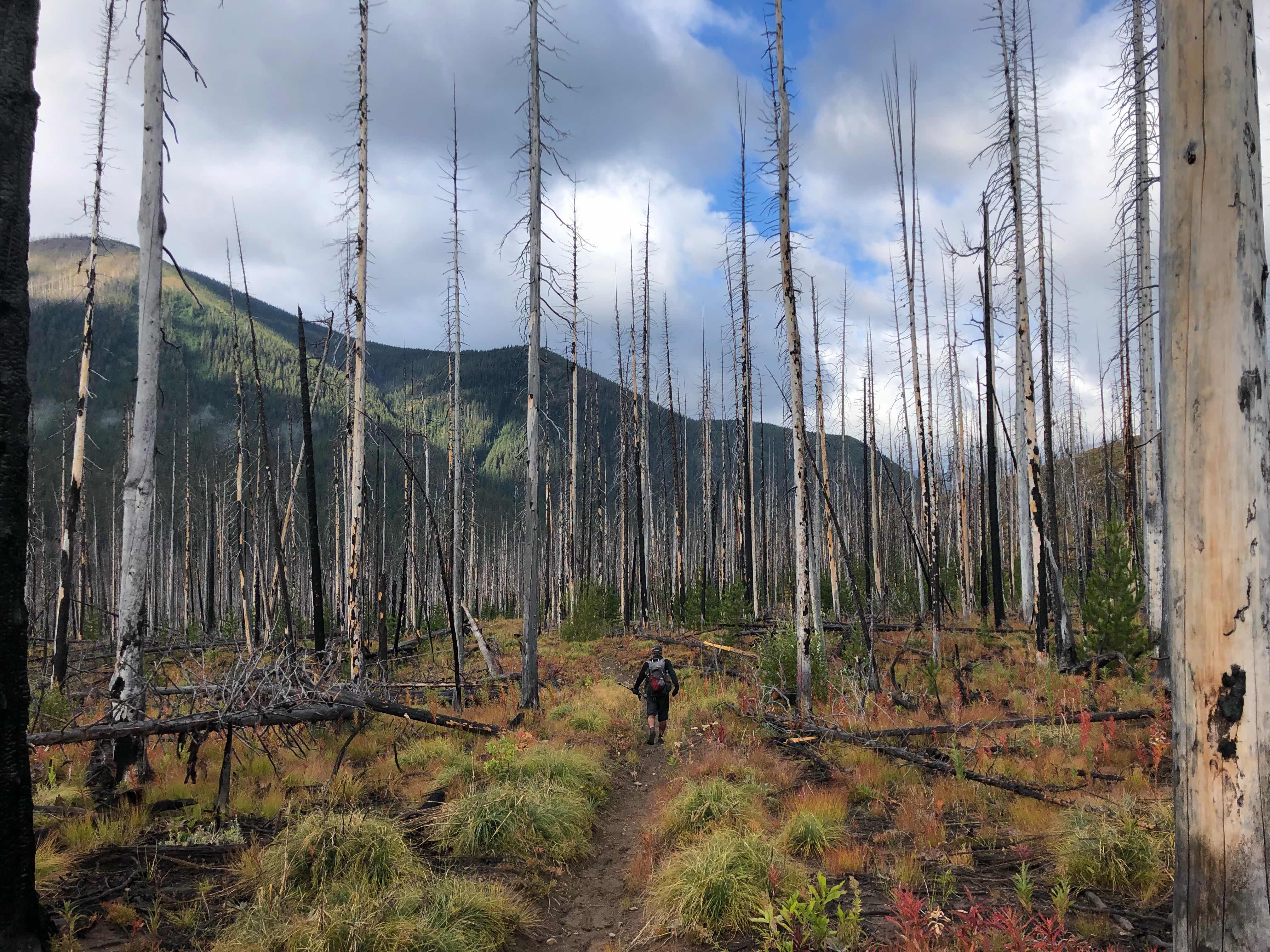
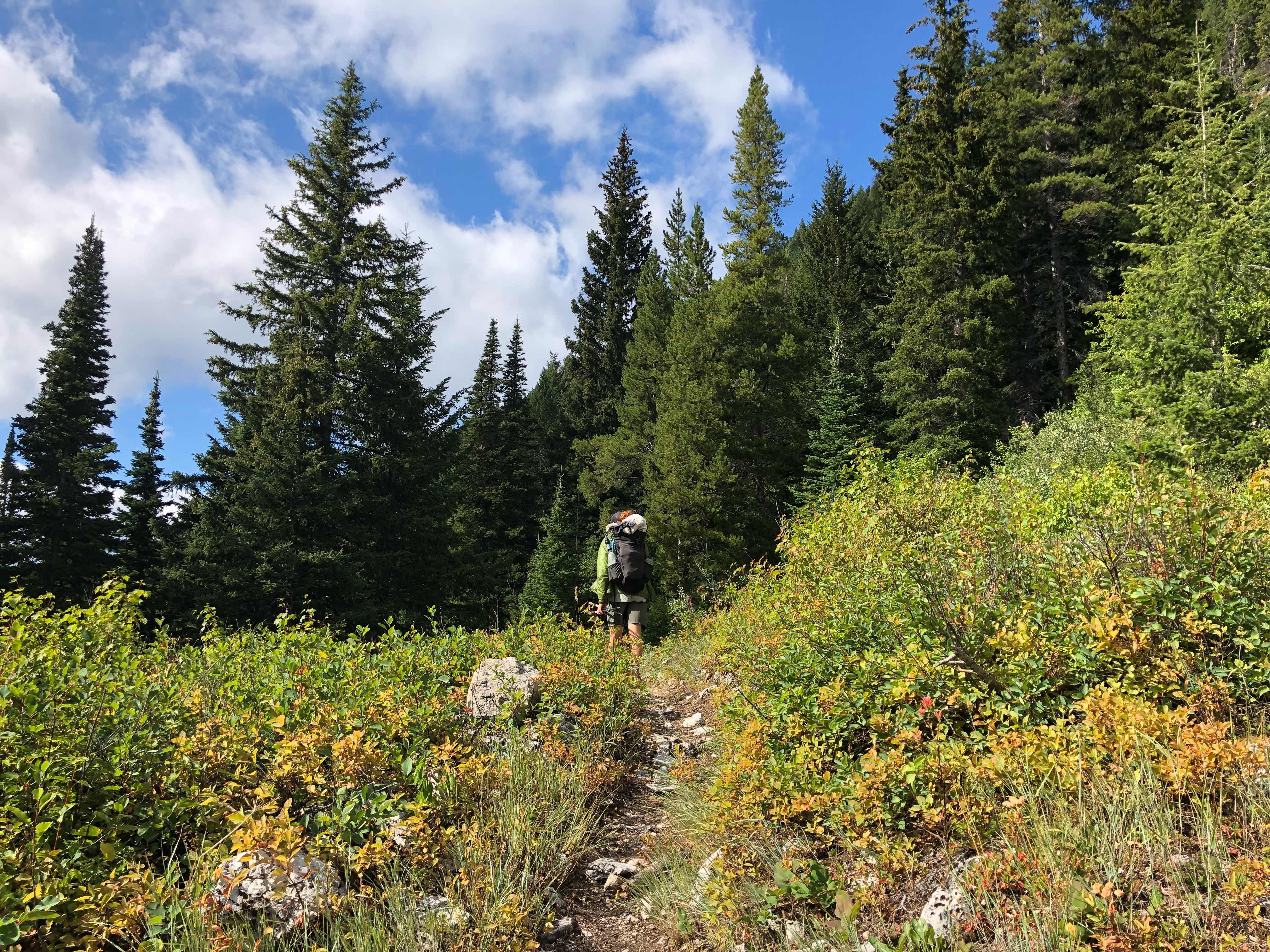
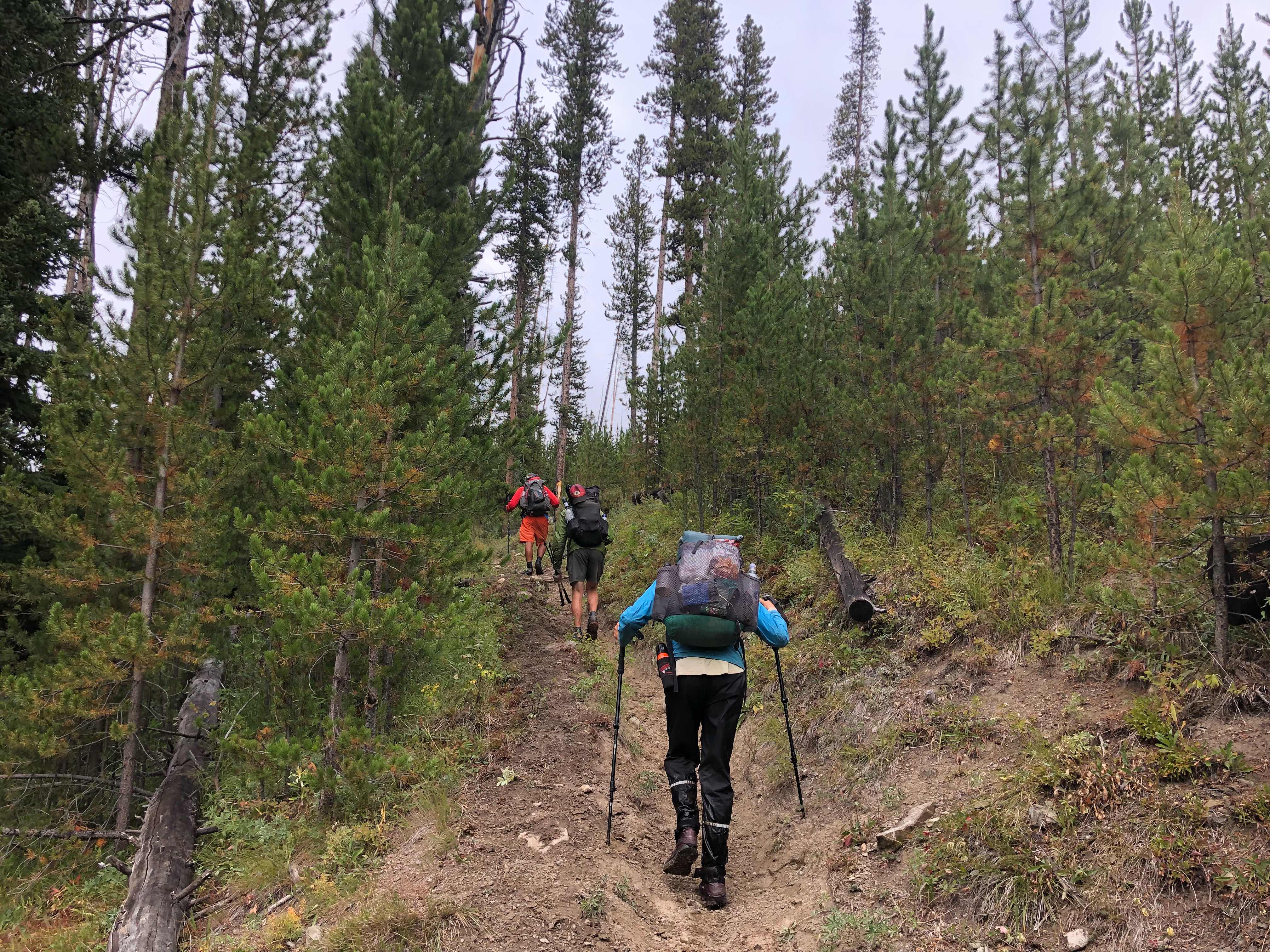
I think we were all excited to finally be hiking into Glacier National Park today. On ther other hand nobody was excited about the giant climb out of town. We will hit a camp store almost everyday on this last stretch. We had all planned on carrying minimal food through Glacier because of the on-trail dining opportunities. Well, we all failed miserably at that. I’m pretty stoked to be finishing this trail in Glacier. Four years ago I had minimal backpacking experience. I had taken a few short trips on the AT, but those weren’t the greatest trips. Backpacking can have a steep learning curve. I thought I was doing pretty well in those days if my pack weight was below 60lbs. I’m still amazed that I stuck with backpacking after my first few trips didn’t go as planned. I was looking for something epic to do for my birthday and stumbled across some pictures of Glacier NP. I immediately got online and booked a ticket to Montana. I even convinced a good friend, JC, to come with me. It was the trip of a lifetime and completely changed my prospective and priorities. That backpacking trip was the main cause for my move to the west years later and a major influencing factor on why I decided to thruhike the AT. To be back here years later finishing my third thruhike in four years feels surreal. 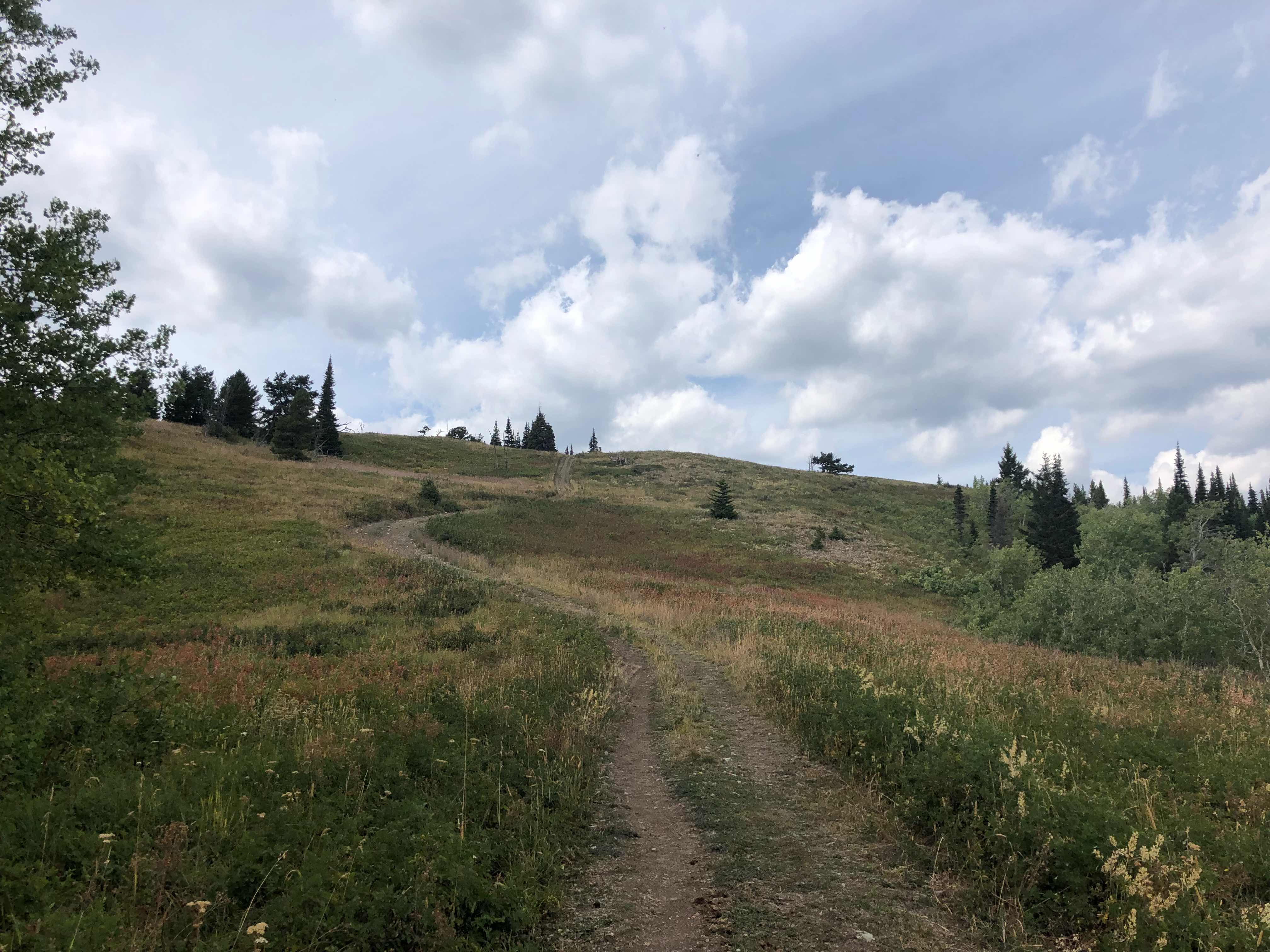
Start to the day
Start to the day
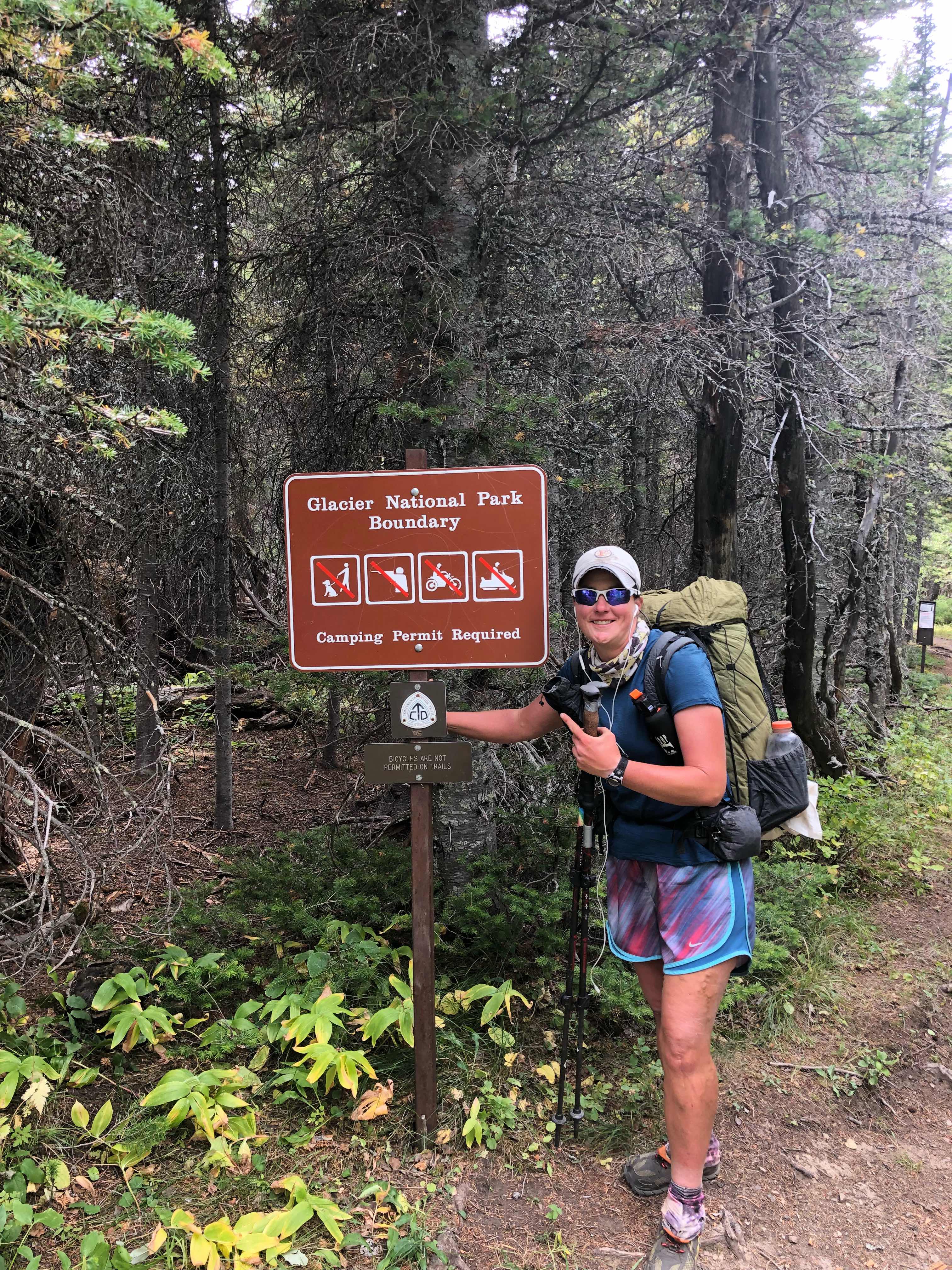
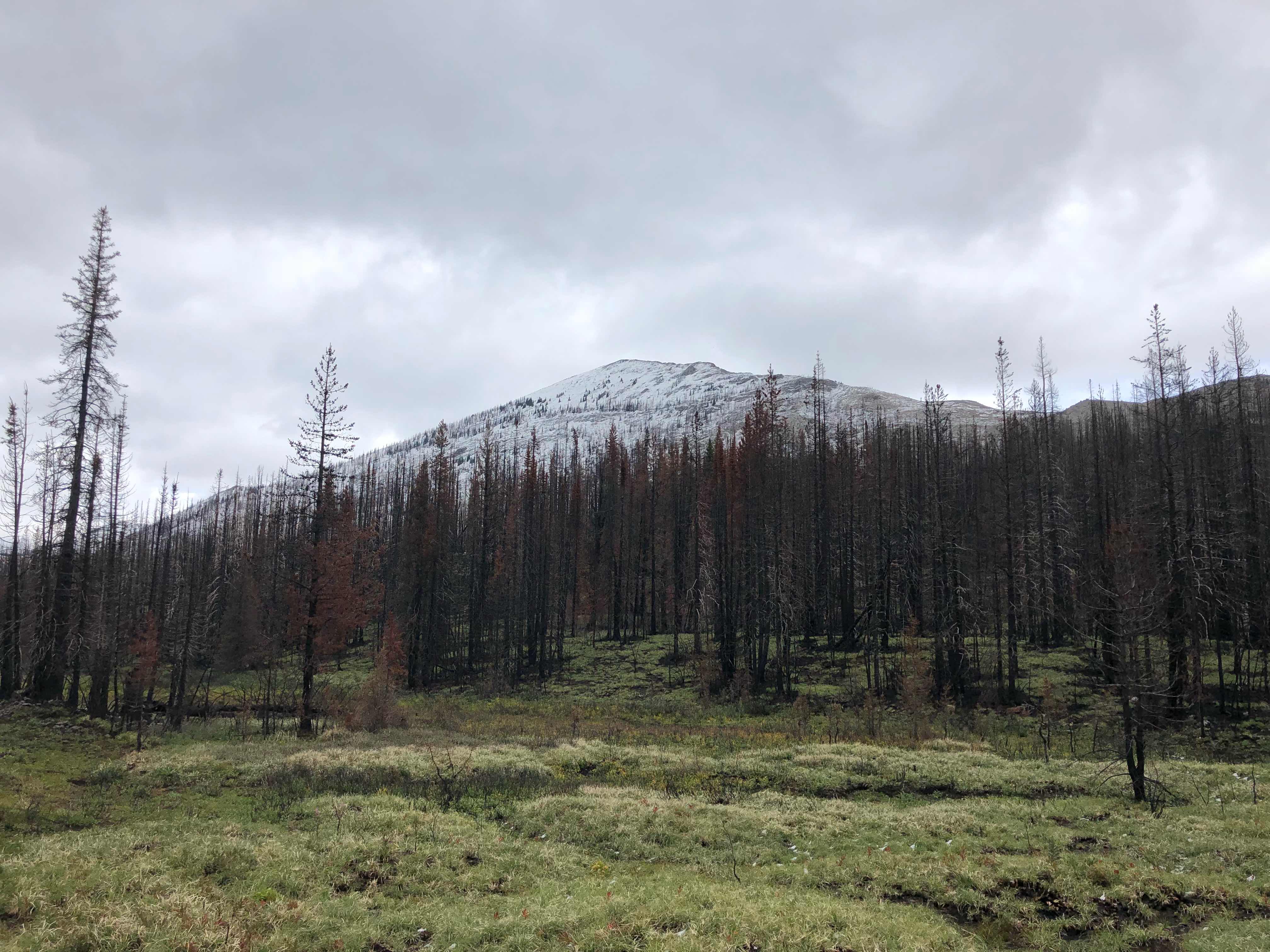
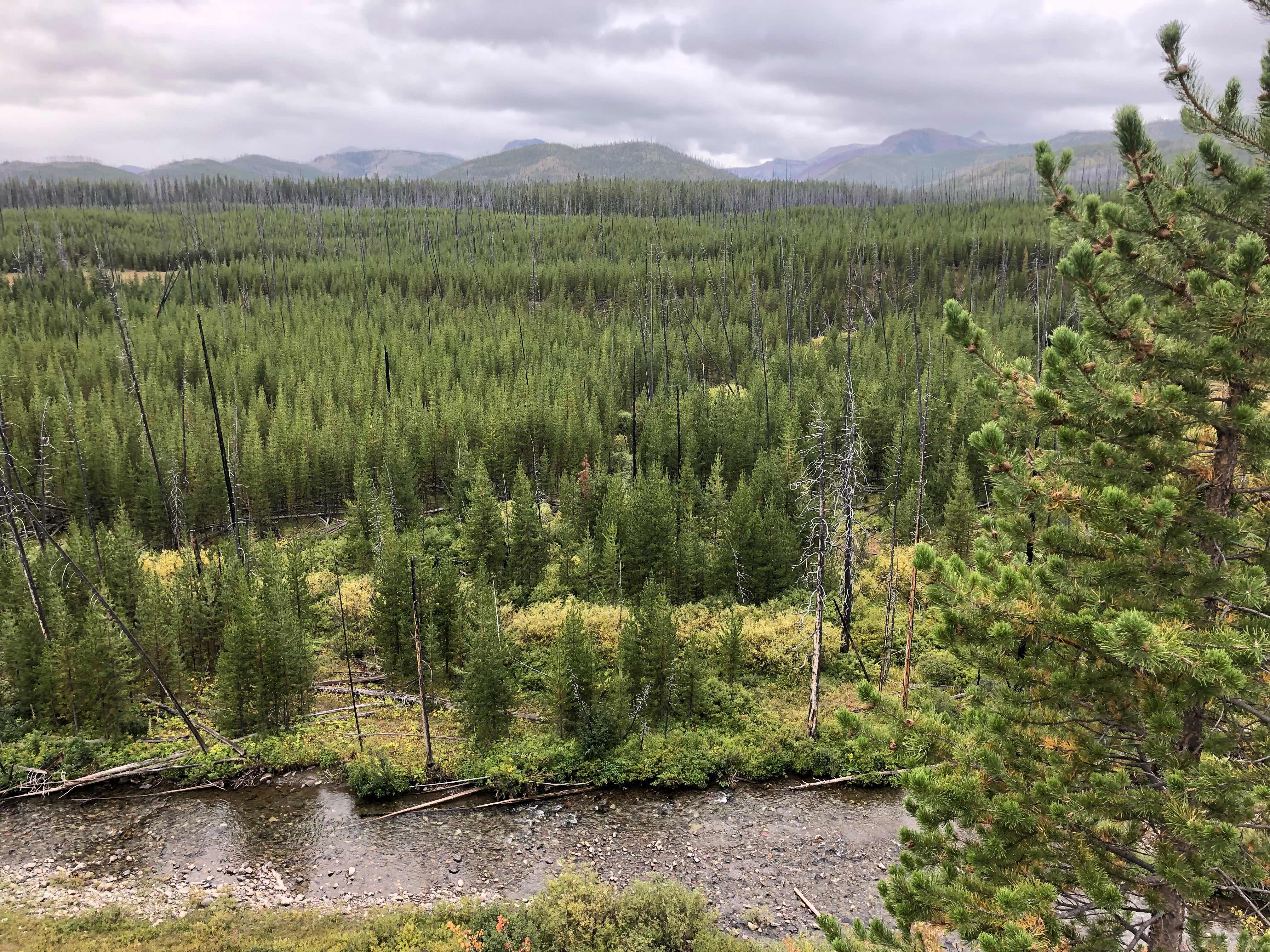
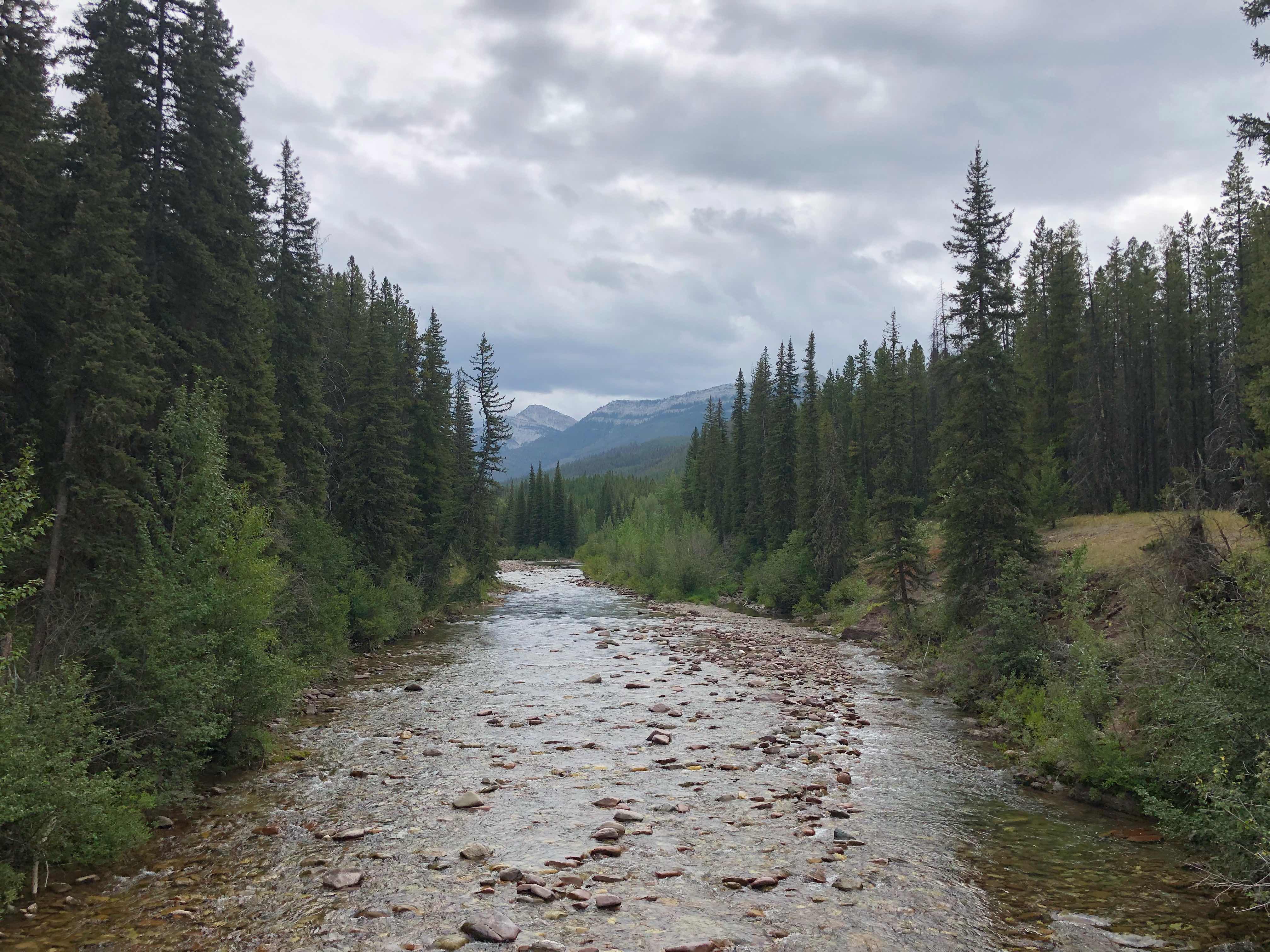
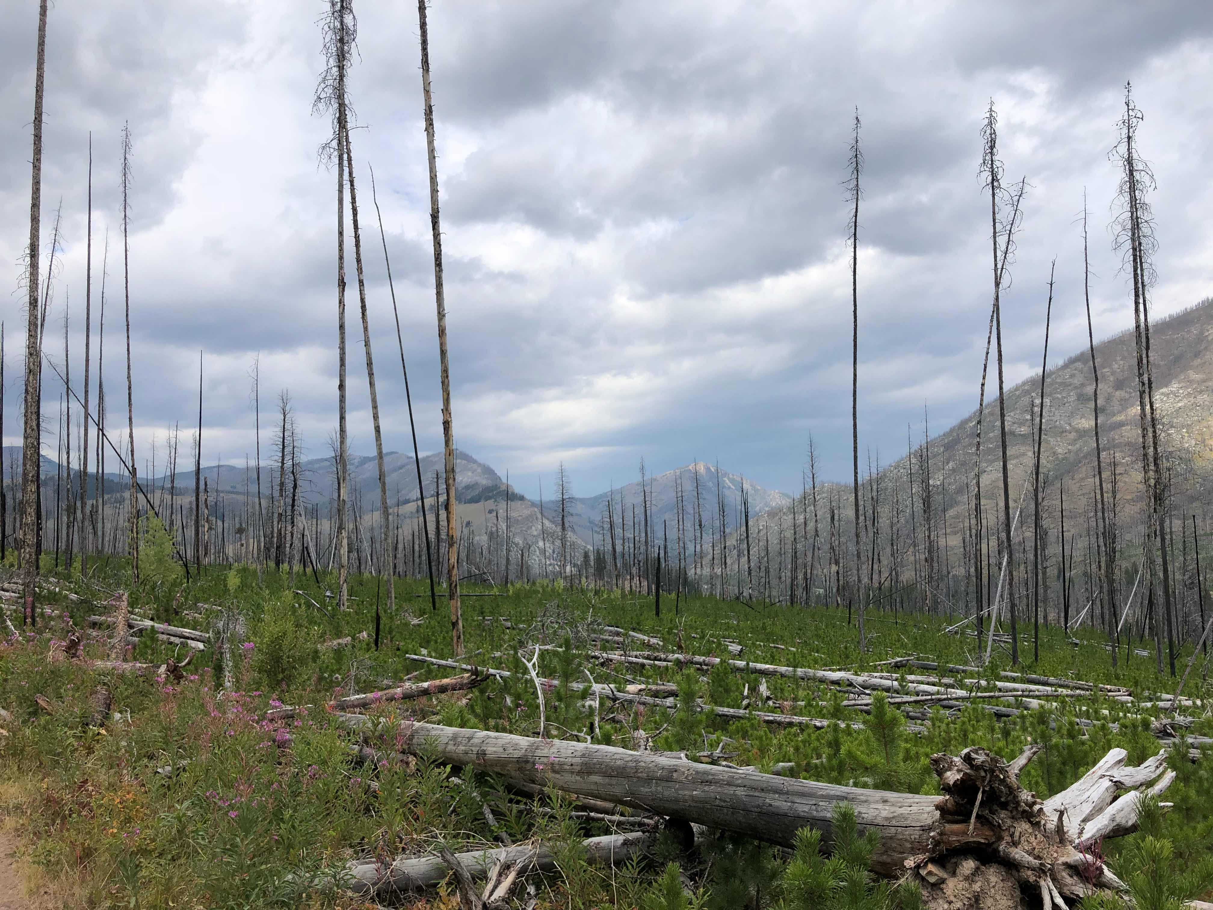
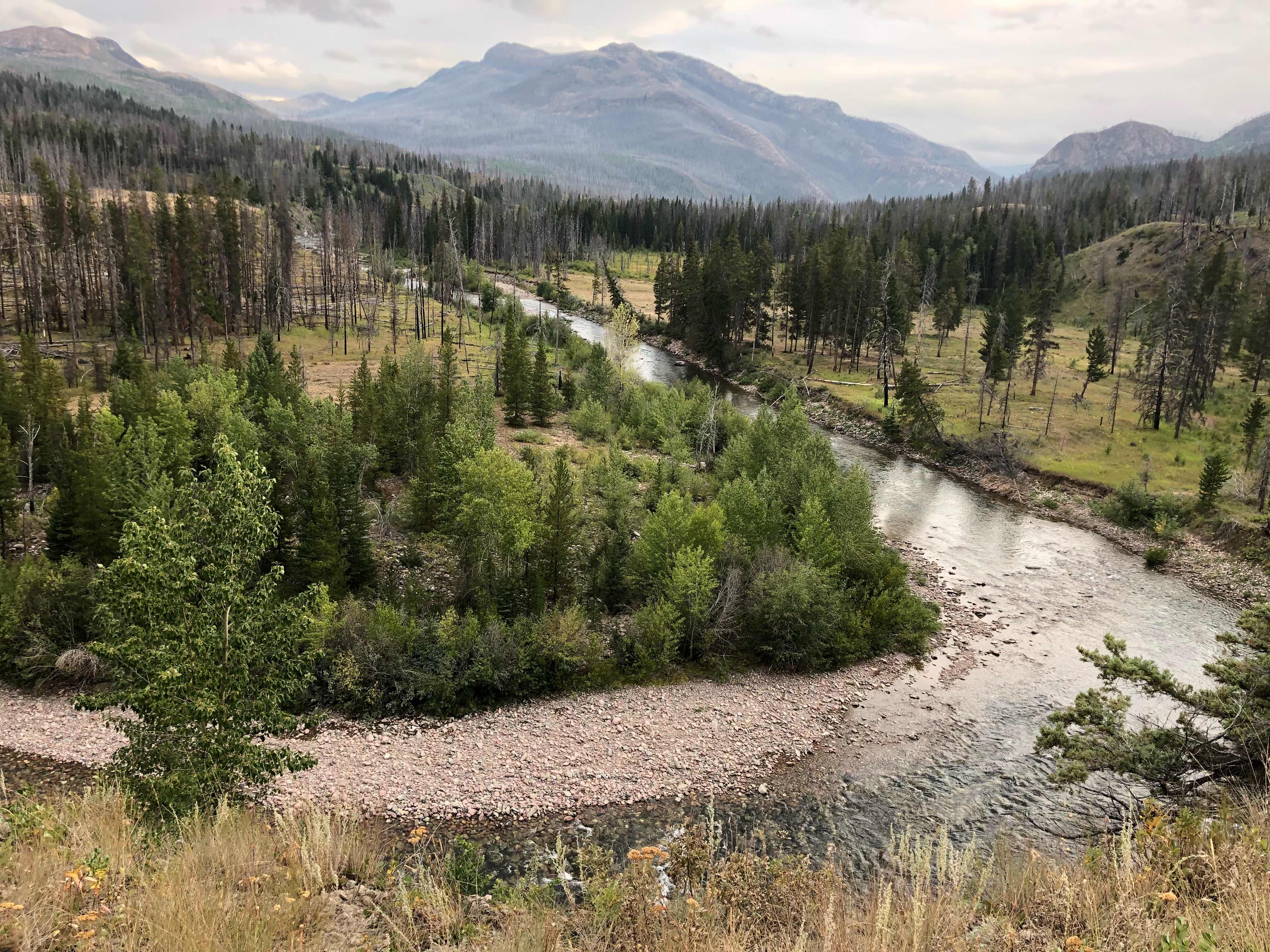
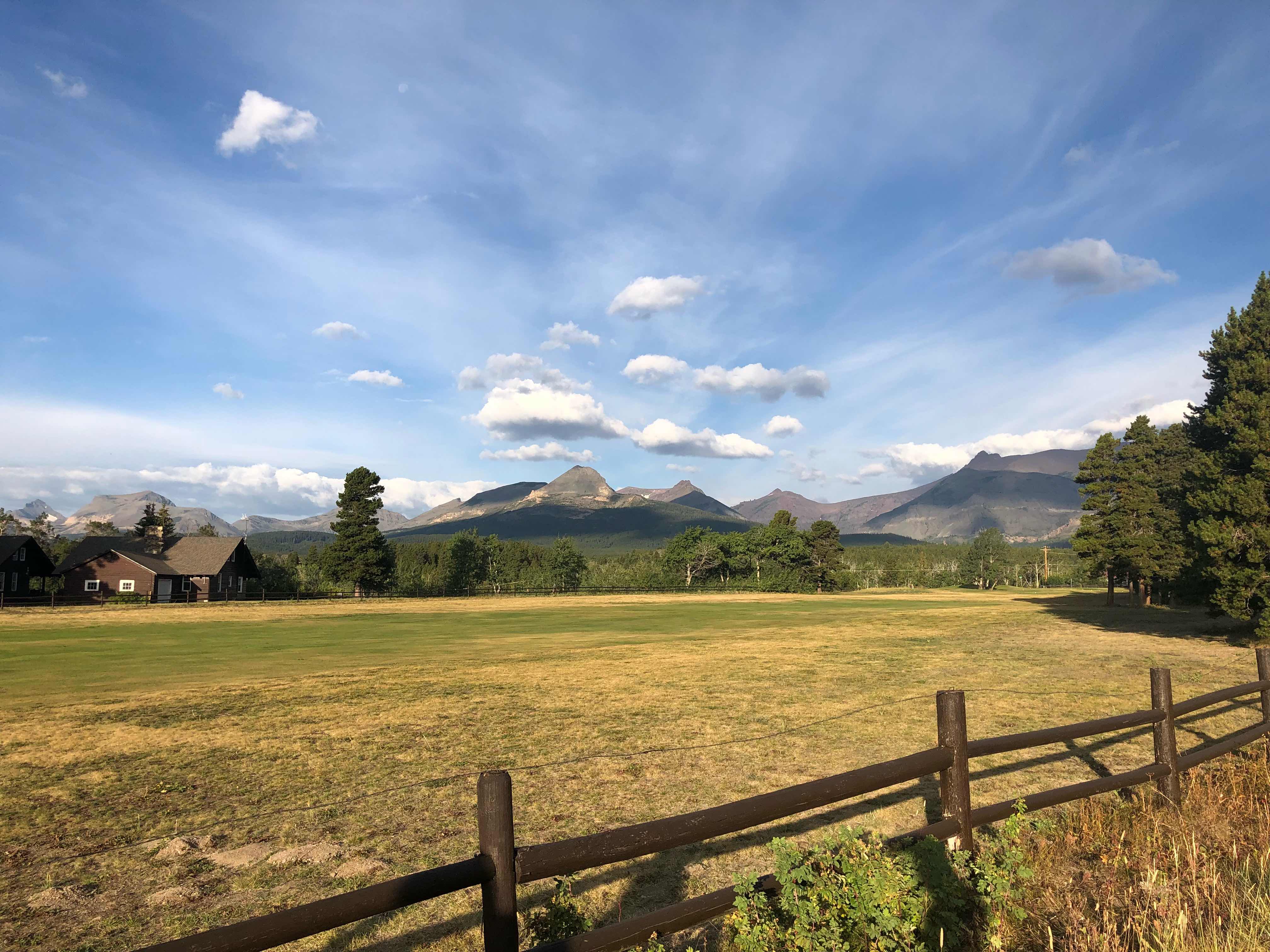
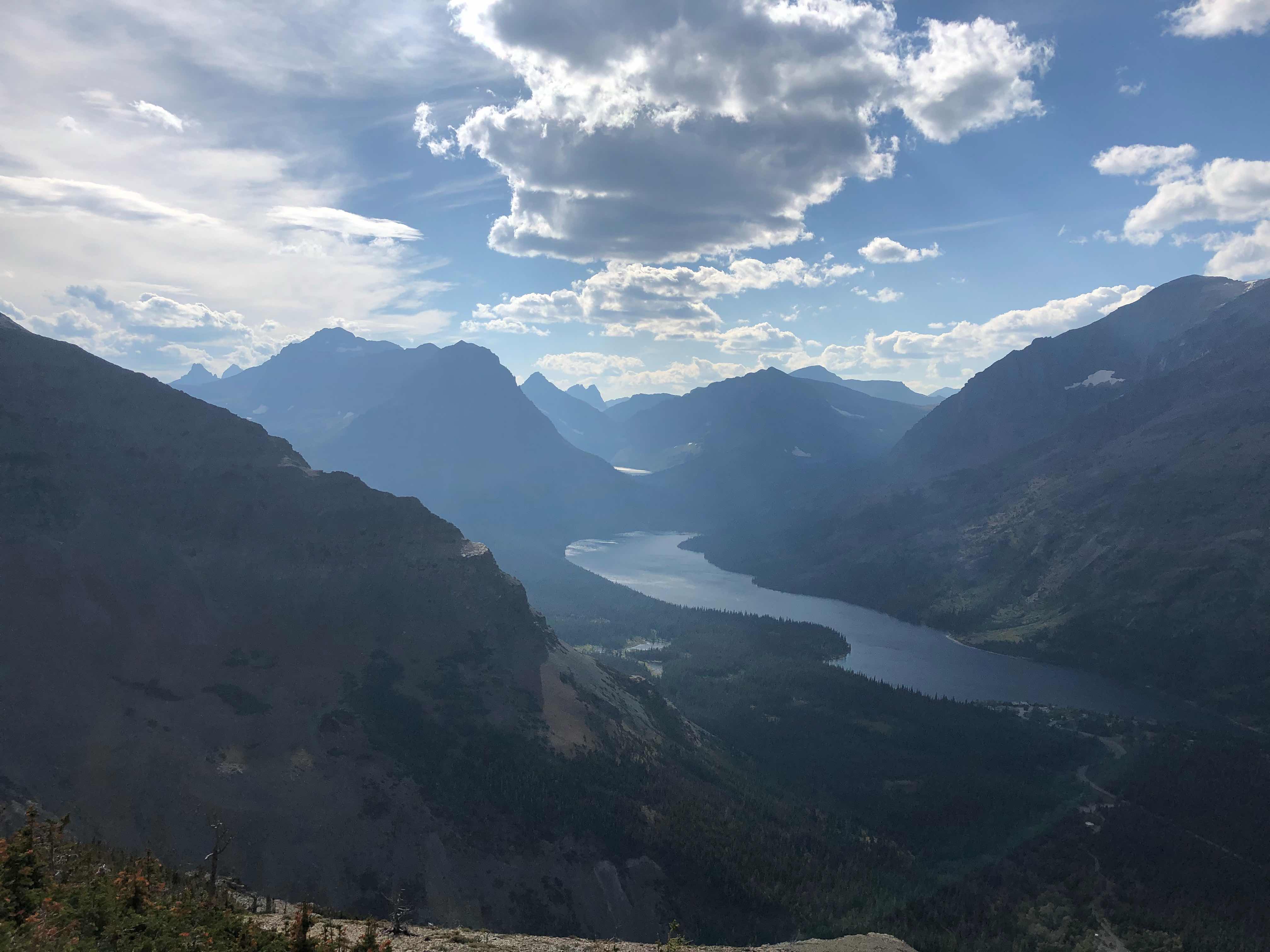
Glacier National Park
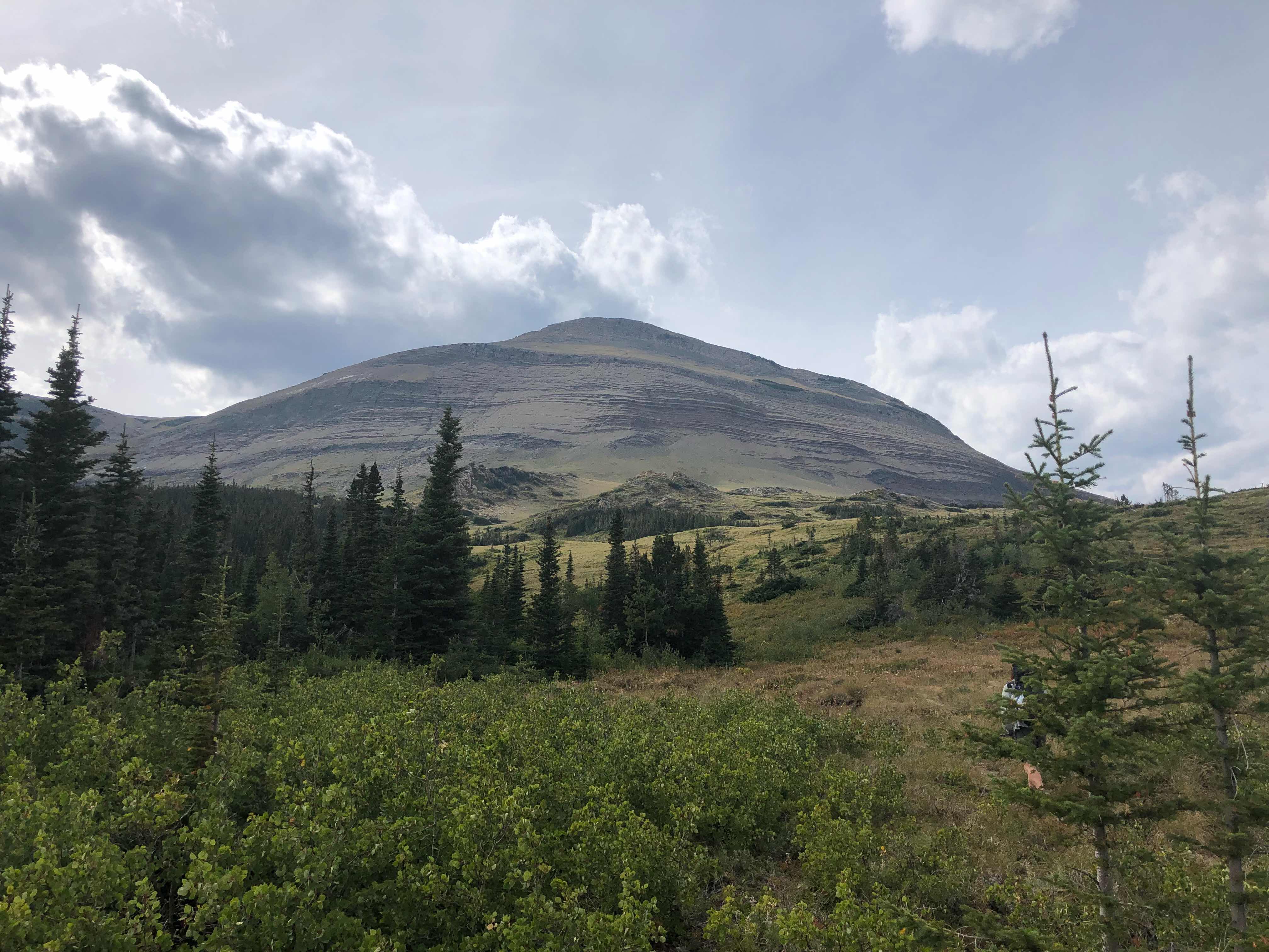
Changing scenery
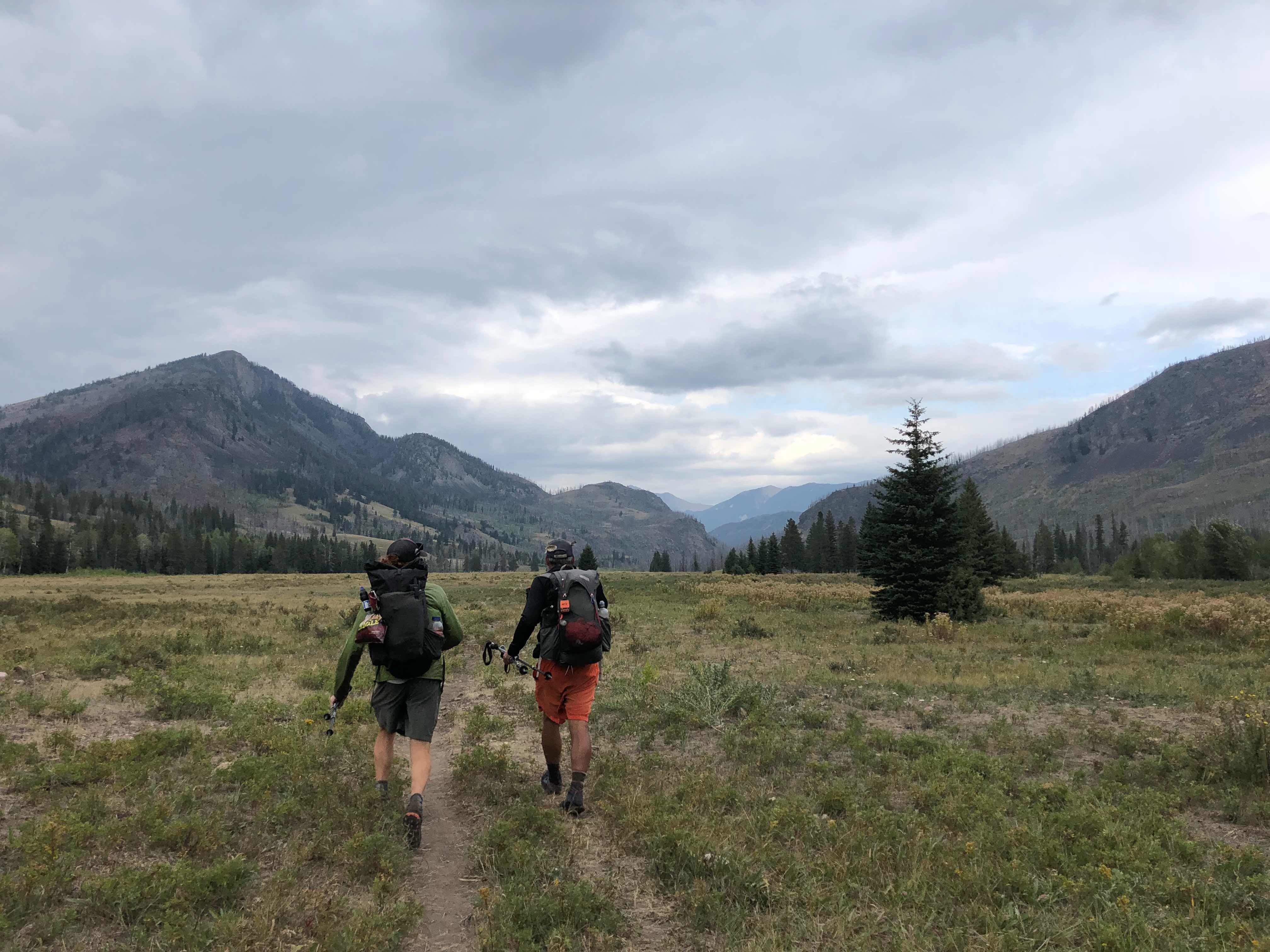
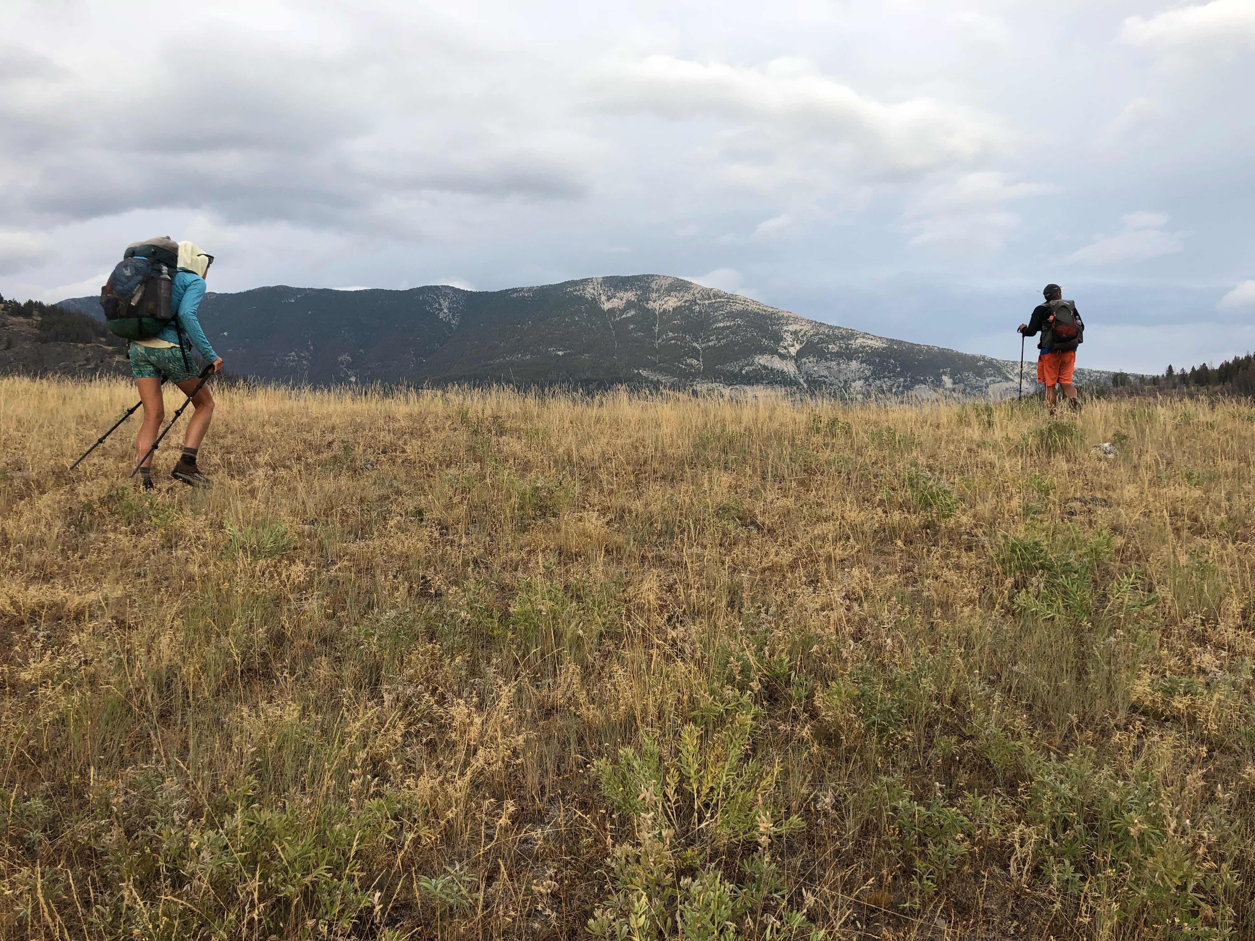
Finally back in the mountains
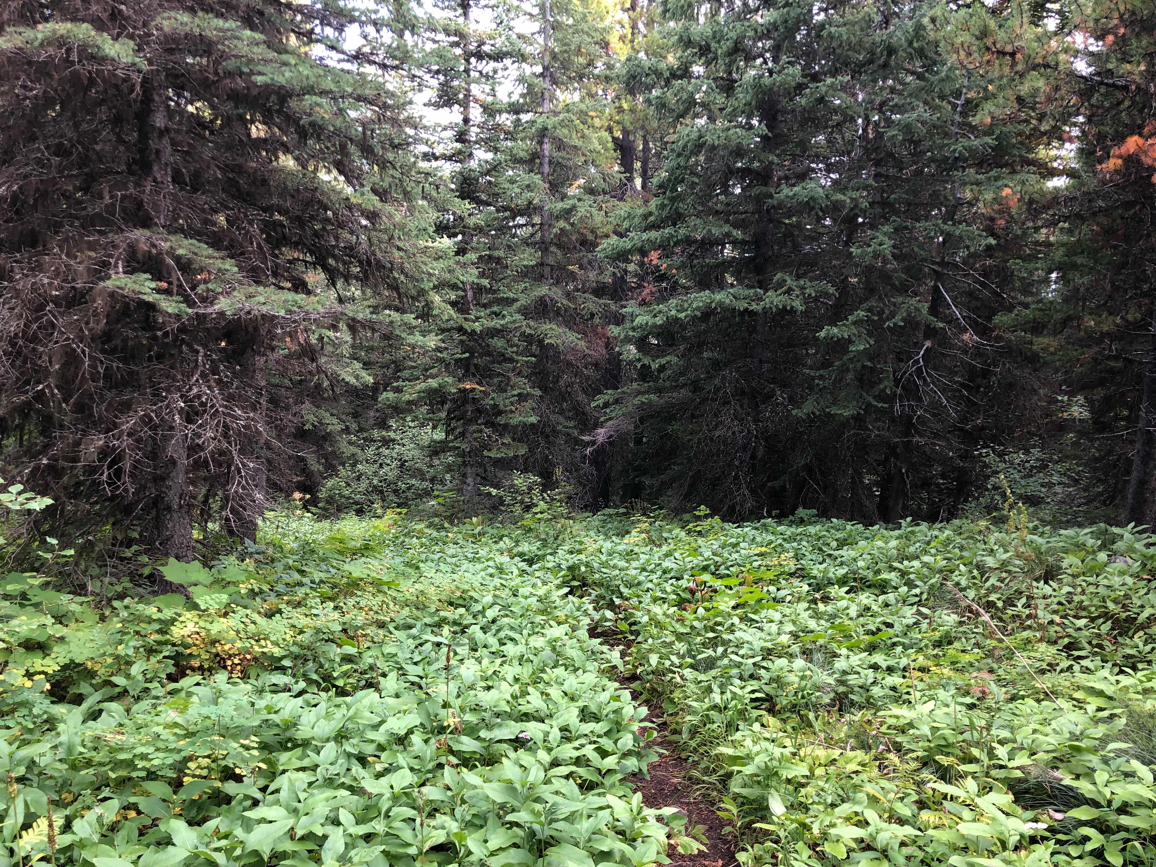
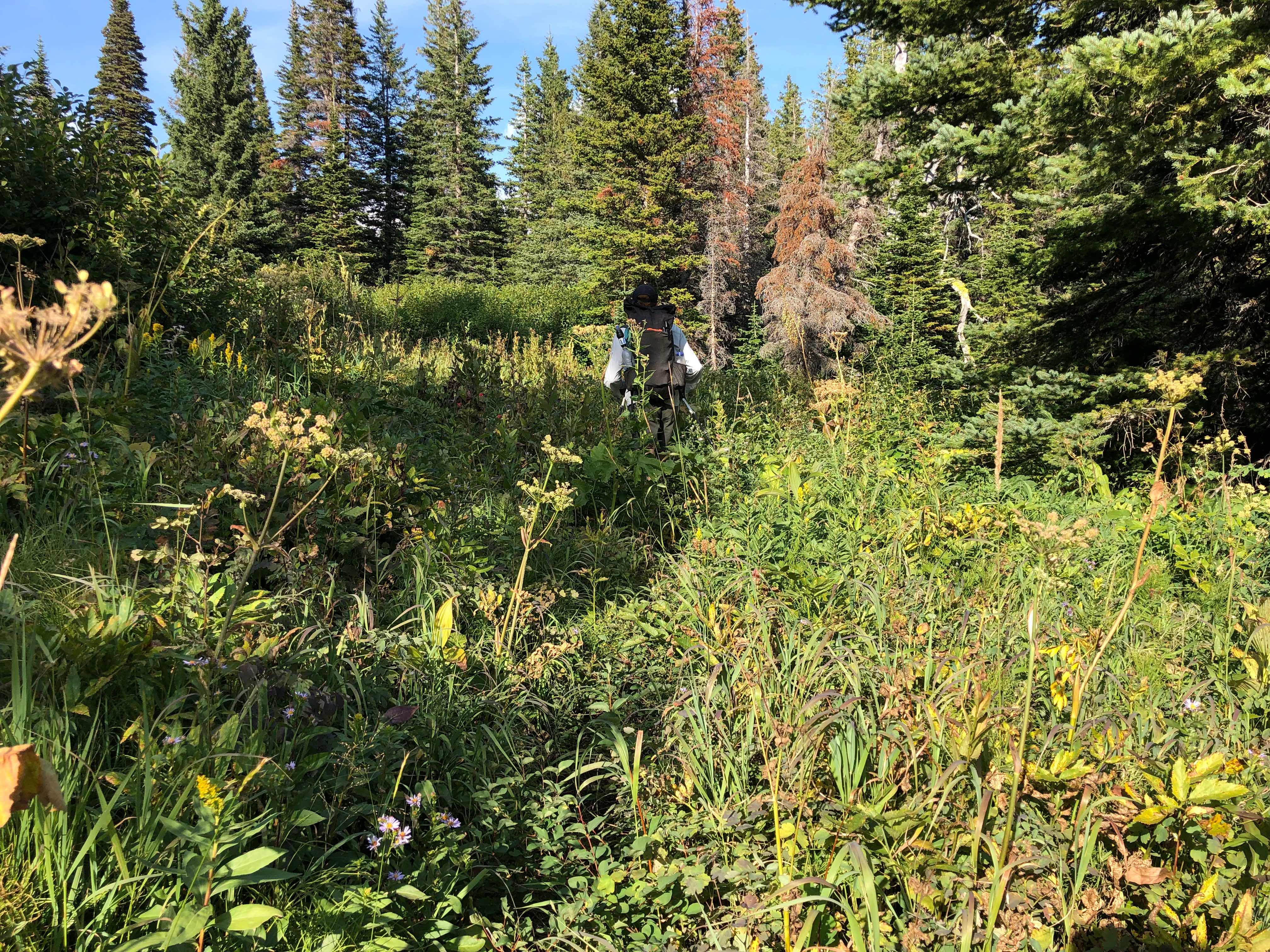
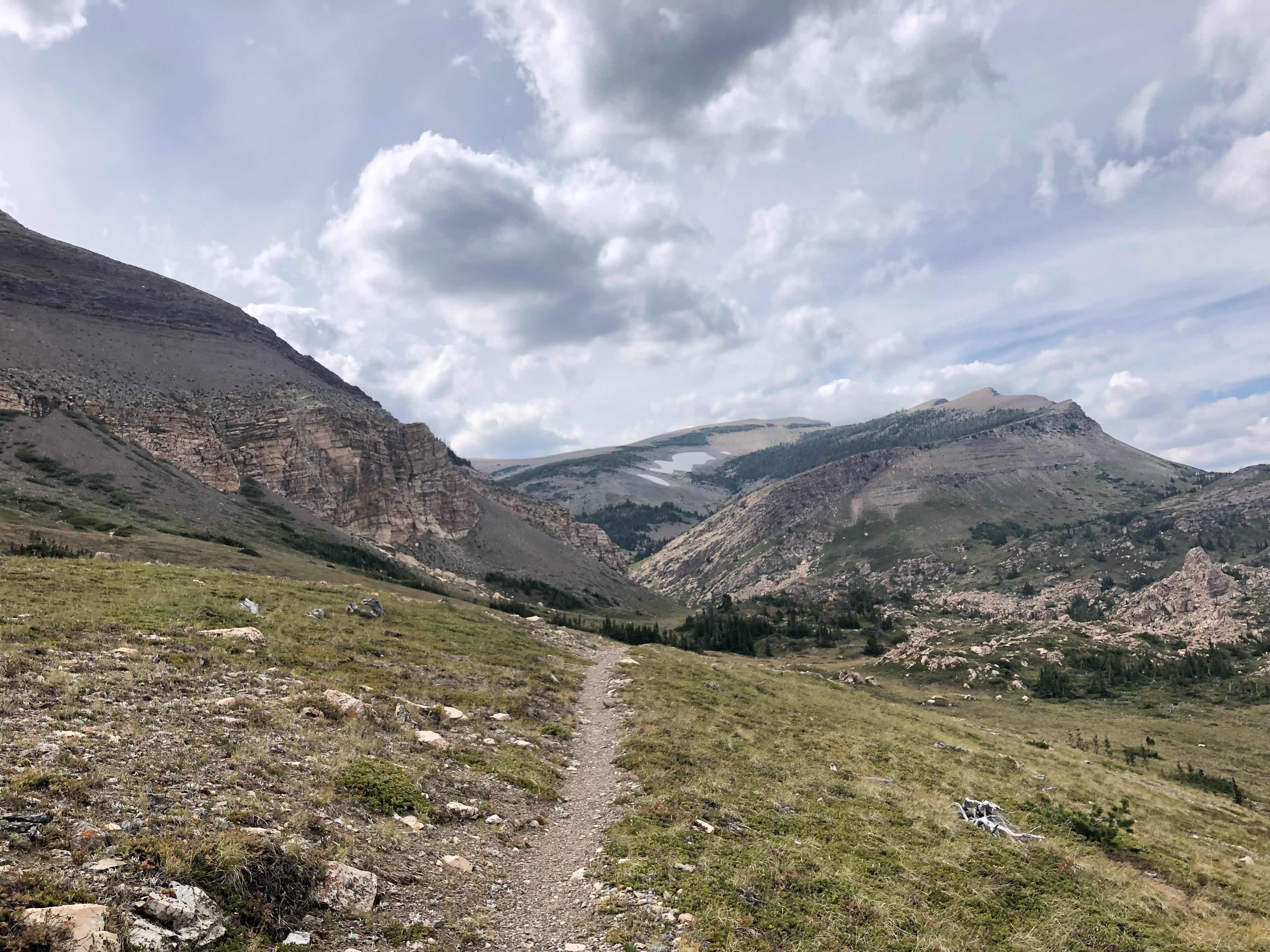
Such a cool hike today
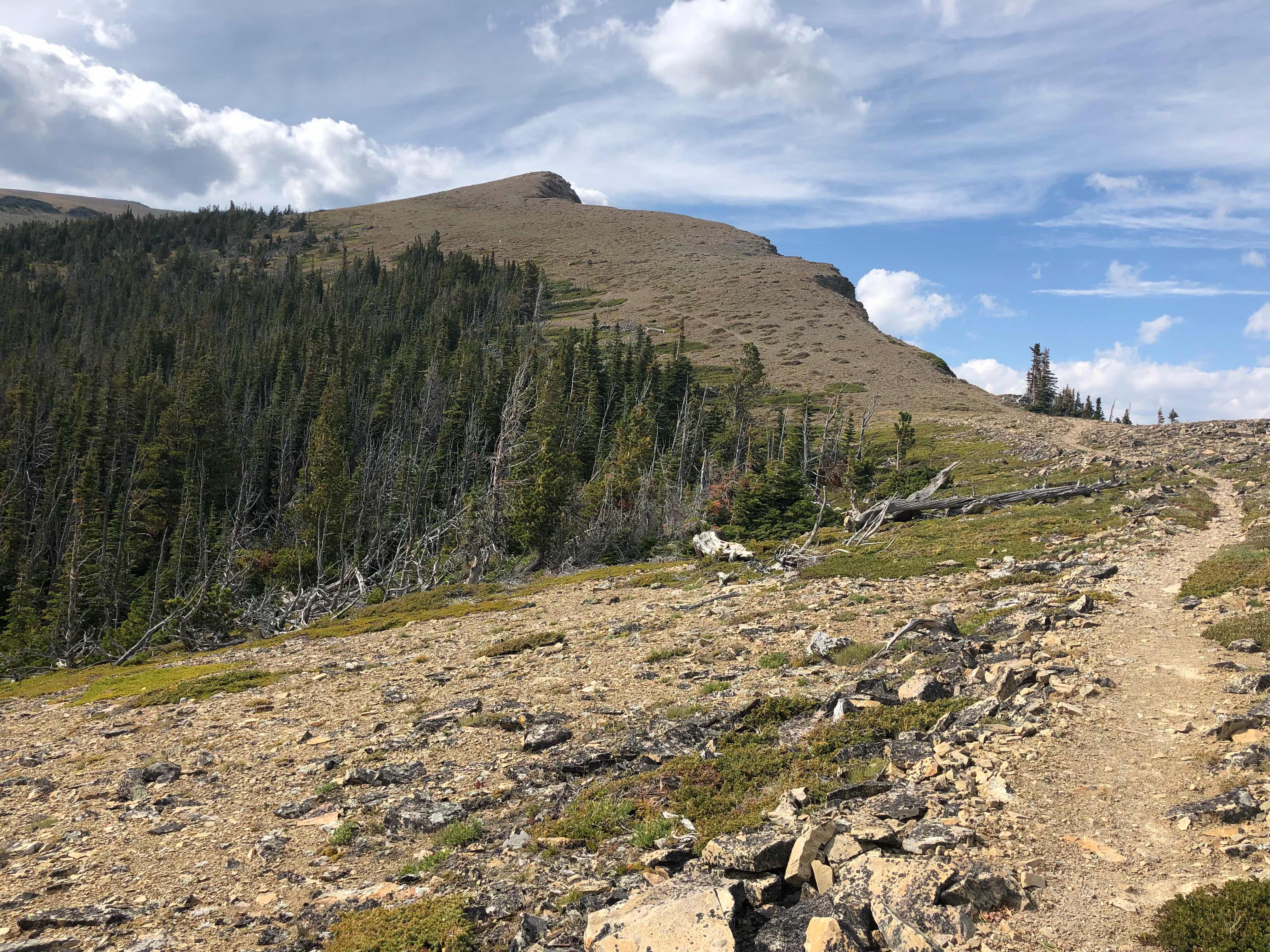
The wind was some of the strongest I have ever hiked in. I swear there were gusts above 60mph. I really had to fight to stay upright and on trail. I love these types of climbs and quickly left the others behind. I was in my element today. I put on music, instead of an audiobook or podcast, for the first time in forever today. I jammed out to Disney music for the entire uphill and most of the down. It turns out that Disney is great hiking music.
A little less haze around today
I can’t wait to see the rest of the park
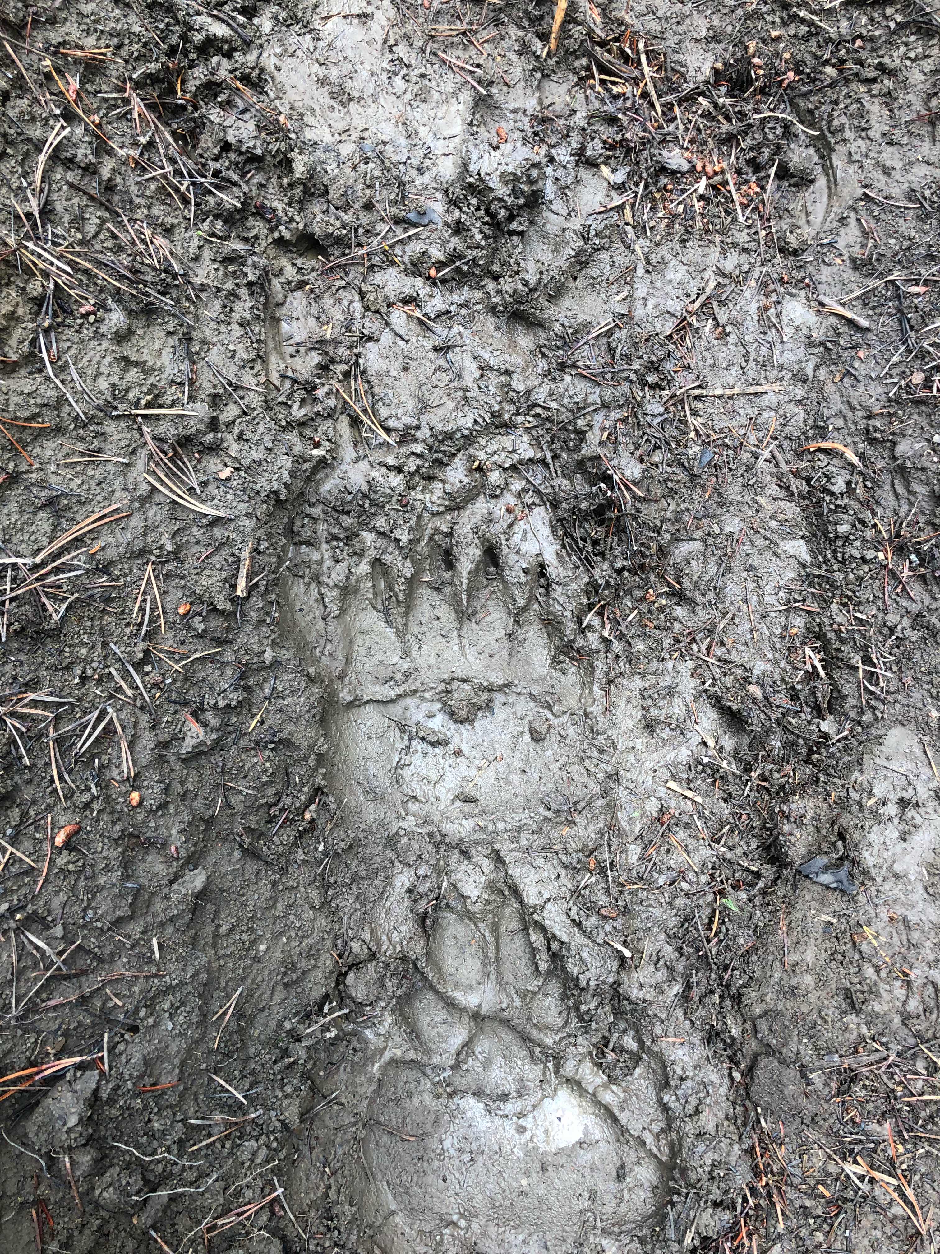
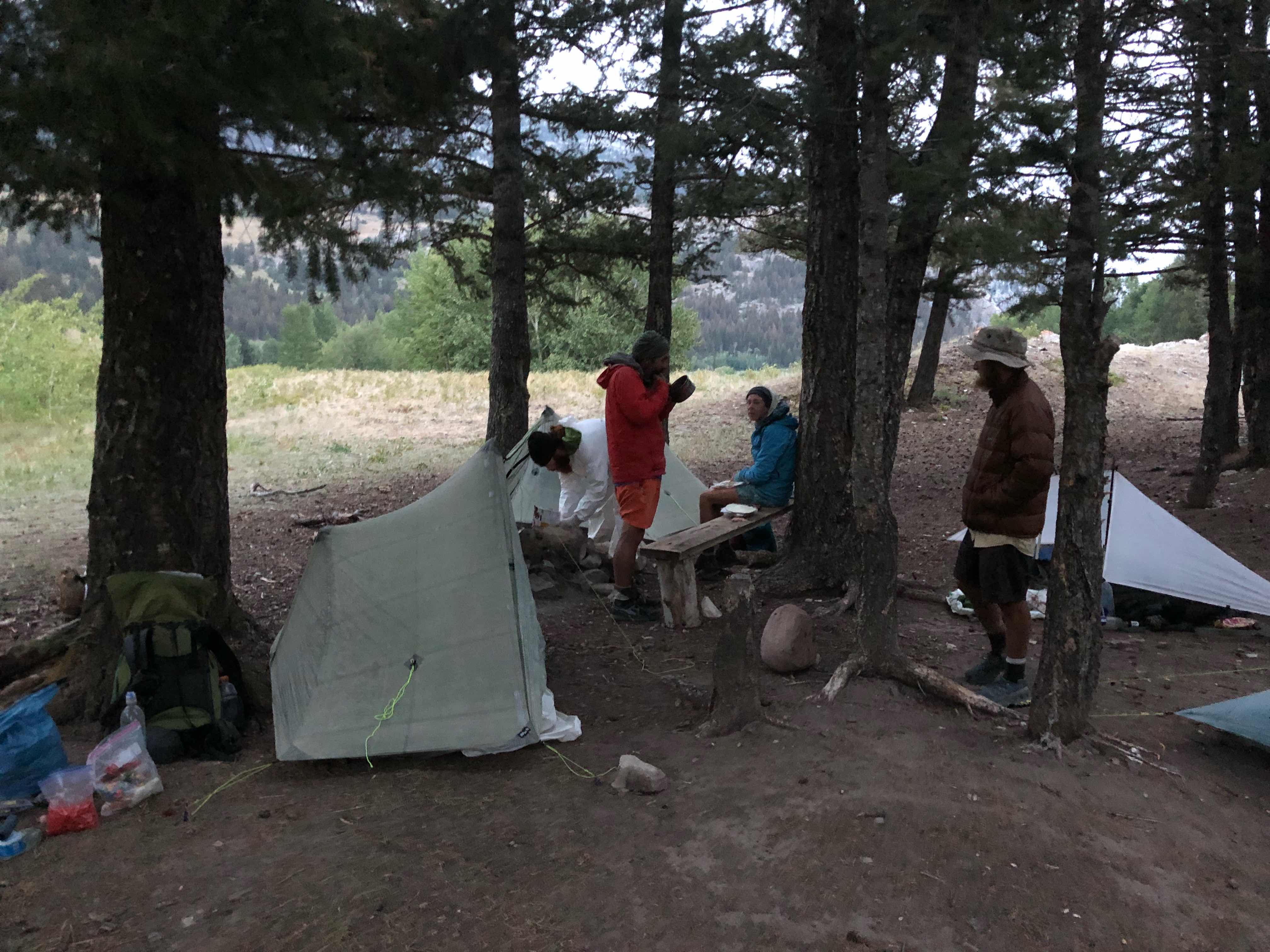
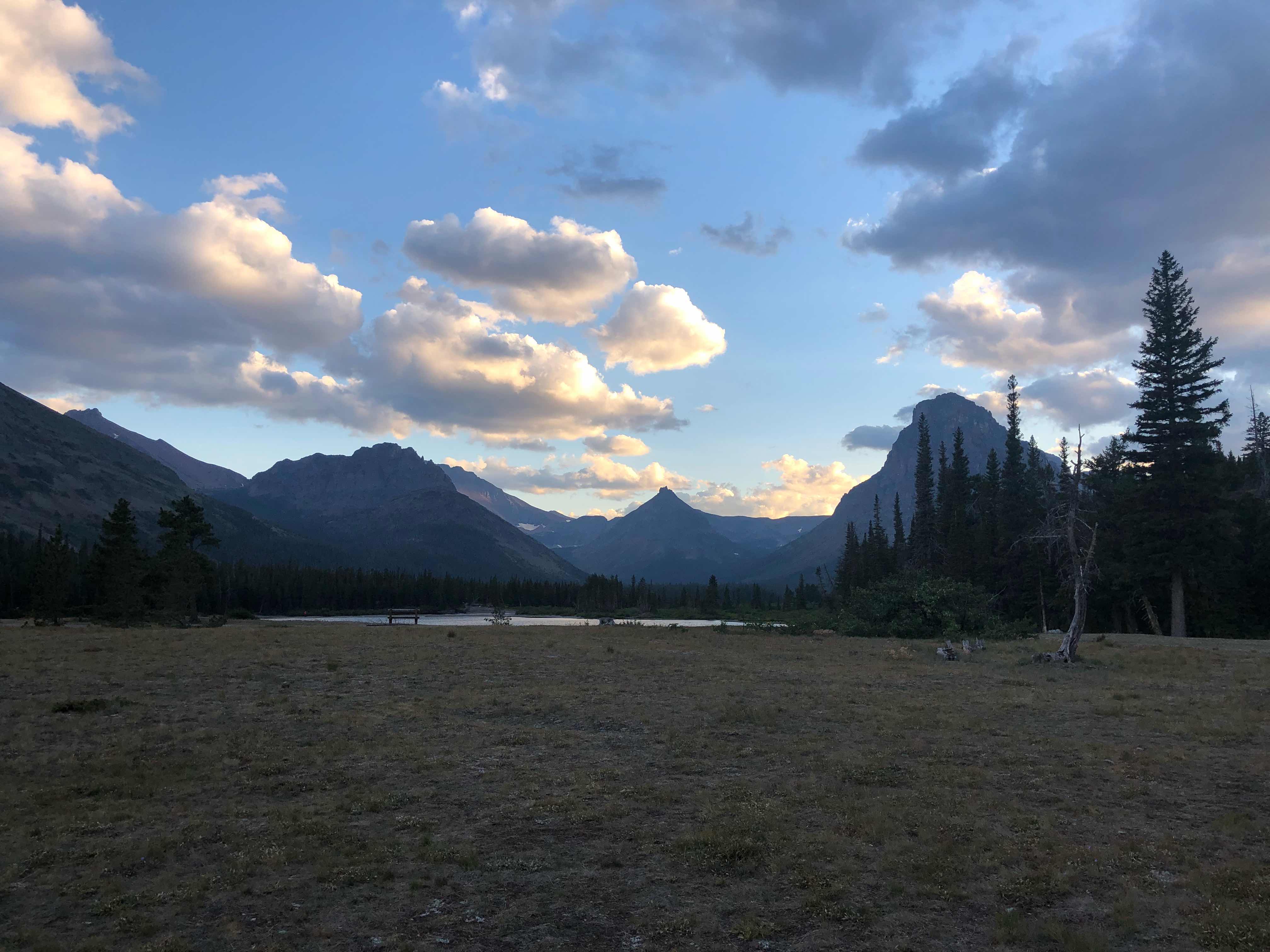
We made it to our final destination, Two Medicine campground, around 6:30. We couldn’t legally hike any farther today. We don’t have our backcountry permits yet. Two Medicine has a backcountry permit office that we will visit for our permits tomorrow morning. We weren’t sure exactly how to proceed because of the fires and increased bear activity throughout the park. We thought it would be best to talk to a ranger in person. Hopefully, this decision doesn’t come back to bite us on the butt. With Labor Day around the corner I expect the park to be busy, but the Park holds a certain amount of backcountry permits for same day walk ins. We hope to get one of those. Two Medicine has a few campground that we were able to stay in. They have two sites permanently reserved for backpackers. I had to pay $5 for the night, but I thought that was fair. I have running water, toilets, picnic tables, a camp store, and bear boxes for food storage. After setting up we walked to the campstore for more food. I lost track of what I had in my pack already and for some stupid reason I bought more food. Once back in camp I proceeded to stuff myself. I will have an excess of calories this section.
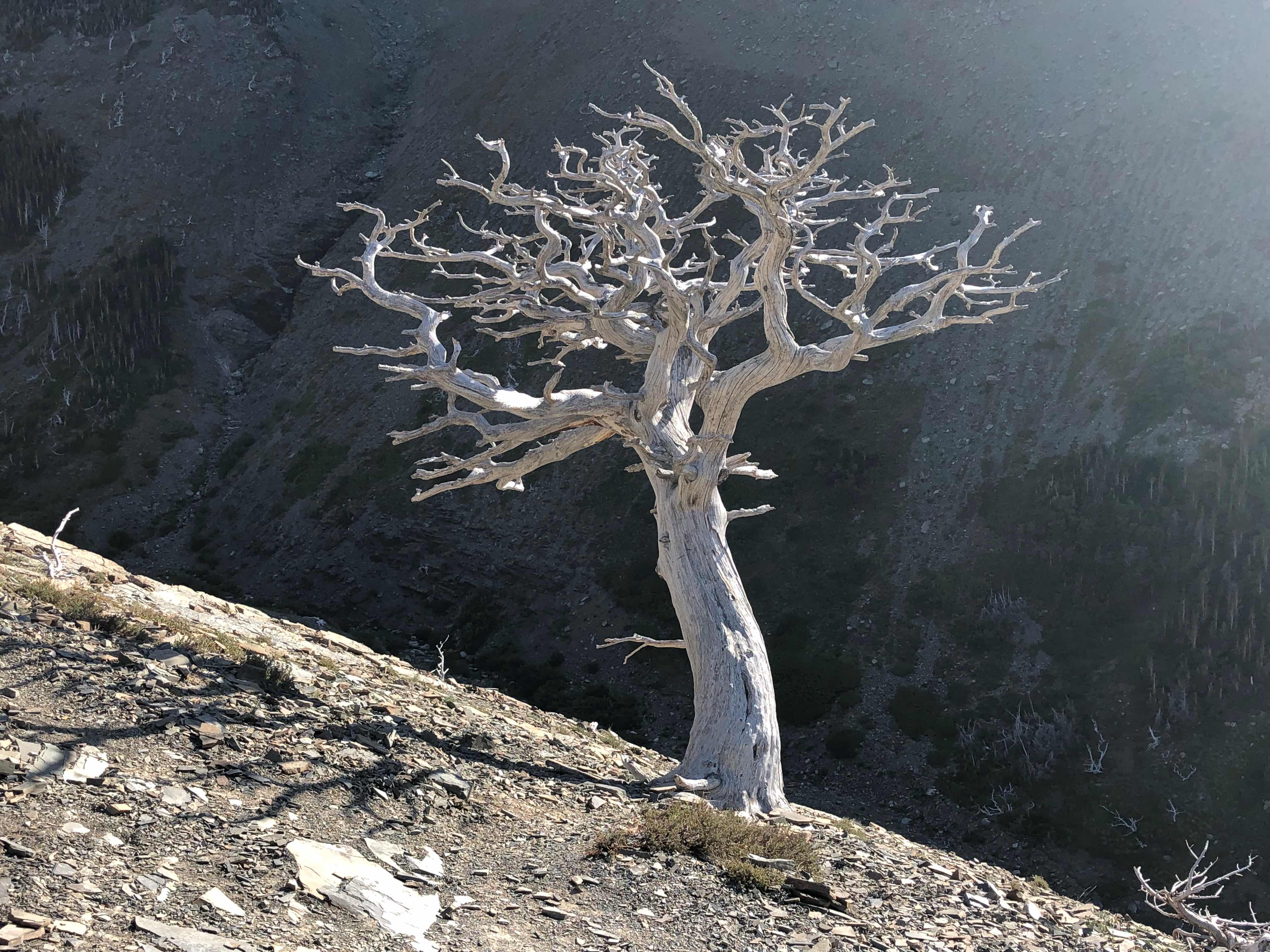
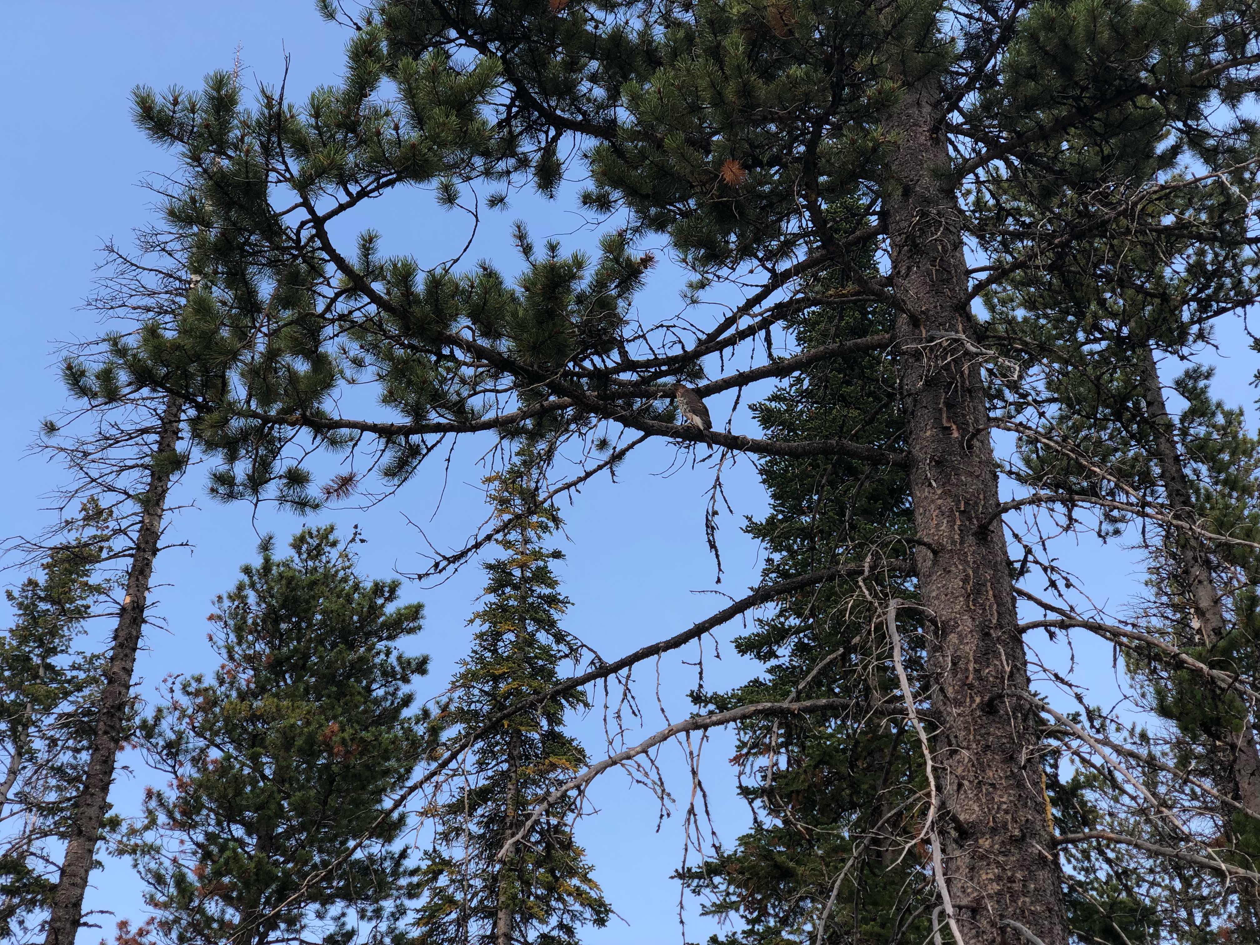
Super cool pine tree on the way to 2 Medicine
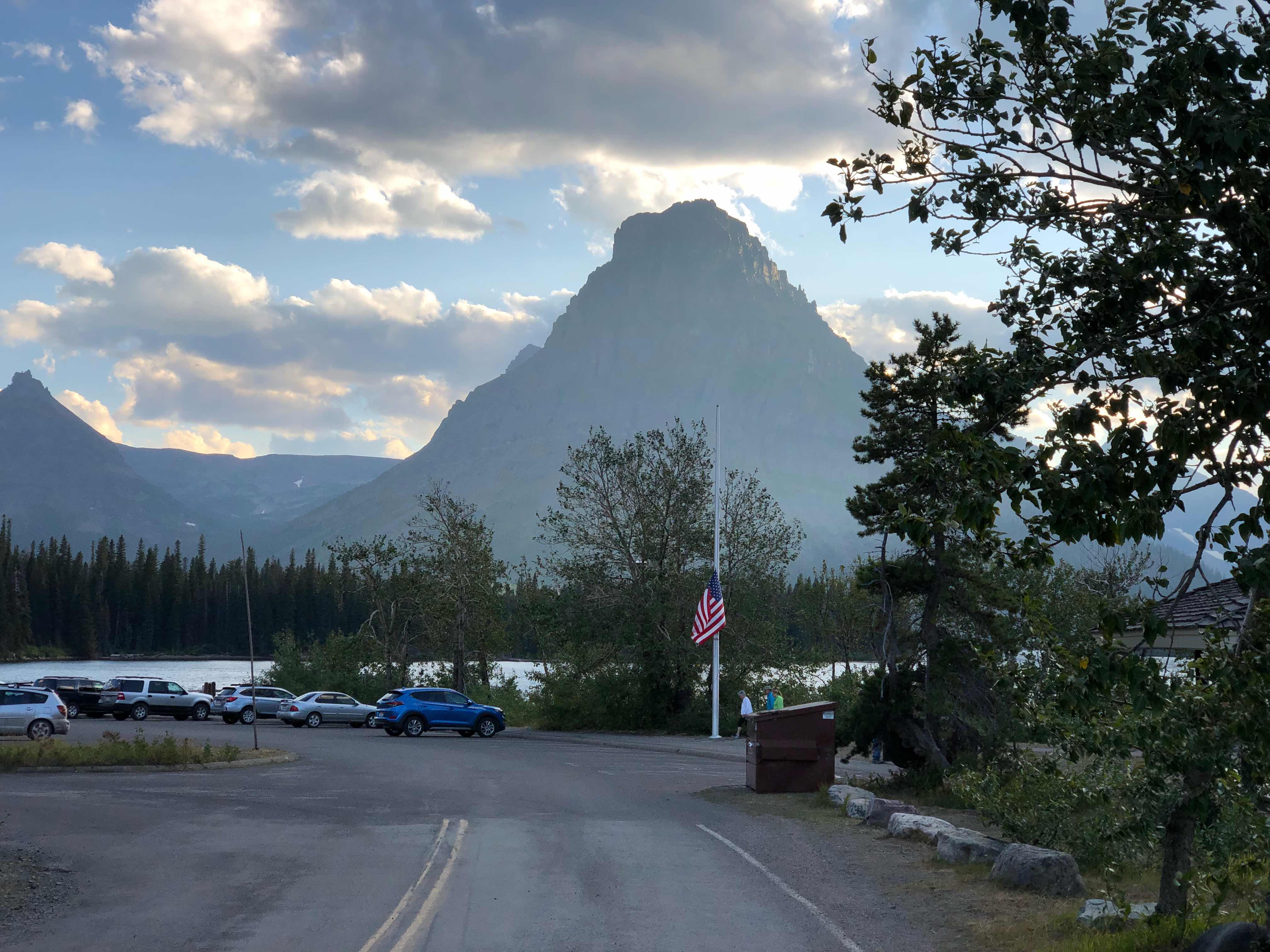
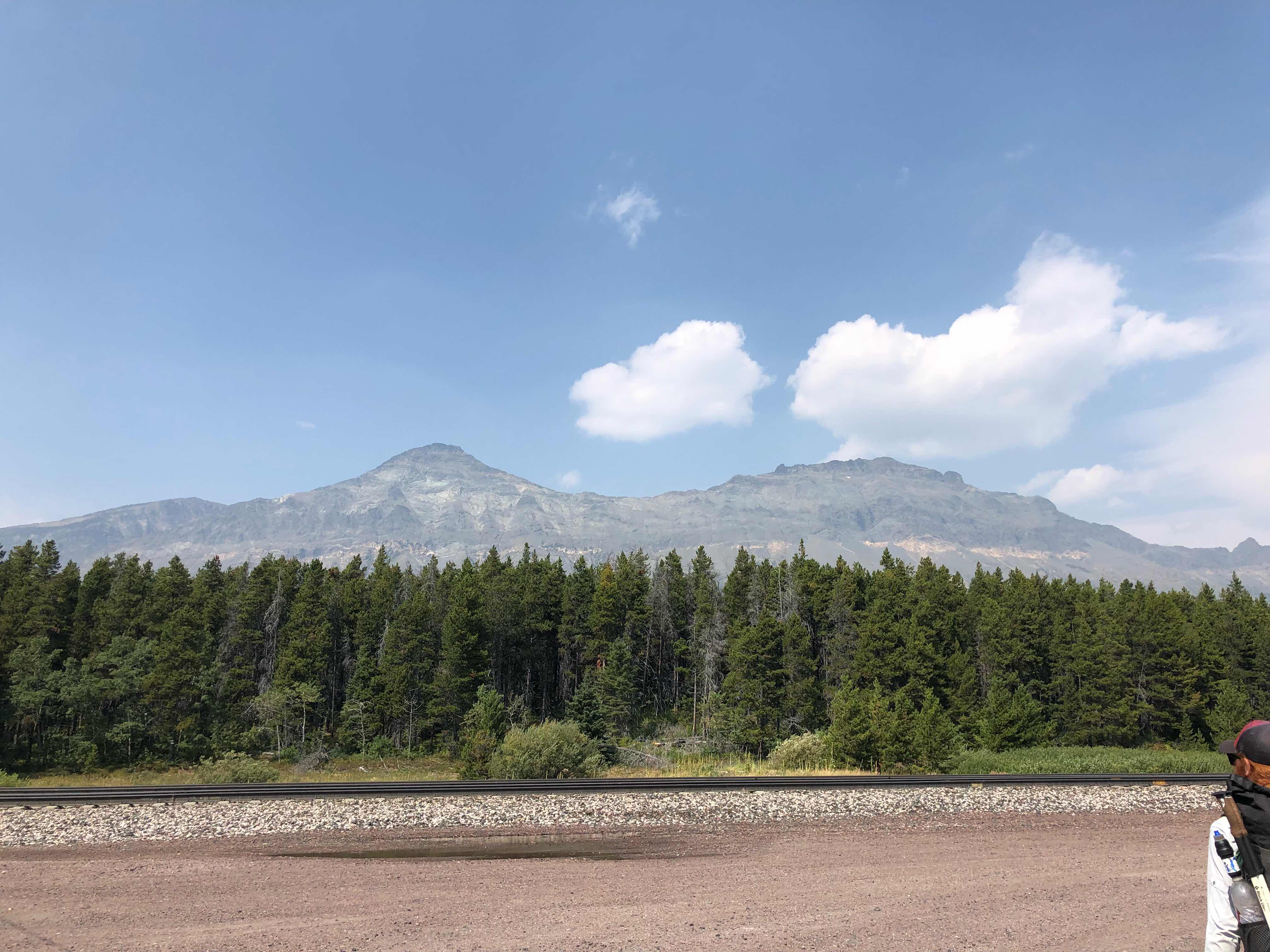
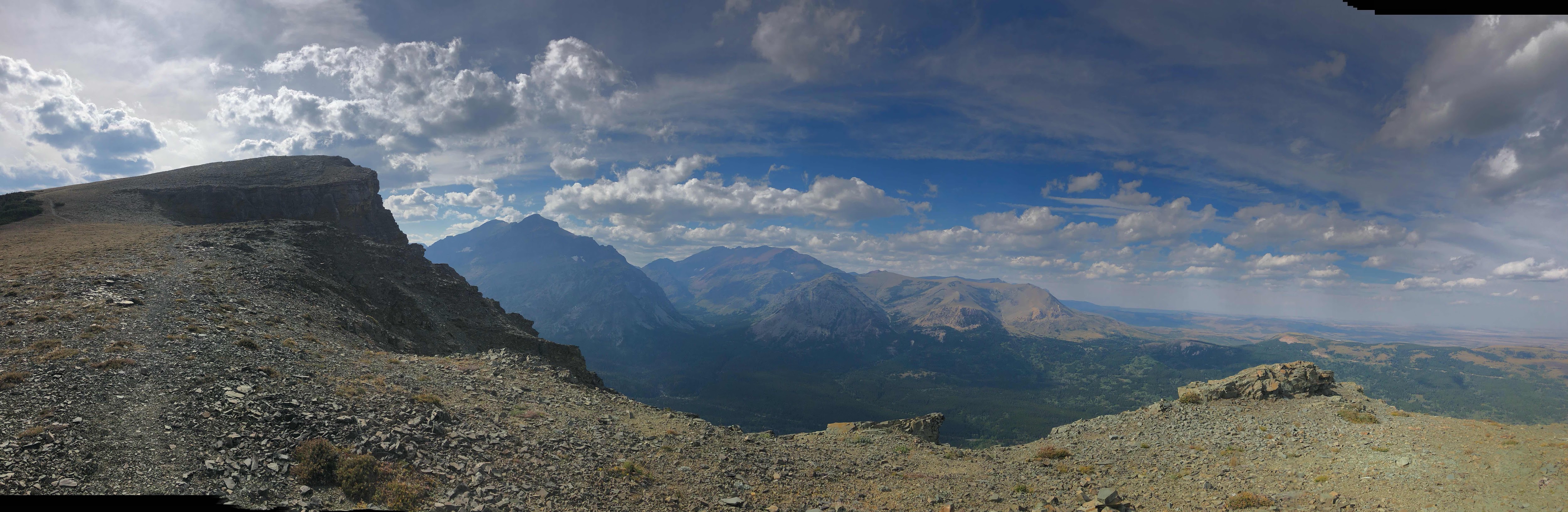
Cool mountain and flag at half mast in honor of John McCain
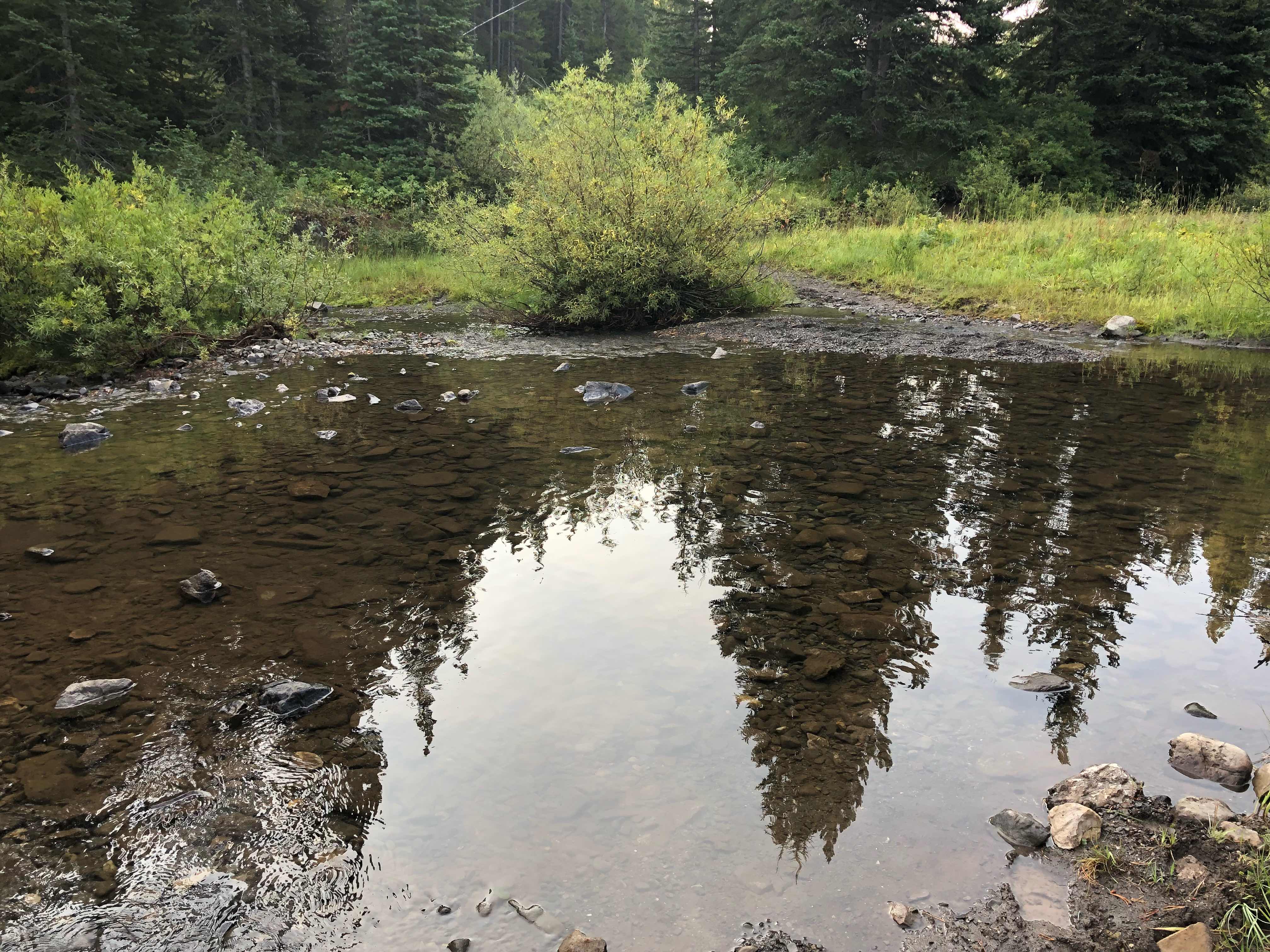
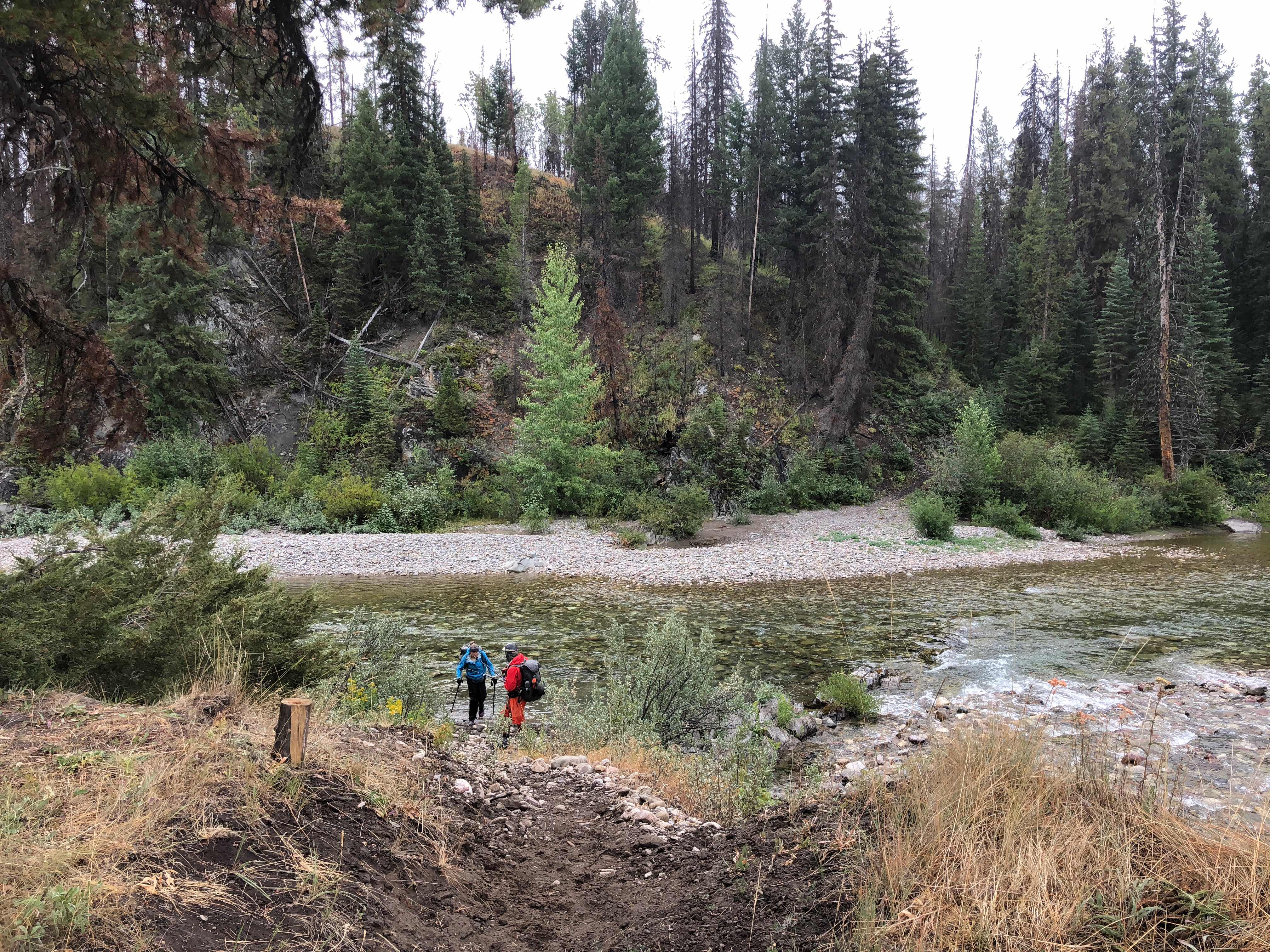
Walking along the lake on the way back from the camp store
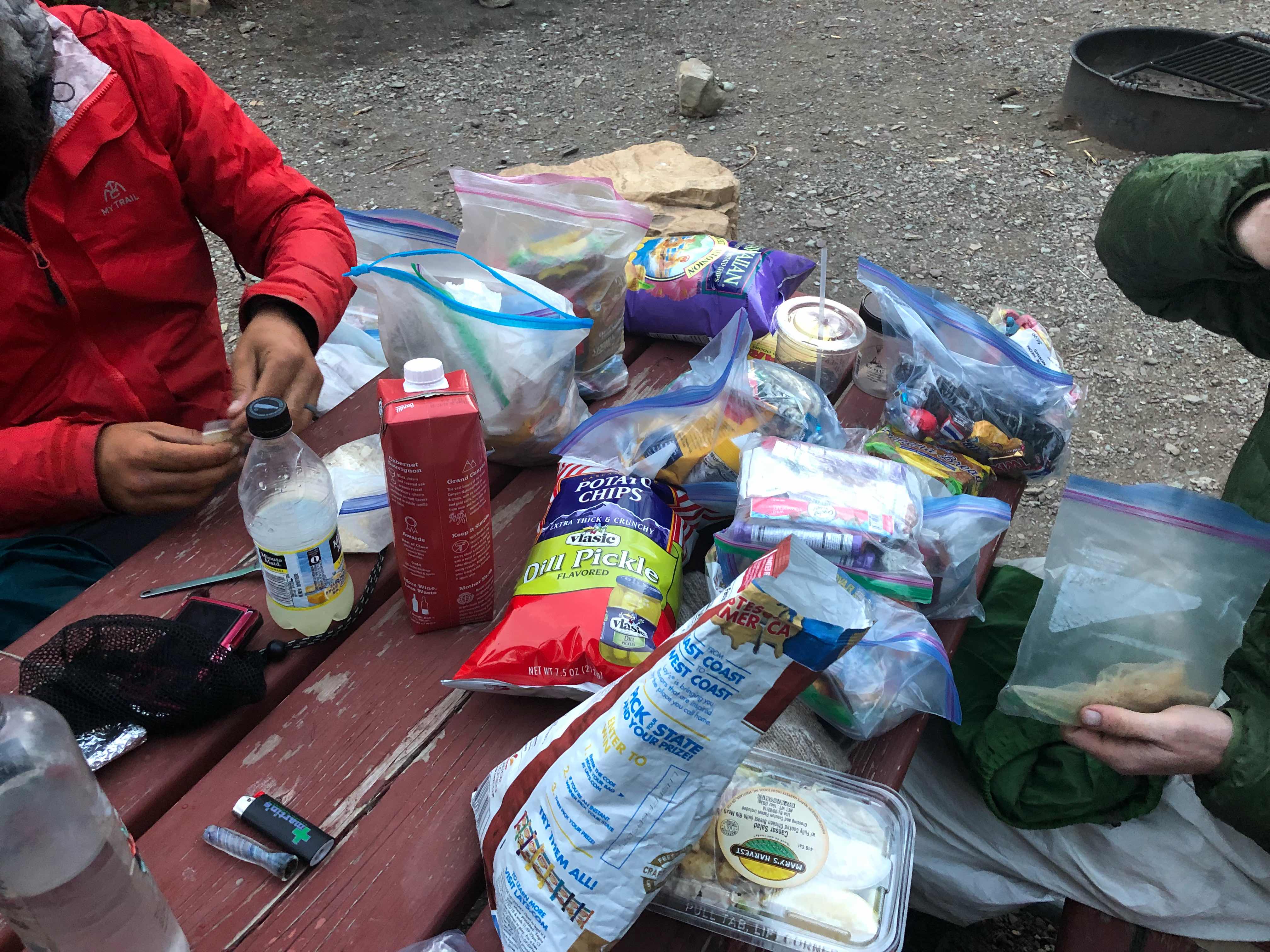
Everyone has way too much food
This last stretch promises to be epic
All guesses about my finish date and time need to be submitted by tonight.
“We deem those happy who from the experience of life have learnt to bear its ills without being overcome by them.”
- Carl Jung