Wednesday, September 9, 2020

Day 29- An Unexpected End To The Journey

Monday September 07, 2020
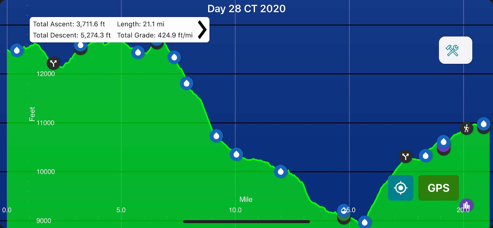
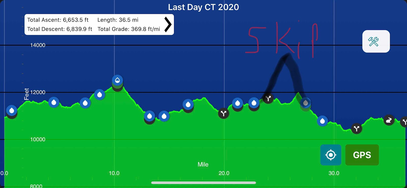
Little Molas Lake(412.1) to My Car(448.6) 31.7mi
Total Miles: 491.8
Elevation: 10,736ft


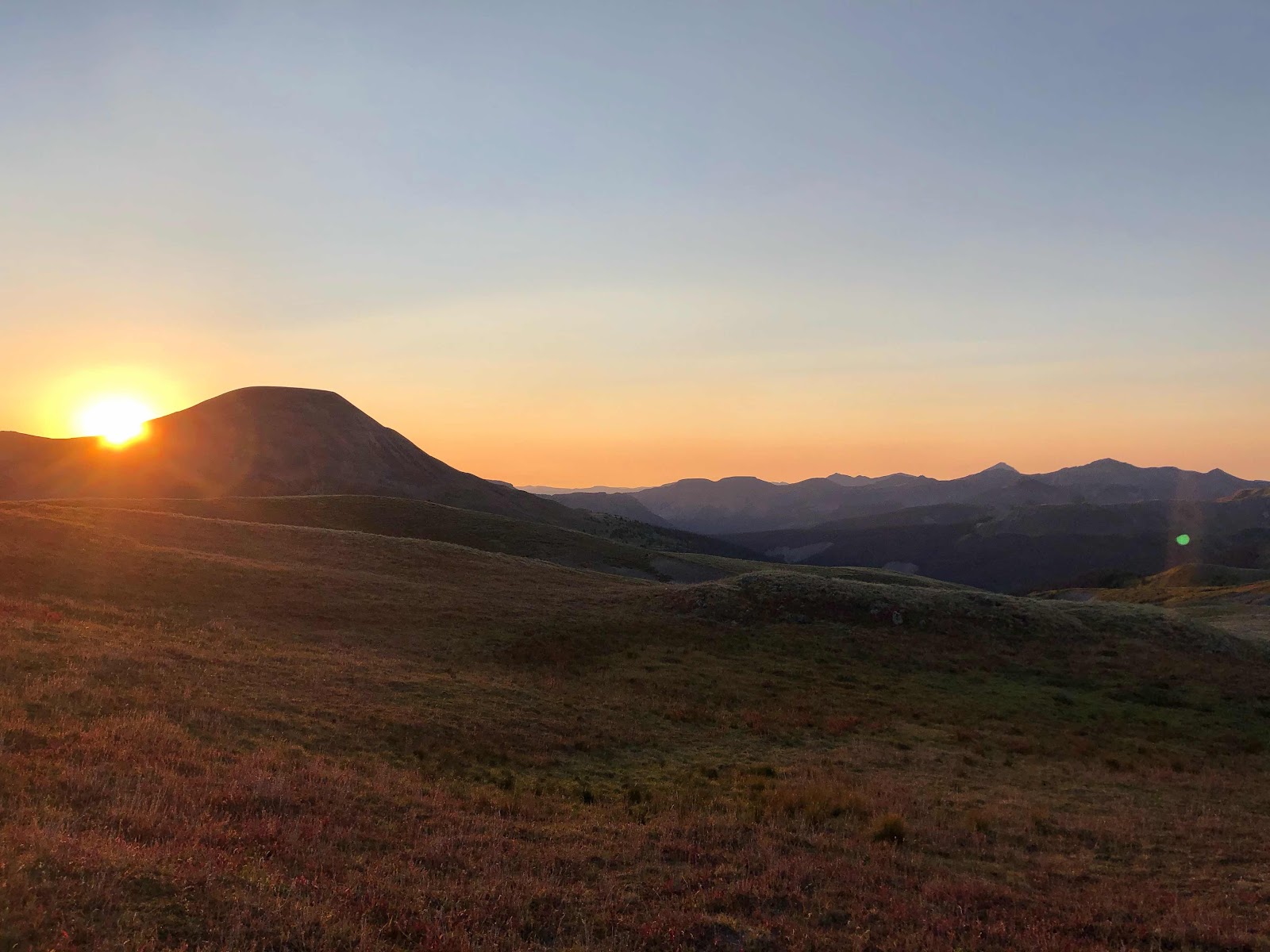
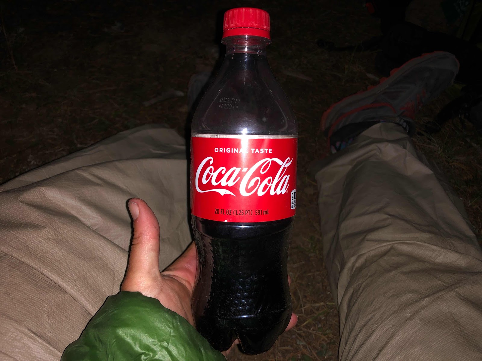
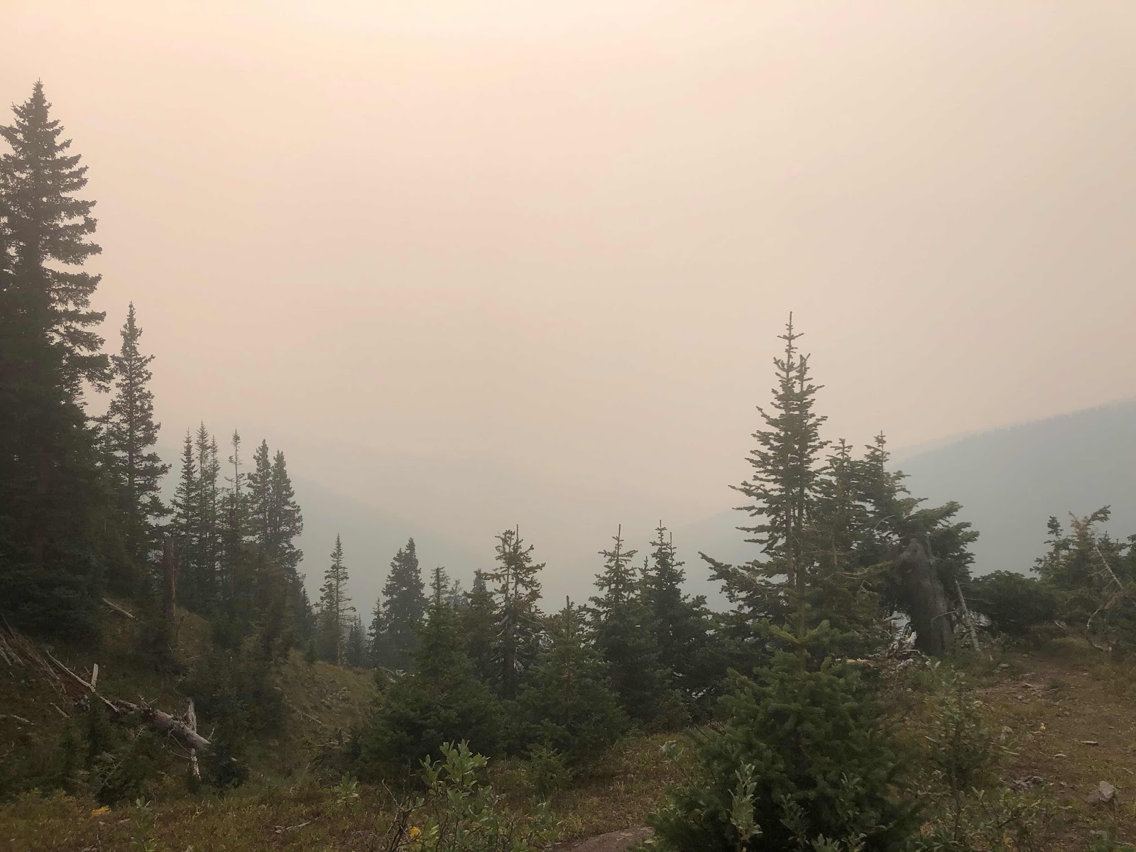
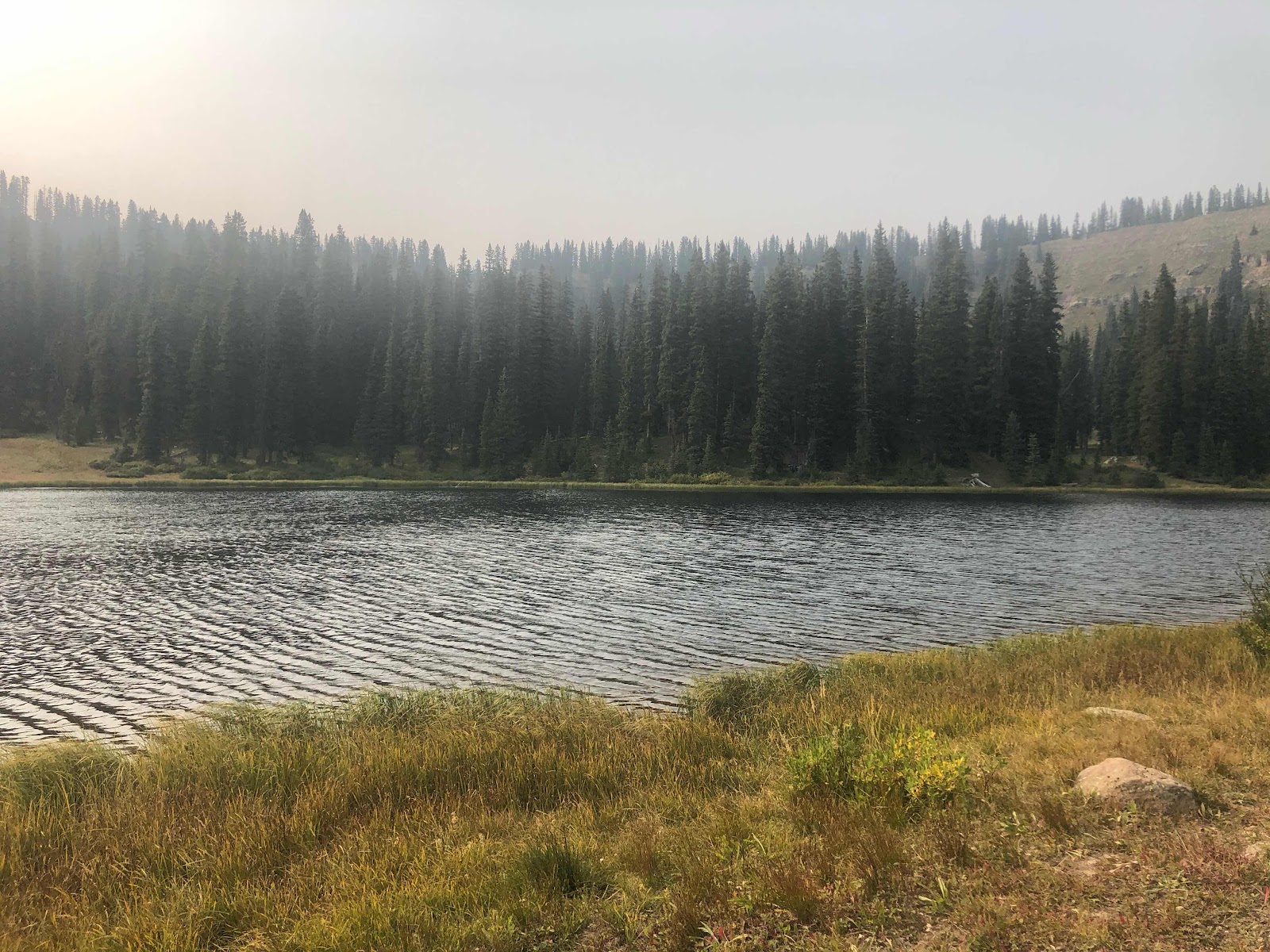
It was very warm last night. I was dressed as usual and I kept taking clothes off every twenty minutes. Eventually I got out of my sleeping bag altogether, but that was short lived. I must admit that ice cold Coke right before bed was a mistake. I don’t drink a lot of caffeine on trail and that Coke was just too much, too late. I tossed and turned until after midnight. Lack of sleep really made it difficult to get going this morning. I knew I needed to put in a big mileage day to beat the winter storm approaching. I only have 31ish miles left to hike before I connect my footsteps and end the trail. The storm is predicted to hit at noon tomorrow and I need to be off the trail by then. 8-12” of snow and 40mph winds are predicted for elevations above 9,000ft. I will be above 10,000ft for all 31 of those miles. When I first started packing up it looked like the storm front was already here. It took me awhile to figure out that what I was seeing was the smoke from all of the western wildfires. It was the worst smoke I’ve ever had to hike in. 
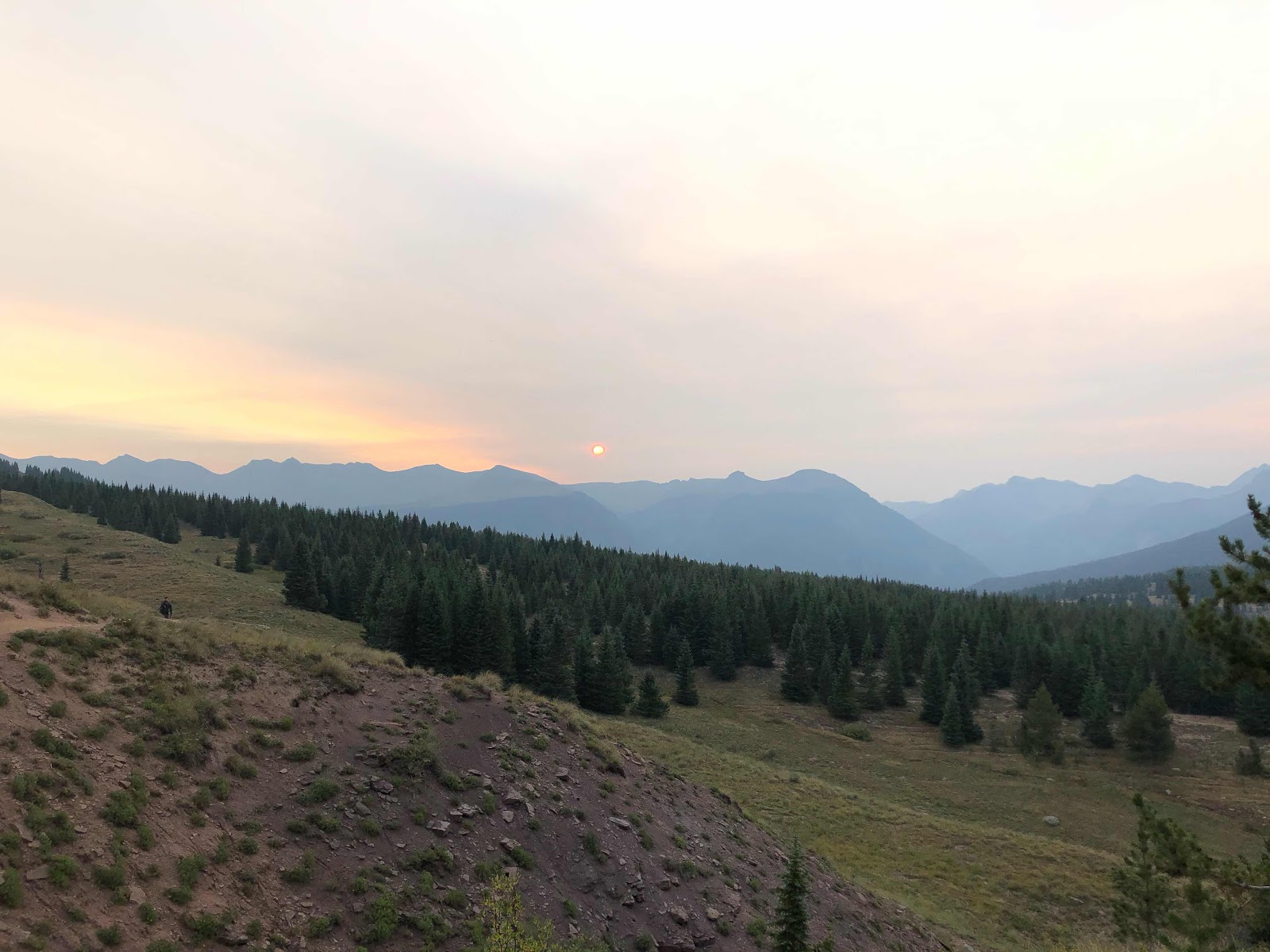
Smokey sunrise

As soon as I left camp I started to climb and the wind had already picked up noticeably. I had just enough cell service to check a weather report. It was the same as the day before, I had a little over twenty four hours to get off of the trail. I made really good time for the first three hours. I kept up an almost 3mph pace. By ten o’clock I had hiked almost nine miles. My plan was to hike to the lake at Bolam Pass, which was about twenty miles into my day. I would stop there to cook and eat dinner. There weren’t very many reliable water sources after Bolam Pass and I didn’t want to have to carry a lot of water up another pass to dry camp. From Bolam Pass I would only be eleven miles away from the end. Any miles I could get done after dinner would set me up nicely for my final morning. 

Weather report

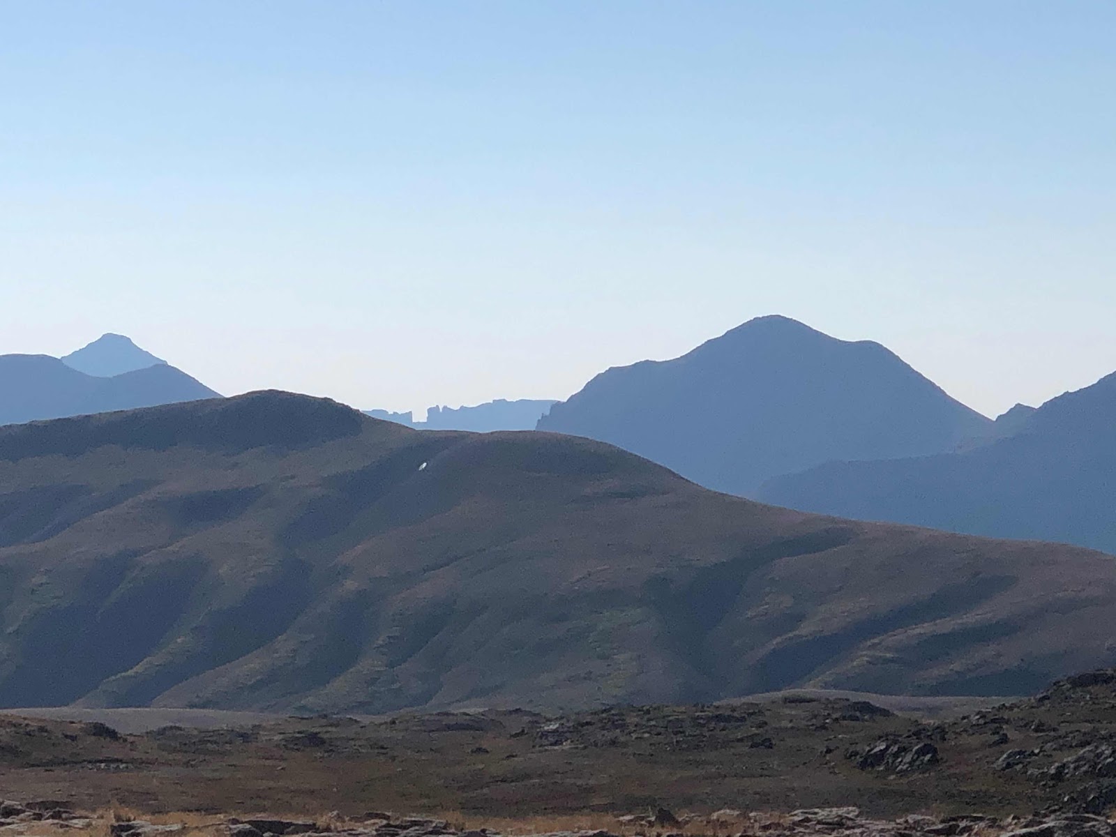
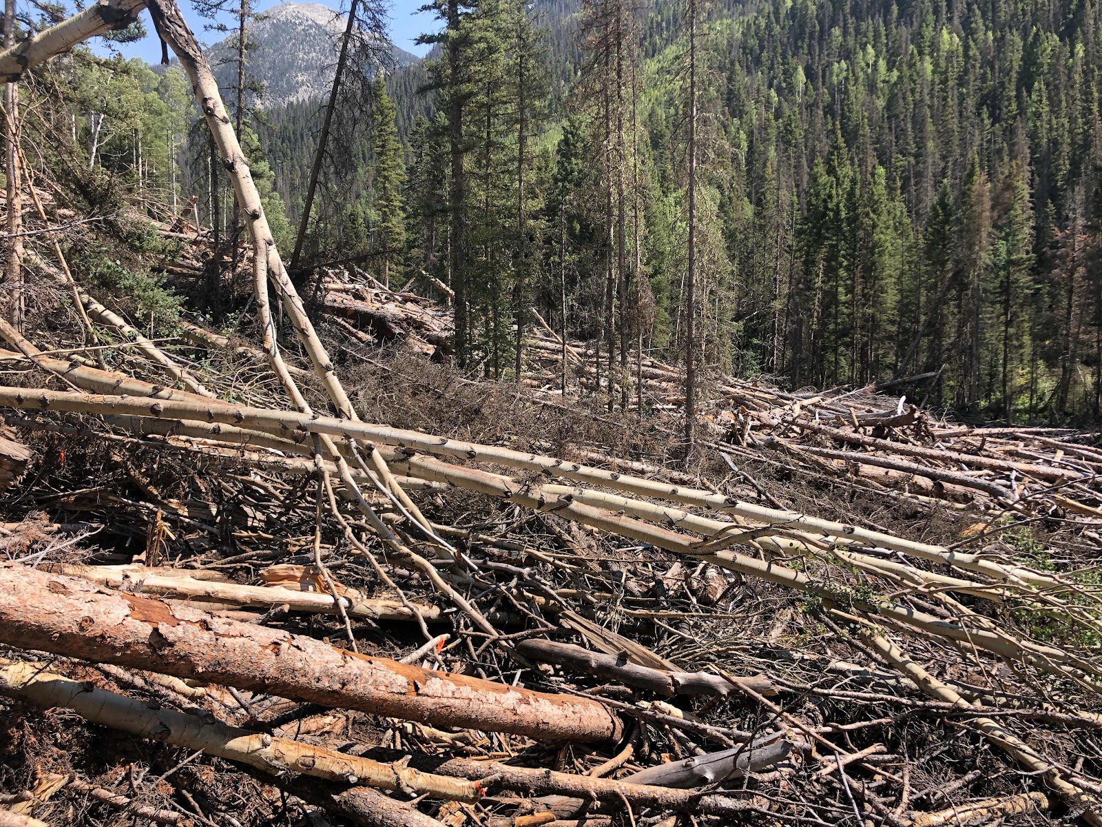
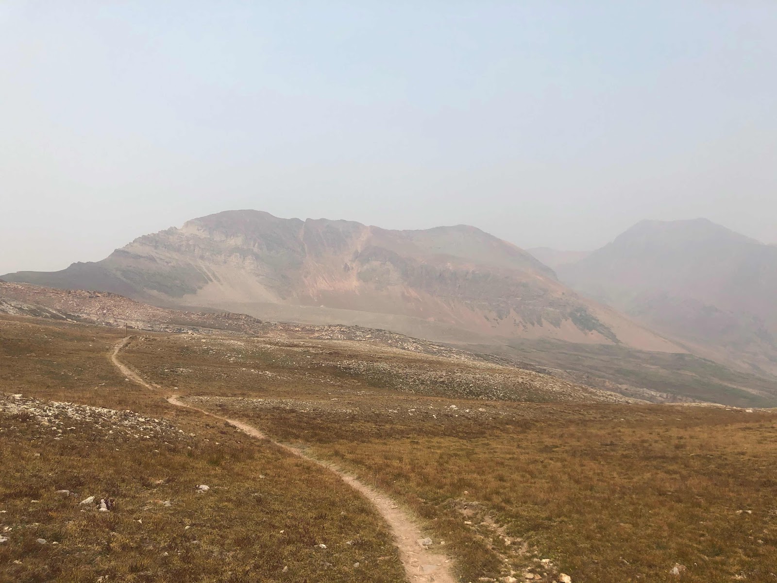
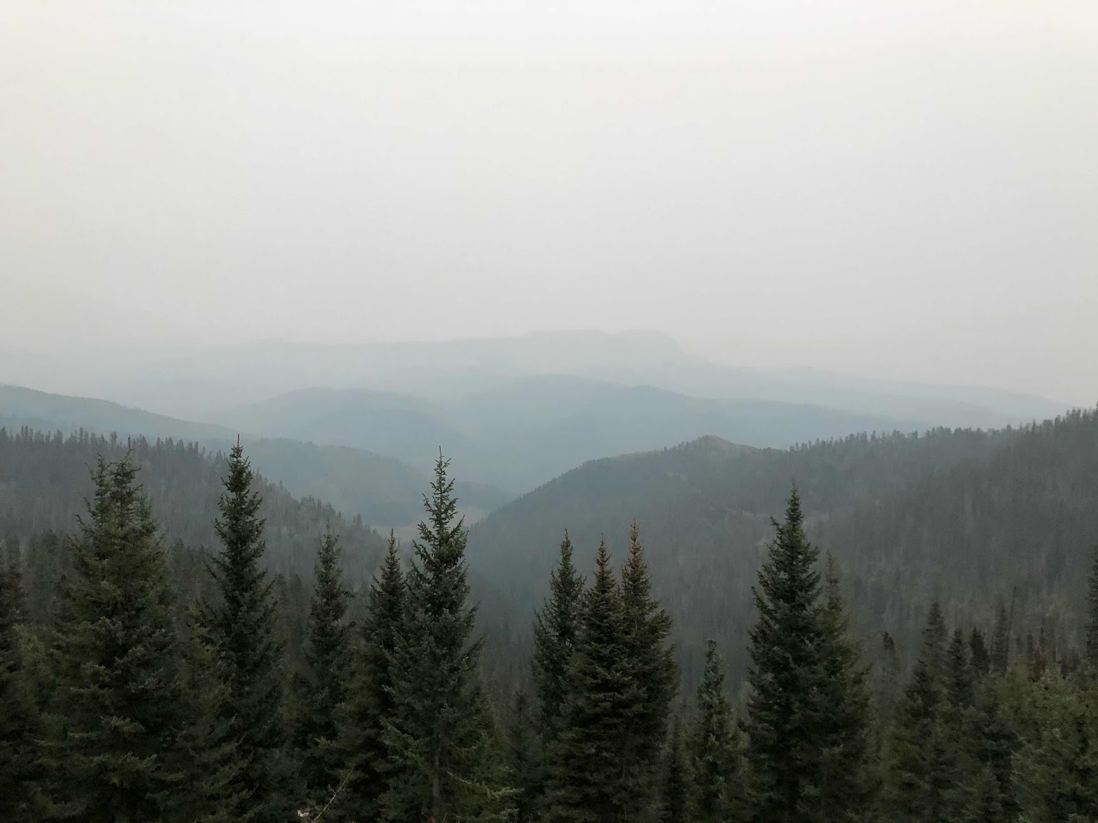
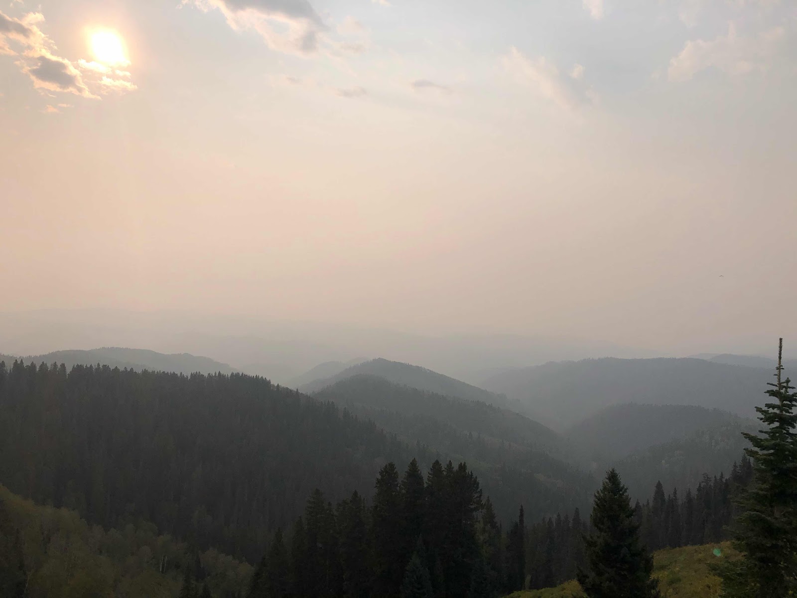
The first six miles of the day went by pretty quickly and felt easy. Shortly after taking a quick break to get water I started to have issues from the smoke. I felt like I was having a bout of hay fever. I couldn’t stop sneezing and my nosy started running. Soon after that started up I began to cough heavily and frequently. The rest of the day was quite the struggle. I was coughing up massive amounts of phlegm and blowing snot rockets left and right. I wish I could say that my last day was beautiful and very scenic, but for most of the day I couldn’t see more than a half mile away. At one point I couldn’t see farther than a few football fields away. 

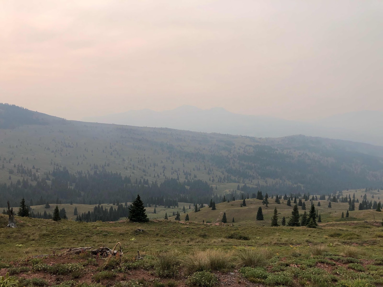
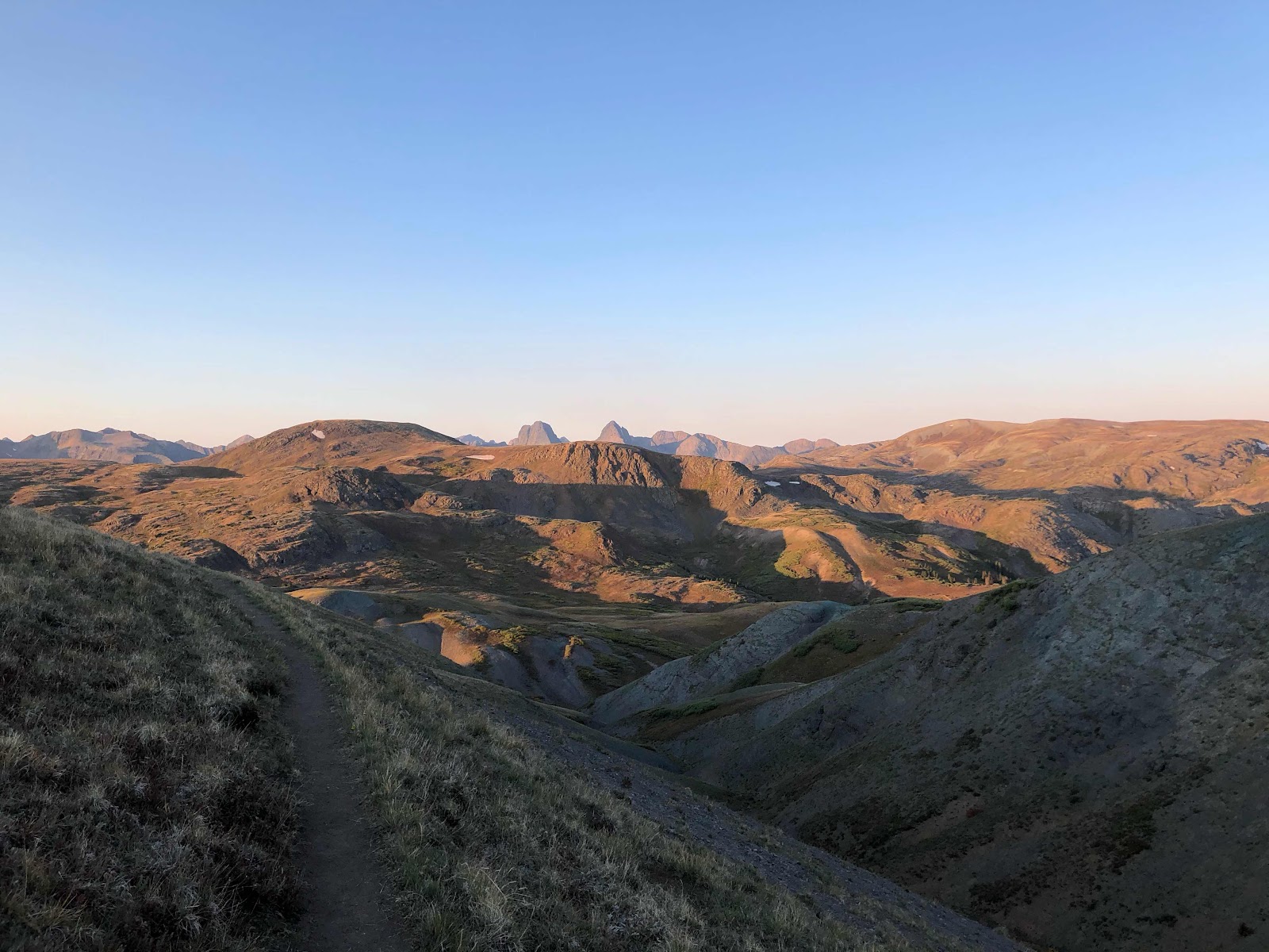
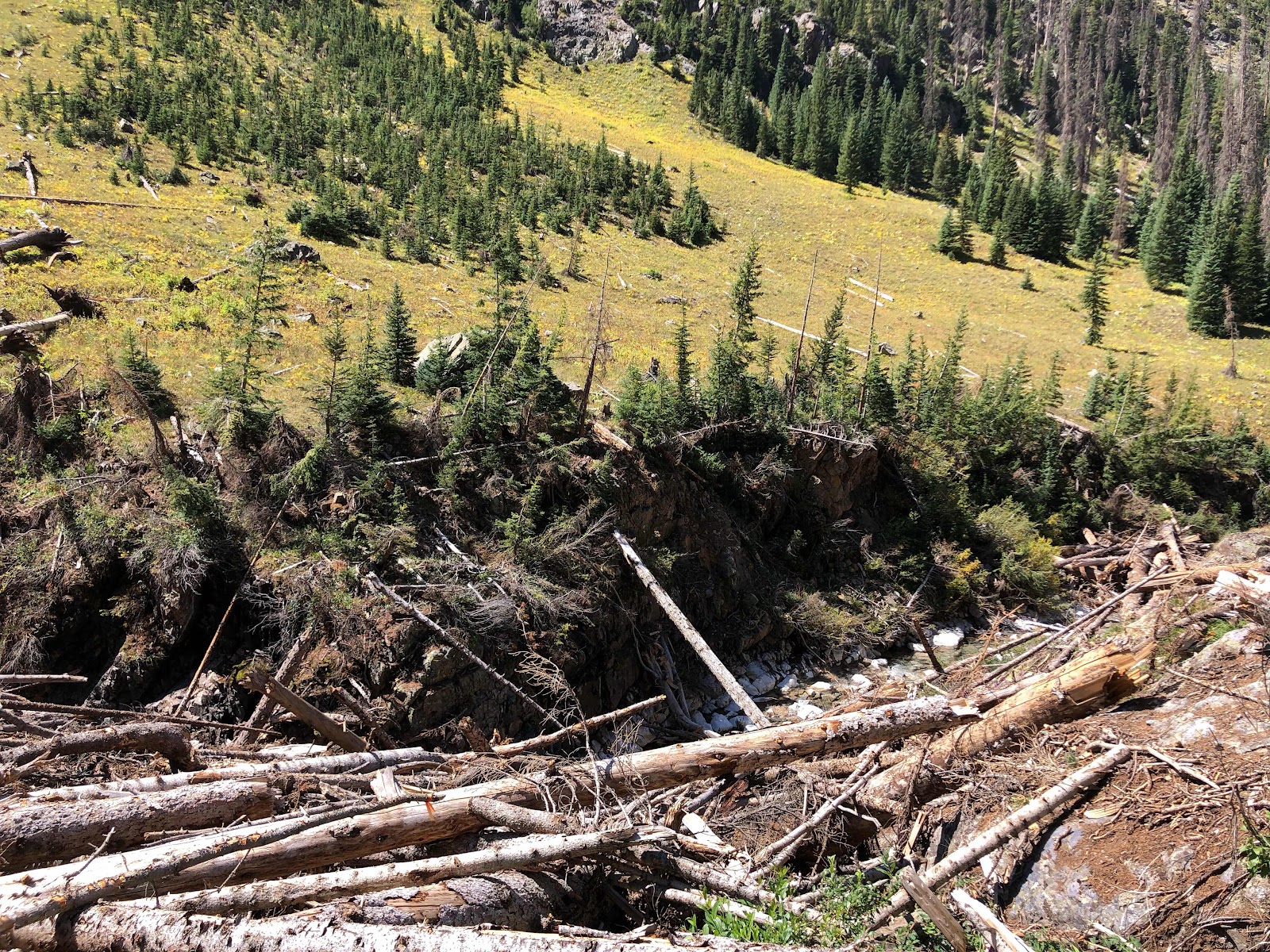
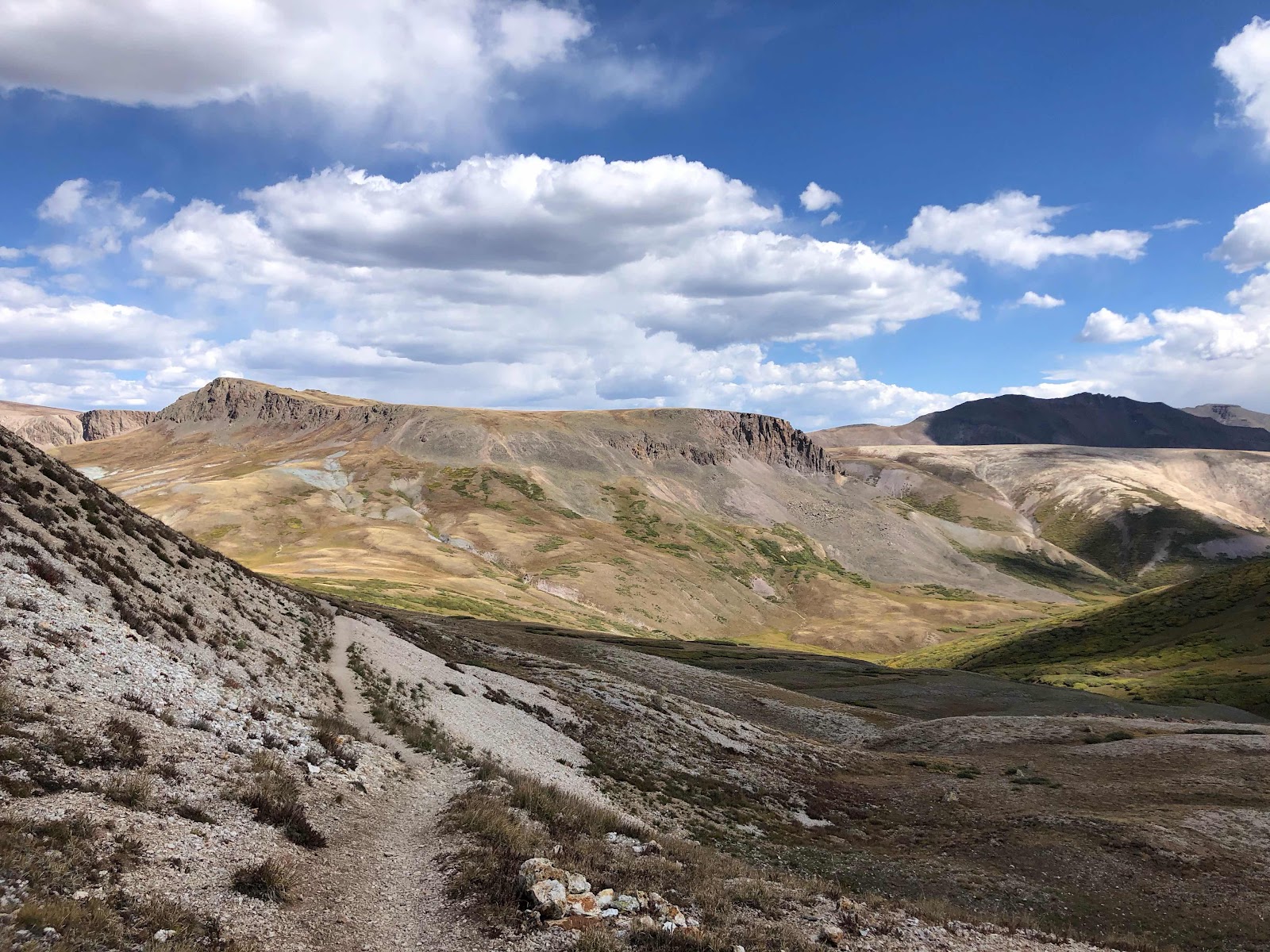
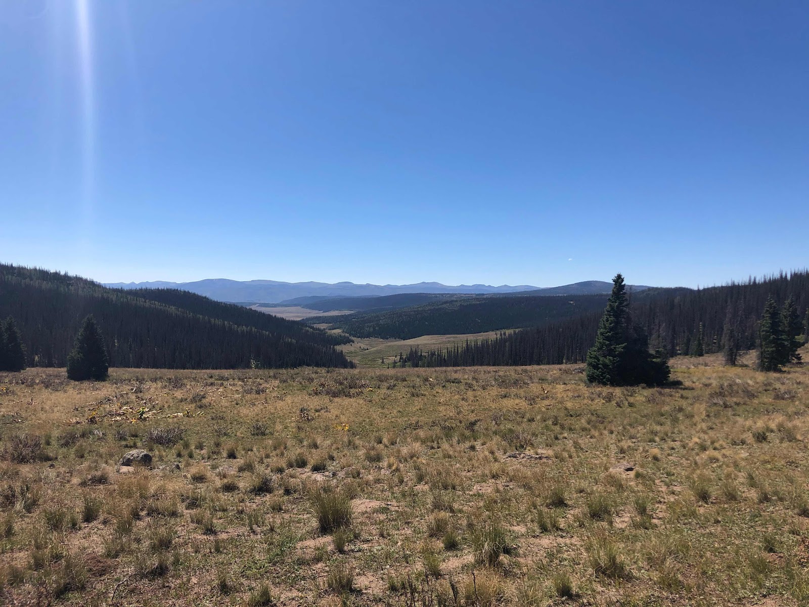
View from a ridge line 

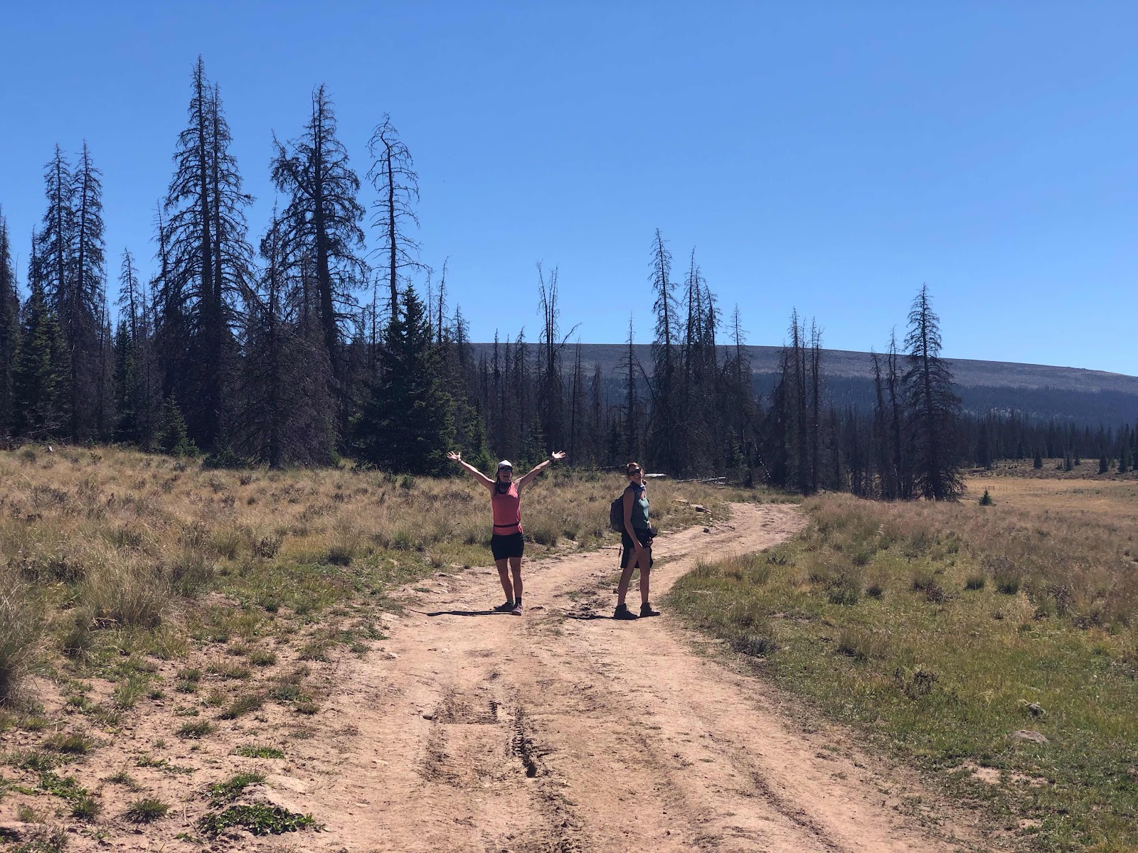
I only saw one other thruhiker today. Everyone else was waiting out the storm in Silverton. I tried hard all morning to catch up to the guy ahead of me. He passed me when I stopped to get the weather report and I didn’t think about talking to him about the weather then. The longer I hiked the more concerned I became that he didn’t know about the storm. There were a lot of mountain bikers on the trail. I chatted briefly with one lady while I was stopped to get water. She was concerned that I didn’t know about the storm. I explained my unique situation to her. I only had about 26 miles left to hike at that point and I had a plan to get off of the mountain before the snow started. I asked her to keep an eye out for the guy I saw earlier that morning and asked her if she could talk to him and find out if he was prepared for the winter weather. She promised me that she would. Later in the day she was on her way back and told me she had in fact talked to him. He felt like he was capable of hiking forty miles a day and would make it to Durango before it got really bad. He also had a plan B in case he wasn’t making miles quickly enough. I felt much better knowing he was aware of the potential danger that he was in. All day long every mountain bikers that passed me asked if I knew about the storm. It was nice to feel like everyone was looking out for each other. I bet the businesses in Silverton will be doing extremely well with the large amounts of hikers and hunters fleeing the mountains over the next few days. 

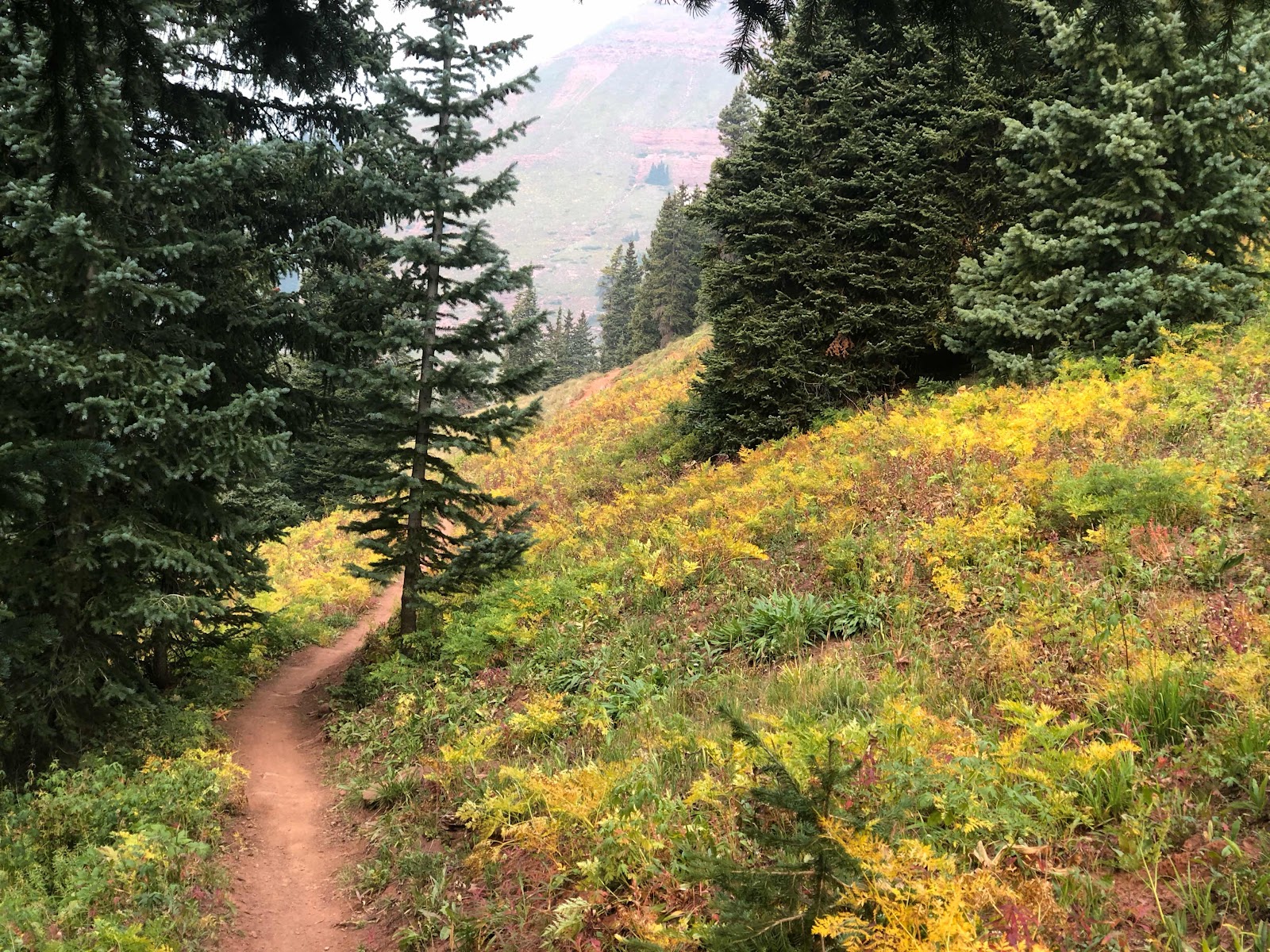
Early signs of Autumn 

Really bad smoke

The other problem I had today was power. Not remembering to charge my battery pack before leaving Lake City was finally coming back to bite me in the butt. The solar charger preformed admirably on this hike. It managed to recharge my battery pack almost everyday. Yesterday I spent most of the day in a canyon without direct sunlight and today the smoke was too thick to let light through. I have no doubts that if I had left town with it fully charged it wouldn’t have been an issue. I was going to have to make some hard choices tonight about what to charge. My InReach battery was almost dead, my smart watch takes power, and my cell phone usually drains down to 30% every day. I definitely wasn’t going to waste power on my watch, the hard choice was between my cell phone and the InReach. Ultimately I knew I would choose to keep the InReach charged. That is my lifeline in case something goes terribly wrong. From Bolam Pass to my end of trail I don’t need my cell phone. The trail is easy to follow so I wouldn’t need to use the GutHook app. I started to conserve my cell phone battery by not listening to any music, podcasts, or audiobooks. Honestly it was a nice change of pace. I have relied heavily on audio distractions on this trail. On my other long distance hikes I have gone most of the mornings without listening to anything. I’m not sure why or how I got out of that habit on this trail. 

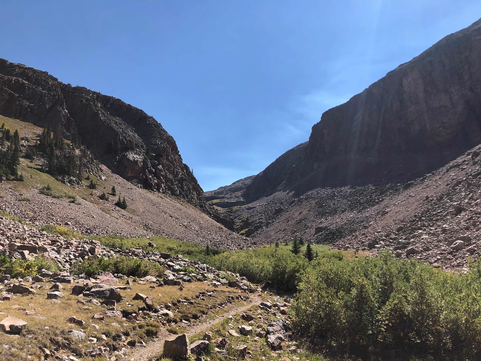
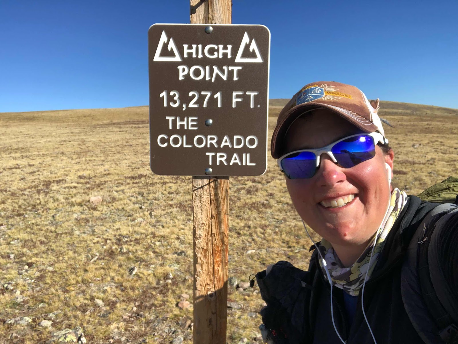
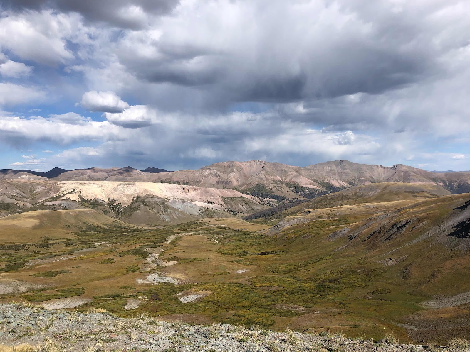
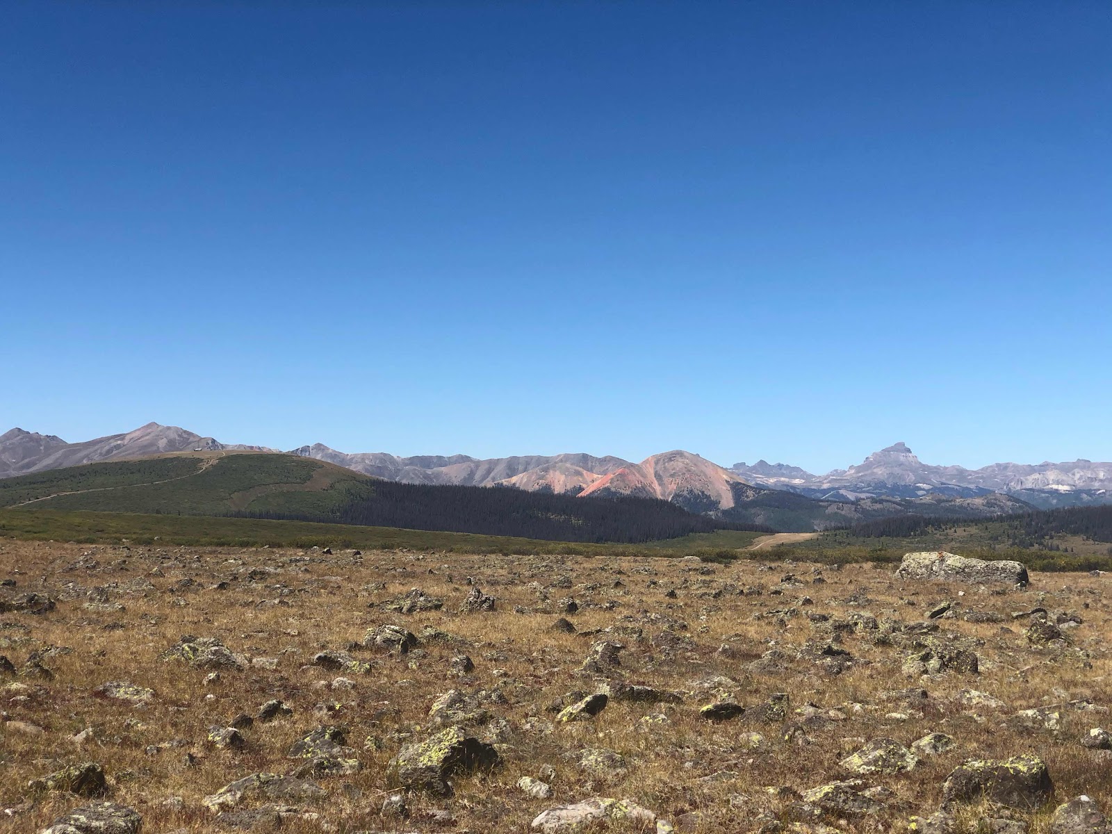
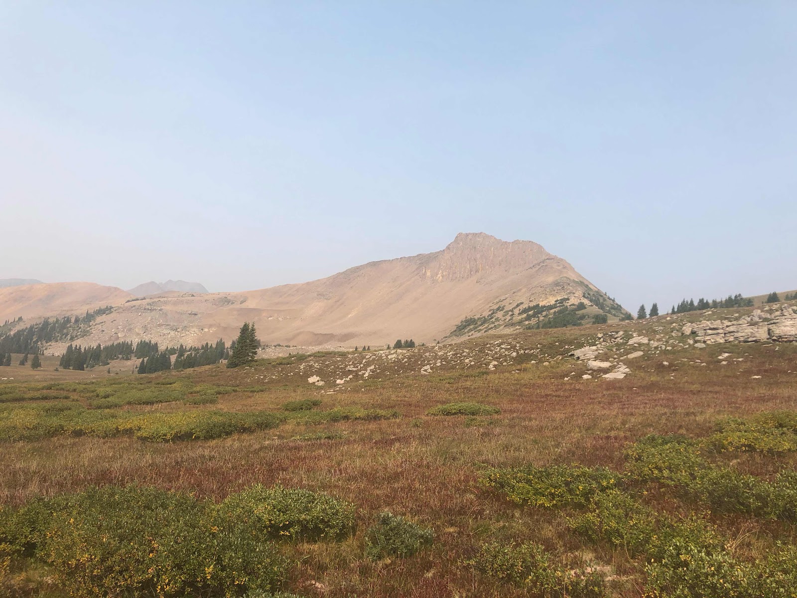
Last high elevation pass of the trail

The trail to Silverton took a hard turn to the west, taking me within a half a mile of the area I drive past on my way to work everyday. It was surreal seeing these mountains from a different perspective. I immediately recognized where I was, I only wish I would have had clearer skies. I’ll just have to go back once the snow melts and the skies clear. This area is what made me first fall in love with living and working in the southern San Juans mountains. 
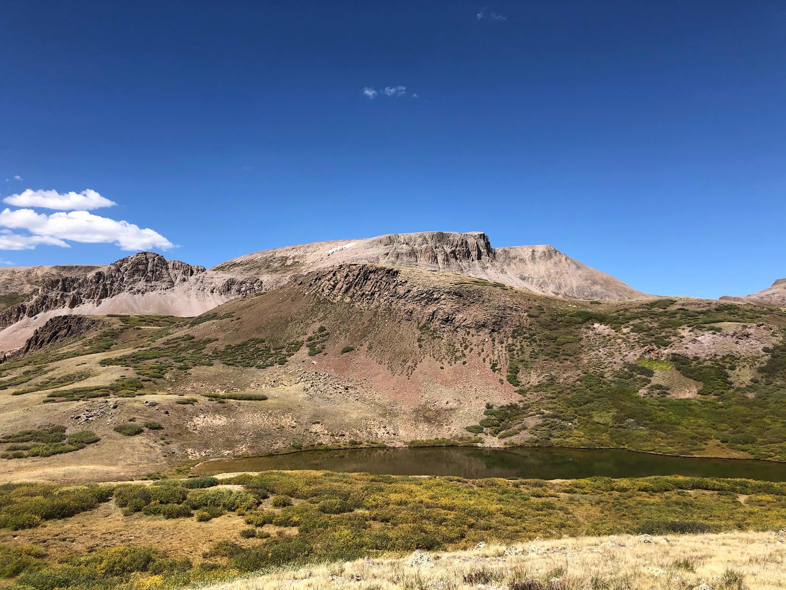
Grizzly Peak

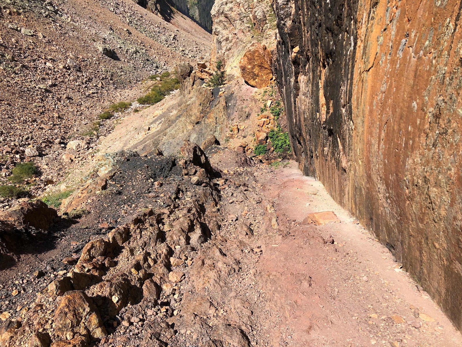
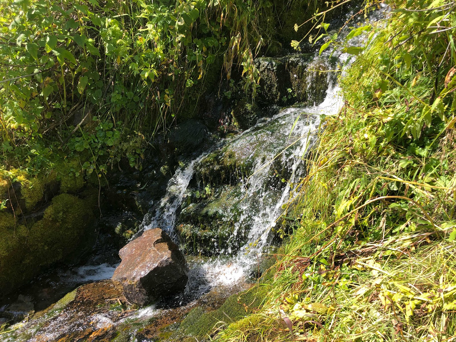
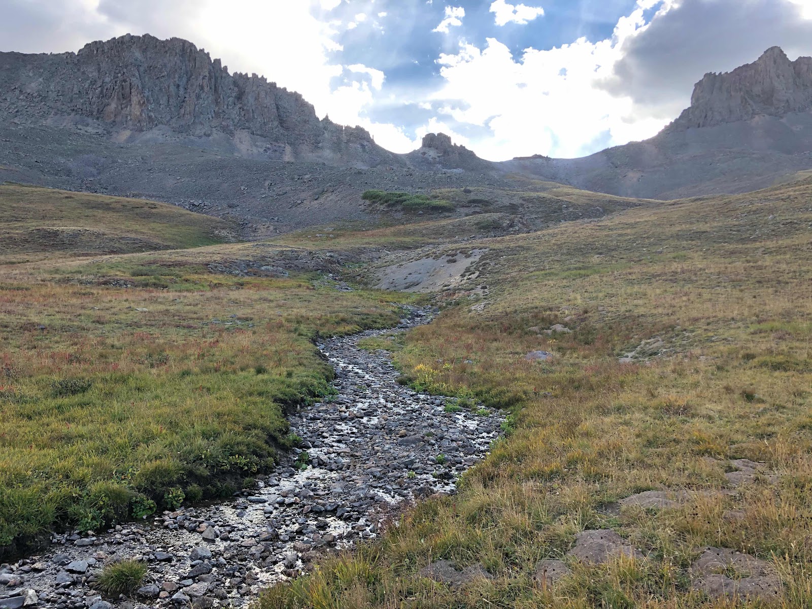
High mineral content turns water and rocks white

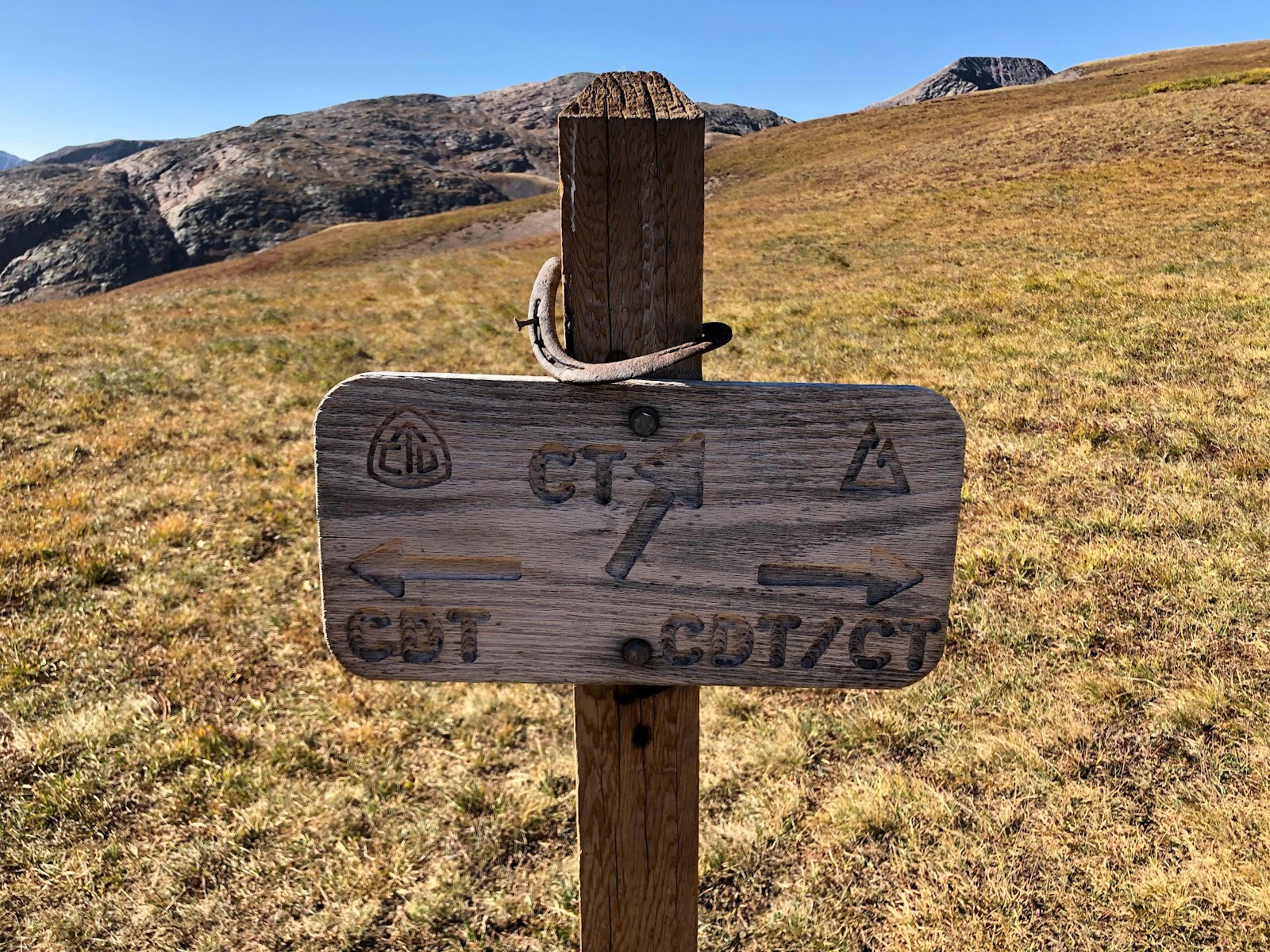
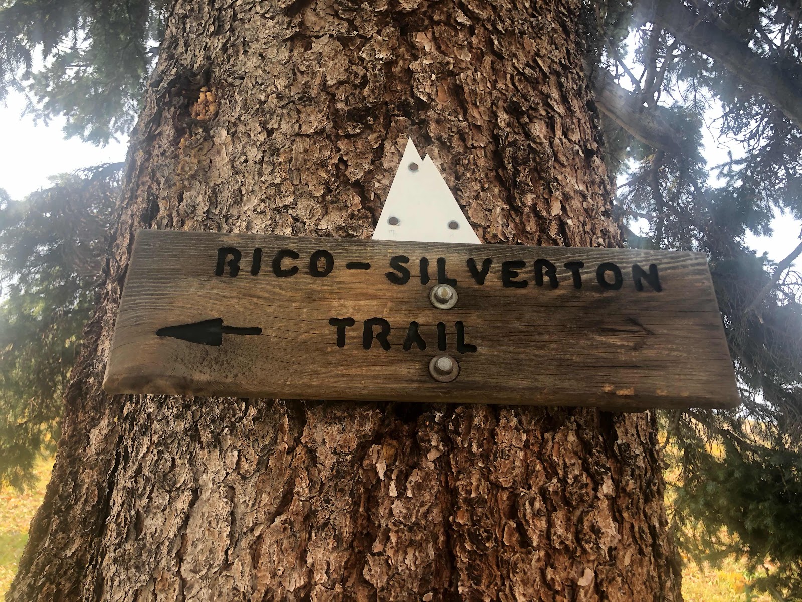
I had really hoped to make it to Bolam Pass by five o’clock. That would give me time to collect water from the lake, cook, eat, and be back on trail by six o’clock. When I first started the trail I could hike until about 8:15pm and still have time to get setup before it was fully dark. Now I need to be done by about 7:45pm. I figured I could go a little later since I wouldn’t have to cook. I just need enough light to find a flat piece of ground to setup camp on. A lot of the time I’m hiking I’m actually hiking a trail that just happens to be apart of the Colorado Trail. For instance this morning I was on a mountain bike trail called Twin Cities. I got really excited when I noticed that a the last section of the Colorado Trail overlapped with another mountain bike trail that was called the Rico-Silverton Trail. I live in the town of Rico and I had started the morning in Silverton. It felt like a good omen that was how I was finishing up this journey. 

Walking home

I arrived at Bolam Pass at four o’clock. Much better than I had hoped for. That would give me almost three hours to make as many miles as possible before dark. I used my InReach to send a message to WanderLost making sure she was still picking me up tomorrow. We originally had agreed on noon, but now it looked like I would be done by eight or nine o’clock. My battery was running extremely low so I decided to stop the tracking feature and turn it off to conserve the battery for an emergency sos call if needed. 

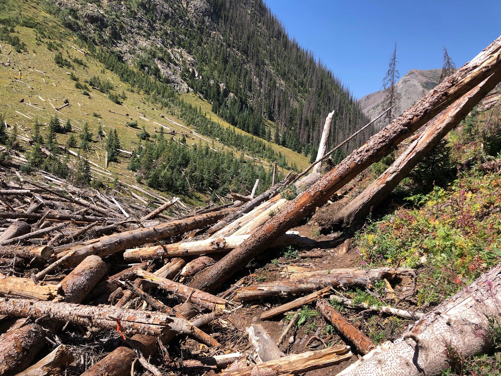
It was really windy at Bolam Pass so I put on my puffy jacket as I collected water and started preparing my dinner. The smoke had gotten worse again. I had one more major mountain to climb before I could call it a day. I really wasn’t looking forward to tackling Blackhawk Mountain. It would take me over 12,000ft again. My lungs were already on fire, the winds were really picking up, and it was starting to get cold. I thought about just calling one of my friends to come and get me, I was only 45 minutes away from Telluride. I had just decided to suck it up when two guys out hunting stopped in their pickup truck. They have been giving rides to hikers almost everyday for the last week. They wanted to know if I knew about the storm and I told them yes. They then asked me if I wanted a ride and I told them no at first. Then I made the snap decision to ask them for a ride around Blackhawk Pass. I would be skipping 4.8mi of trail, but at that point I didn’t really care. My lungs hurt, I was tired of sneezing, and concerned about the approaching storm. Before anybody calls me out on skipping trail let me add that I have hiked this portion of the trail earlier in the summer. I feel like I kept my purist roots intact. These two guys were awesome! They were by far the easiest people to talk to that I have ever gotten a hitch from before. Scott, the driver, is a banquet chef for a golf course in Arizona. Before I was furloughed due to Covid I ran the banquet and events at my hotel. His friend, Dave, was a really quiet, shy young man also from Arizona. It took almost 30 minutes to drive those 4.8mi and I enjoyed every second of the drive. With missing those miles it looked like I could actually finish the trail tonight. I ended up making it to the Scotch Creek Trailhead, my ending point, at 6:30pm. I officially thruhiked the Colorado Trail in under thirty days. 
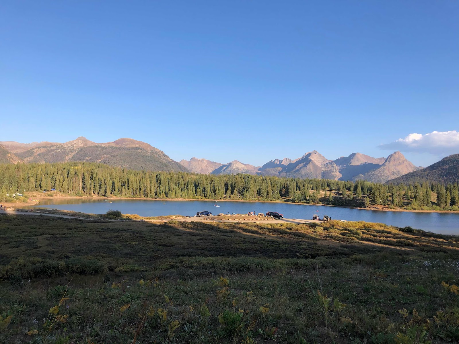
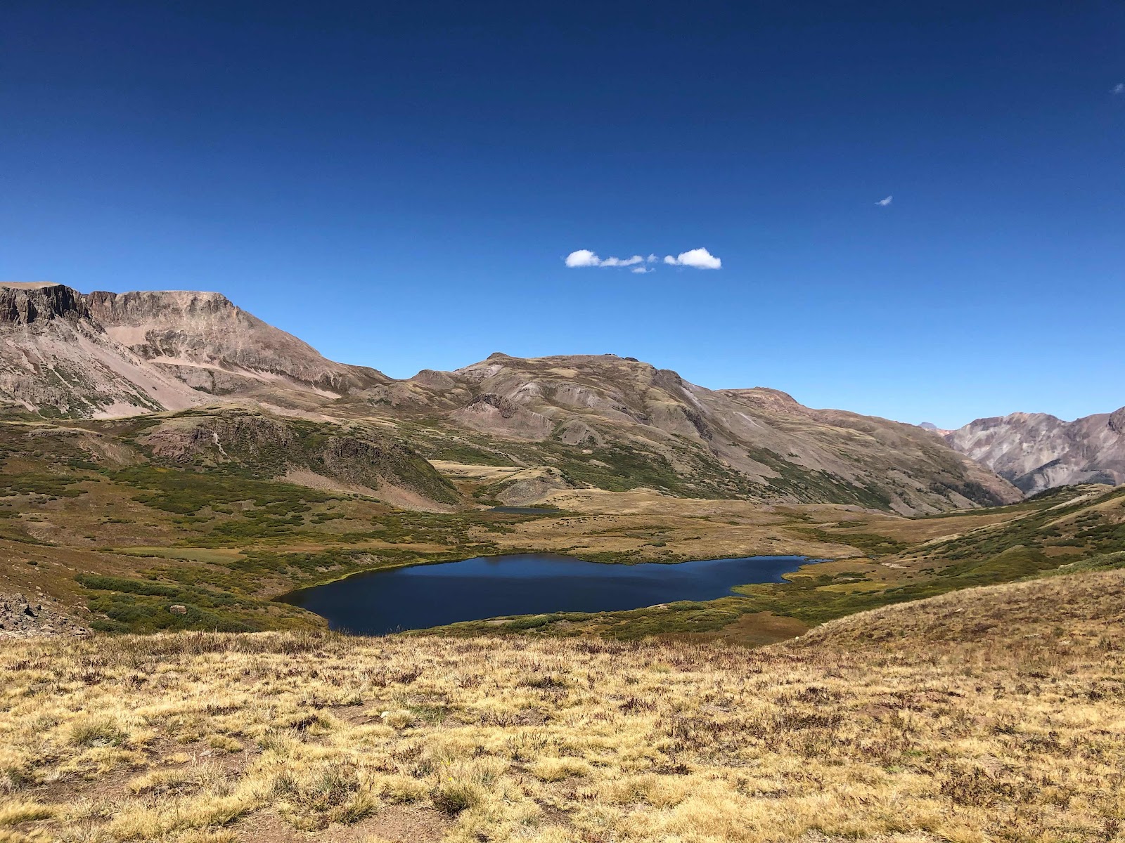
Lake at Bolam Pass

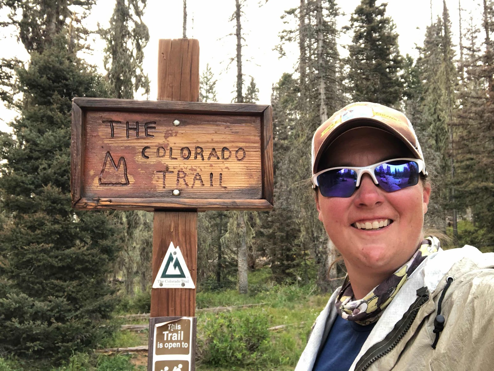
Colorado Trail Thruhike 

I setup camp and started to cook dinner, Scott and Dave picked me up at Bolam Pass before I cooked my ramen. As I was cooking two bikepackers came through. They were trying to figure out how to finish the trail before the weather turned nasty. I helped them work out an alternate route for the last forty miles that would keep them at a lower elevation, but would still allow them to finish in Durango. They decided to setup camp next to me. As I waited for my ramen to cook I used my InReach to get a message through to WanderLost so she would know I was at the trailhead. She got back to me immediately and let me know that she had left my car for me earlier in the day. This whole section the trail crisscrosses a forest service road every mile or two. Based on our character limited conversation it sounded like my car was only a mile or two away. I decided to go for it and much to the bewilderment of the bikepackers I packed up my camp. It was 7:30pm when I started hiking again. WanderLost said my car was parked right next to the trail and I couldn’t miss it. I figured I might have to hike a little bit after dark, but that wouldn’t matter. I drive a 2000 Toyota 4Runner that I have turned into a car camping beast. I removed the backseats and have a full size mattress in the back. With dreams of sleeping in my own bed tonight I set out. 

My car is somewhere on this road

Last view before dark

Every time the trail hit the road I expected to see my car, which I named Karen. After two and a half miles I began to get a little concerned. It was now fully dark and Karen was not where I expected her to be. I got just enough cell phone service to send a message to my family. I lied and told them I was making camp. There was no need for them to be worried about me hiking in the dark. I also had a message from WanderLost with a dropped pin showing where my car was. Crap! It looked like it was still four miles away. I couldn’t see well enough to pick out a flat spot to camp and I had already made my mind up that I was sleeping in Karen tonight. The good thing about hiking in the dark with a dying headlamp is that I never felt like the trail was going up or down. It always felt like I was walking on flat ground. I tripped and stumbled on some rocks and roots, but I managed to stay upright. Those miles seemed to take forever since I was walking so slowly. I’ve only night hiked once before, in the desert on the pct, and I didn’t care for it. Tonight was actually pretty peaceful and it felt like a fitting end to this trail. I’ve hiked so much of this trail before that it seemed right to be doing something new on it. I finally stumbled across Karen at 11:59pm. That one minute made all the difference in the world to me. It meant that I hiked the trail in 29 days instead of 30. I also got in my marathon and something I never expected, I got in a 30 mile day. 

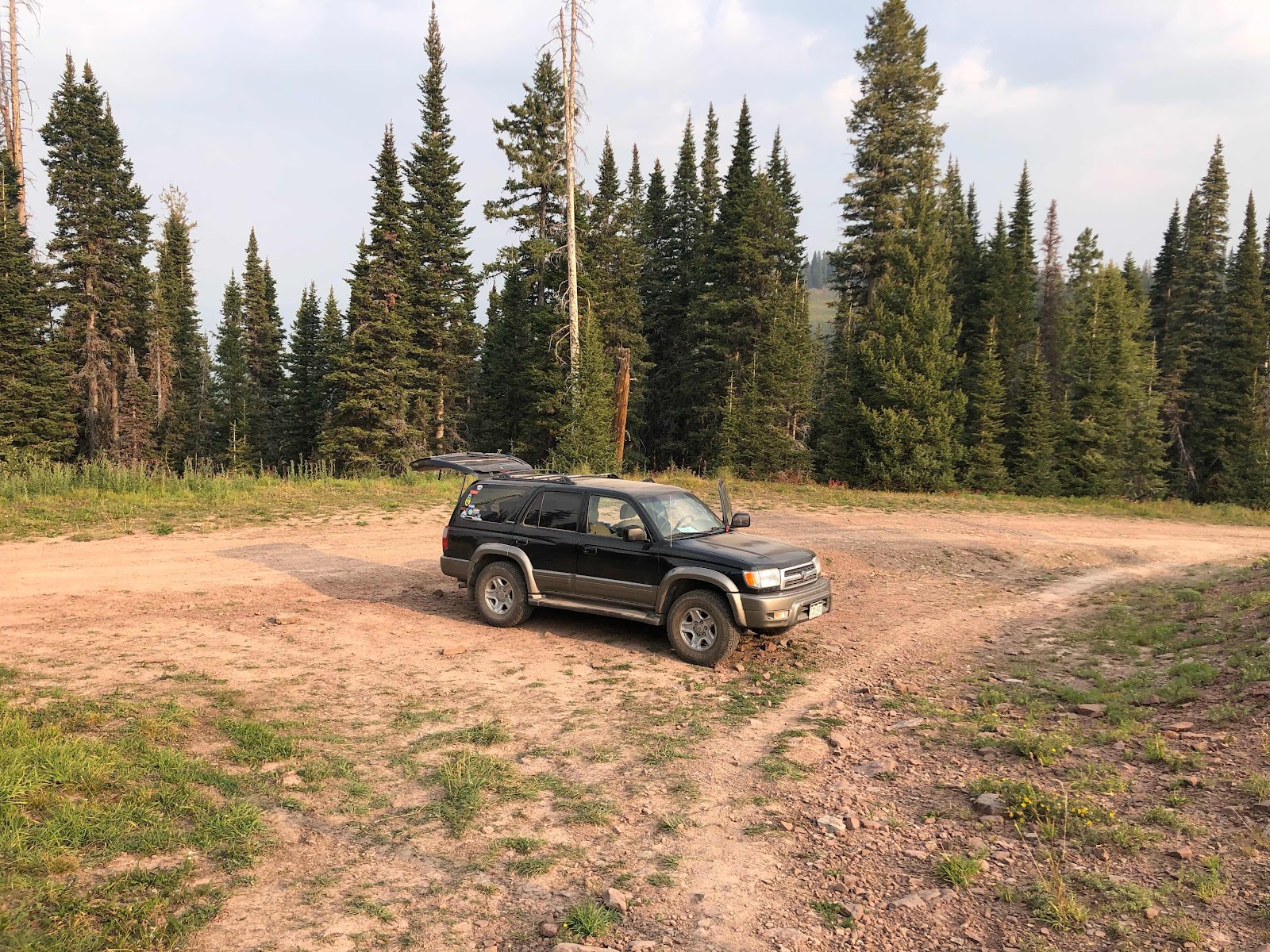
Karen, right on the trail as promised

Smoke wasn’t any better in the morning

I really thought I was going to get a great nights sleep, but that wasn’t the case. My legs and feet were on fire and I was hyper alert.  I tossed and turn all night long. I started off in my sleeping bag, but I was burning up. I keep the bed made with sheets, blankets, and a down comforter. That ended up being plenty warm enough for me. I finally fell into a fitful sleep around 2am and slept in until 7:30. WanderLost thoughtfully left me a cooler of water, soda, and hot chocolate mix to do trail magic with, but since there were no hikers on the trail I got on the road. It is only fifteen miles to the highway from where I was parked, but it is a mountainous forest road and it takes me a little while to readjust driving after hiking for so long. I think DP or WanderLost could make the drive in 35-45 min, it took me a little over an hour. Instead of going straight home I made the 35 minute drive down to Dolores for groceries. I knew I had left my pantry bare and with the storm approaching I don’t expect to leave my home for a few days. I picked up the essentials, steak, eggs, lunch meat, bread, champagne, beer, and bourbon. Then I stopped for one last trail breakfast burrito. It wasn’t close to the best I’ve ever had, but it was one of the biggest. 
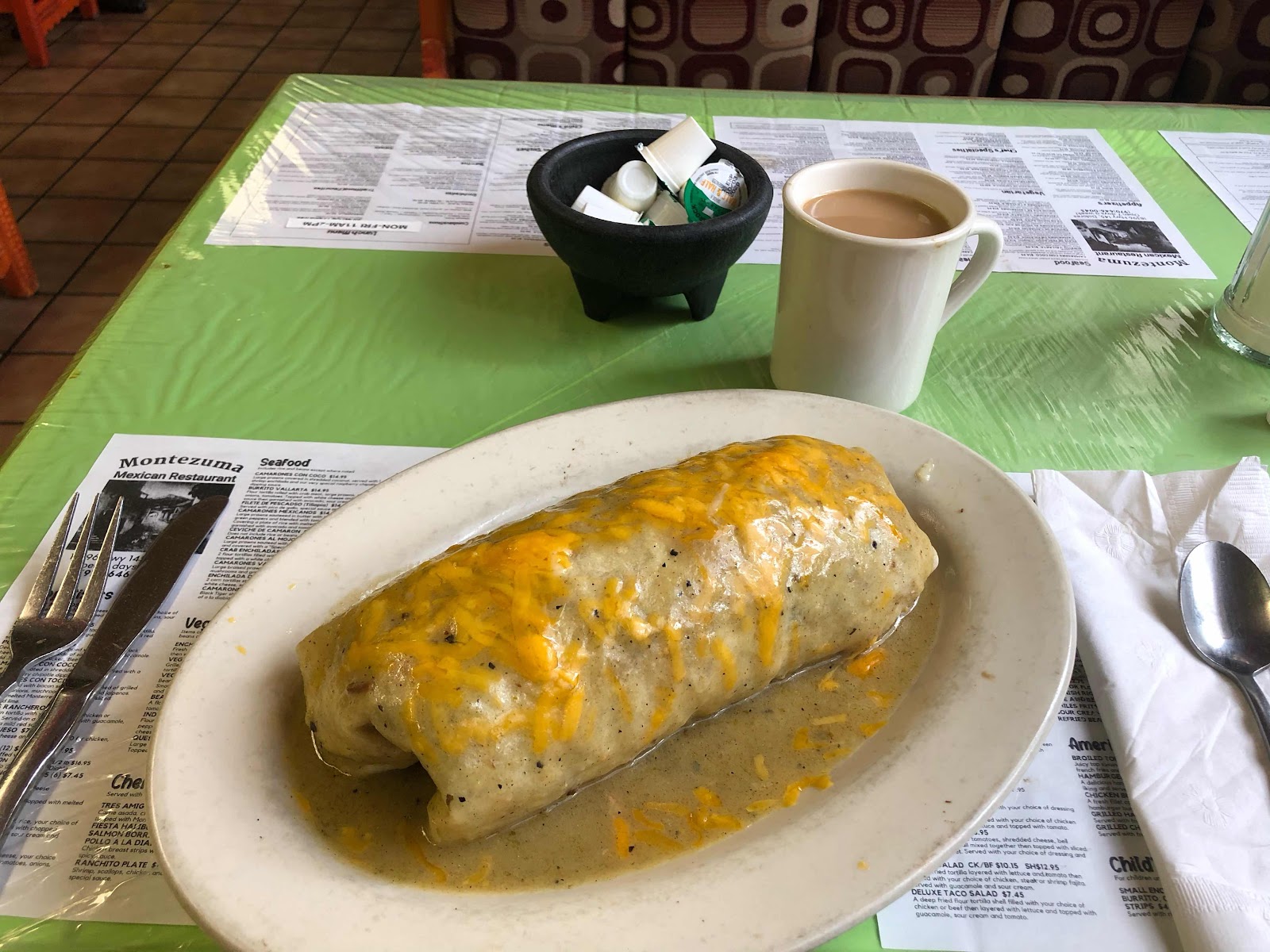
Breakfast burrito

I made it home just as it began to sleet and hail. I sat on the couch and started to call home, but then I caught a whiff of myself. Priority number one changed to taking a long hot shower. I called home to let the parents know I was safe and warm. Turns out they thought I was still on trail all morning and were really worried about the weather. My dad was constantly checking the weather and was concerned. I didn’t realize that they had no way of knowing about my change of plans and about Karen being on the top of a mountain waiting for me. Oops! I usually do a better job of easing their fears. 

Well, that’s all I’ve got for this trail. I know this was a whole lot shorter of an adventure, but I hope you enjoyed following along with me. For those of you who were wondering, Jeff “Legend” Garmire, did break the record for the overall Fastest Known Time on the Colorado Trail. 

Legend’s FKT

I will post a few gear reviews in the next few days. If you have any questions feel free to email me at 5millionstepswithyoda@gmail.com


Don't let the fear of the time it will take to accomplish something stand in the way of your doing it. The time will pass anyway; we might just as well put that passing time to the best possible use."

—Earl Nightingale


Tuesday, September 8, 2020

Day 28- Goodbye CDT, Hello Hell

Sunday September 06, 2020
Stony Pass Rd(391) to Little Molas Lake(412.1) 21.1mi
Total Miles: 460.1 
Elevation: 10,901ft


Once again it didn’t get as cold last night as I thought it would. I did have trouble sleeping though. My legs were extremely achy, but that was only half the problem. I was camped relatively close to a trailhead and a couple showed up after dark. I could hear them arguing from .3mi away. Eventually they decided to take a stroll down the trail towards me and they were arguing and cussing at each other the whole way. It was very disconcerting. They walked right past my tent and that put me on edge. Last year on the AT a man was stabbed to death and a women severely injured. I would be lying if I said that wasn’t on my mind listening to a domestic disturbance feet away. There was also a farther and adult daughter camped 100 yards from me, so that made me feel a little safer than if I had been alone. Eventually they walked back to their car and drove away and I finally fell asleep. It took me a little bit longer to get going this morning because I was tired. I really wasn’t looking forward to hiking today. I thought about walking the road into Silverton, eleven miles away and the hitching to Molas Pass. I’m so close to finishing that I didn’t want to miss the miles or a section I haven’t seen before. Now that the section has been done I can honestly say I made the wrong decision. This section was fifteen miles of pure misery. 

Sunrise

The day started off well. I hiked up a few saddles and dropped back down into a few basins. It felt like yesterday and the views were breathtaking. The comments on my hiking app, GutHook Guides mentioned a large herd of sheep in the area. I came across them after about four miles. Sheep herding dogs can be very aggressive, but the sheep were on a distant ridge so I didn’t have to worry. Just as I saw the sheep I came across what looked like a stray dog. It had on a collar, but no tags. He was very friendly, but he was so skinny he looked like a bag of bones. I had just decided he wasn’t a herding dog, but a stray. I wasn’t sure what to do. He followed me for a little while, but I couldn’t get him to climb the hill I was going up. I thought about getting him to follow me back to Stony Pass Rd and seeing if I could get a hitch to town with him. Then I thought maybe he was a herding dog after all. I finally decided to hike on. Just as I got to the top of the climb I came across another hiker going the opposite direction. She had come across some sketchy trail and decided to turn around. I told her about the dog and she confirmed that it wasn’t a stray. She saw it herding the sheep yesterday. Sure enough the longer we talked I watched him rejoin the herd and start herding the sheep. We couldn’t get over how skinny he was for a working dog. She told me a little of the sketchy trail coming up and tried to get me to turn around with her. She was also a triple crowner(so SHR was an experienced hiker) and in retrospect I should have listened. I just wanted to see a new part of trail I hadn’t done before. 

Good start to the day

All of those white dots are sheep

Goodbye CDT

Distant ridge has a feature called the window. I was obsessed with this on the cdt

Shortly after splitting away from the CDT my day went to shit. I knew I was going to drop a massive amount of elevation, but I didn’t expect it to be so steep and on crumbling rock. For miles I tiptoed down crumbling rock with a very steep drop off. For a few sections I was doing less than one mile per hour. The lower I dropped in elevation the hotter it became. It felt like ninety degrees in that canyon. 

Hours of going down terrain like this

After several hours of this I almost turned around and went back to Stony Pass. I’m still not sure why I didn’t. I guess I just don’t like to lose/quit. It took me about three hours to go three miles. Every step I could have fallen down and some of those falls could have ended badly. I managed to stay on my feet, but I had a few close calls. I finally hit solid ground and starting making good progress, for about a quarter mile. Then I hit the path of an avalanche from a few winters ago. I spent the next five miles or so alternating between avalanche debris and steep crumbling rock. 

This field was only 300 yards

About half a mile


Sheer power of nature 

View back at where I started. All that rock is scree

Lonely Colorado Columbine on my way down

I followed a creek the entire way down from 12,500ft to 8,900ft. I really thought it would be scenic, but I was just frustrated all day. After almost ten horrible miles I finally bottomed out. If it wasn’t for the avalanche damage I would have had the option of jumping on a train to take me into Silverton. Unfortunately, the train isn’t running this year because of damage to the tracks. On a normal year hikers can flag down the train and go into Silverton or Durango. After a long, hot, miserable morning and afternoon, an evening in town would have been delightful. Instead I got to the train tracks at 4:30pm and had a 2,000ft climb to take me out of the canyon. At the end of the climb I had the option of hiking .7mi off trail to get to a major lake with a campground. I thought that would make a nice end of the day. I was even willing to pay $20 for camping. I made the decision to hike the extra 1.4mi round trip. What I didn’t count on was this is Labor Day weekend. The campground was completely full. They had no room for a smelly, dirty, exhausted hiker. The rude lady at the camp store wouldn’t even sell me an ice cold beverage. I left utterly defeated. There was no camping for the next mile and a half, so I did the only thing possible, I kept going. The trail crossed a major highway, US 550 at Molas Pass, before hitting a dispersed camping area. Little Molas Lake dispersed camping area is a place I have car camped at before. I actually hiked a 10mi segment of the CT last year. From the highway to the camping area is .7mi on trail. Since I had hiked an extra 1.4mi to get to Molas Lake campground I did not feel bad about hitching the .7mi into Little Molas Lake. I realized after the fact that by hitching I missed my water source for the night. Usually I would play it cool and yogi water from a car camper. I was not in the mood to play games. I just walked right up to a large group and asked for water. They were really nice and gave me not only water, but an ice cold Coke. All of the camp spots were taken, so I’m camped on a slant next to the privy. At least I have a Coke! If any hikers out there are reading this, I highly recommend skipping segment 24 of the Colorado Trail. There are plenty of other trails from Stony Pass that you can take instead. 

At least water was ice cold and easy to collect today

Molas Lake Campground was beautiful 

Durango-Silverton Railroad

Helped make the day a little better

Camped behind the privy 


“We may stumble and fall but shall rise again; it should be enough if we did not run away from the battle."
- Mahatma Gandhi


Monday, September 7, 2020

Day 27- On Your Mark, Get Set, Go

Saturday September 05, 2020
Stealth Spot(367.4) to Stony Pass Rd(391) 23.6mi
Total Miles: 439
Elevation: 12,496ft


It wasn’t as cold last night as I feared. Maybe that was because I was in my sleeping bag by six o’clock, so I had time to warm it up. I also had time to reread my blog from the cdt for the upcoming miles. I haven’t really set myself any difficult goals on this trip. I decided to see if I could emulate the miles I did in 2018. I was on day 60 on the cdt, so I figured this would be a good challenge, seeing how I’m only on day 27. If I could make it, it would be my biggest official elevation gain day of the trip and my top three biggest mileage day. I was packed up and on trail by 6:30am. I spent the first few hours of my morning climbing up to the high point of the Colorado Trail, 13.271ft. The climb wasn’t very steep, but for some reason my legs were sluggish. I’m going to go ahead and blame the elevation. 

Sunrise over the San Juans 

Yoda at the high point 

Today was another beautiful day in the San Juan mountain range. It is hard to believe it is going to snow in a few days. Today was really hot with zero opportunities for shade. I stayed above tree line all day long. I made sure to put on sunscreen this morning once I removed my long sleeve shirt. After hiking about nine miles o finally dropped below 13,000ft and hit my first water source of the day. I decided this was a good time for my first break of the day. This was the farthest I have hiked this trail without taking a break. I knew if I wanted to hit my goal today I needed to keep moving with very few breaks. The theme of the day was to climb up to a saddle, drop down into a basin, then climb back out of the basin. I think I hit 8 different basins today. Even without taking very many breaks I still felt like I stopped to smell the roses. Mainly because I was surrounded by views all day long. 

Cool rock formations

Alpine lake

Midway down a basin

Another lake(bottom of a basin)

Climbing up to a saddle 

I saw a few day hikers and numerous mountain bikers today. I stooped and chatted with a NoBo section hiker. Soul Flower is a 73 year old women section hiking the CDT. She is my hero. She is averaging about fifteen miles per day. Just goes to show you that age is just a number. She looked pretty spry hiking up a giant climb. I wish I could have talked to her longer, but we both still had miles to make. She had to go another nine miles, and I had about seven to go. At this point in the day I was pretty sure I would hit my goal, but I was definitely getting tired. Today is the first day since I switched shoes that my feet weren’t killing me. I think they have finally adjusted, but it could just be because I didn’t have any really long descents. 

Beautiful, big, rugged mountains

My water sources today were all high elevation springs. I drank straight from the source without filtering. Ice cold water in this heat tasted mighty fine. Around five o’clock I was really ready to take a nice long break. I only had a little over three miles left. I sat downstairs to eat a snickers and drink some water. I could see four hikers in the distance. I decided to get up and finish my day. I couldn’t take the risk that they would pass me. I camped at Stony Pass Road before, so I knew there wouldn’t be camp sites for all of us. About a mile later I crossed over the head waters of the Rio Grande. I enjoy coming across head waters. It is fascinating to see how small, giant rivers start out. 

Head Waters of the Rio Grande

I hit my goal today! I made it to camp by 6:30, a full hour before I thought I would. I did this section on the cdt much faster and according to my blog it was much easier, but I was just pleased I did it at all. 

Big views all day long

People camping in an awesome spot. I never choose my campsites based on views. I always choose mileage over beauty. In fact, I never would have thought about camping there

Camped inside an old rotted cabin

Sunset 

I have three more sleeps until I finish the trail. I’ll hike about six miles tomorrow morning and then the CT and the CDT split ways. I’ll finish hiking on a section of trail I’ve never seen before. I’m pretty excited about that. 

“By taking the time to stop and appreciate who you are and what you've achieved - and perhaps learned through a few mistakes, stumbles and losses - you actually can enhance everything about you. Self-acknowledgment and appreciation are what give you the insights and awareness to move forward toward higher goals and accomplishments.”
- Jack Canfield


Day 26- An Elevation Game

Friday September 04, 2020
Spring Creek Pass(357.9) to Stealth Spot(367.4) 9.5mi
Total Miles: 415.4
Elevation: 12,063ft


We managed to stay up a little bit later than in Salida. WanderLost fell asleep first, she made it until 10:30. Kelsey through in the towel around 11 o’clock. I stayed up until 11:30, only because I had to write my blog. Once again I didn’t bother with an alarm clock. I managed to sleep in until almost 8:30. While I waited for them to shower I began to pack up. I realized that I didn’t charge my external battery pack. That thing takes hours to charge, so now I’m relying 100% on solar power for this last leg. I think it will be ok, but now I have something to worry over. We bought microwave burritos last night so we wouldn’t have the expense or time suck of going out for breakfast. We were packed up and out of the room by 9:45. I tried to charge my battery pack in Kelsey’s car, but her outlet wasn’t working. I settled for connecting it to the solar charger and leaving it in the front windshield. We stopped at a gift shop on the way out of town so they could buy koozies to keep the boyfriends happy. We were on our way to the trailhead by 10:30. After traveling almost exclusively at 2.5mph I don’t do very well in a car. Kelsey was driving and WanderLost let me ride up front. The drive up was very twisty and had sharp curves. I was a nervous wreck and just stared at my phone the entire drive up. Kelsey is a very safe driver, but I felt like I was in a NASCAR race. I ended up giving her the trail name Danica Patrick, or DP for short. 

We arrived safely at the trailhead at 11am. DP and WanderLost decided to hike with me for the first 30 minutes. I wish the trail had been better for them. We hiked on a Jeep road the entire time. At least the views weren’t too bad. Shortly after they turned around to go home the views became spectacular. I forgot just how awesome this section is. 

Me, WanderLost, and Danica Patrick(DP)

Sad to see them go

I realized that today would be a very short day on the car ride up the Pass. I was scanning GutHook to check for water sources when I noticed a slight hiccup in my daily mileage plan. After 9.5 miles the trail went up to 13,000ft and stayed there for almost ten miles. With my late start there was no way I could get in 18 miles so I could camp at a reasonable elevation. I decided to see how the day went and make a decision when I got to the start of the big climb above 13,000ft. I really need to stay on target for this section. Snow is in the forecast on Tuesday night and I really don’t want to deal with that. If I stay on target I will finish Tuesday afternoon before the snow moves in. 

View while I was hiking with DP and WanderLost 

1 mile after they had to turn around(4, 14ers in view)

I was making really good time considering the late start. No matter how I crunches the numbers I couldn’t seem to make it work for hiking the 15 miles I needed to get in today. I have been barely start warm enough at night camped below 12,000ft. The nightly low is going to keep dropping every night until the snow moves in. I don’t need to cook dinner tonight because I packed out leftover pizza, so I considered hiking until past dark. With the full moon and being above tree line that seemed like a reasonable option. My pack feels heavier today than it has the entire trail. I’m o my carrying 4.5 days worth of food, but now that my hunger has kicked in 4.5 days of food is heavier than ever. What really sealed the deal on my daily mileage was the water situation. For those of you that read my 2018 CDT blog you might remember the time I missed a water source and almost got myself into trouble. I got lucky and bummed some water off of some people on 4wheelers. Well you guessed it, that was this section. I wasn’t sure I could carry 3L of water up to 13,000ft with a fresh resupply and town legs. Once I cleared to the 13,000ft stretch I would still be camped on a saddle at 12,5000ft. It killed me and hurt my pride, but I made the decision to setup camp short of the high elevation section. I made it to camp at 4:15. At least I’m not the only hiker to come to this decision. I passed an area just after the yurt and last water source where 8 hikers had already setup camp. 

Big mountains 

I did see one guy going for it. He passed my camp at 6pm. I asked him if he knew what he was in for and he said he did. He looked like a really strong hiker. I could see him at the top of the first ridge twenty minutes later. He had climbed up over one mile and 700ft. I’m pretty sure he will be alright. Once again my pride kicked in and I thought about breaking camp and heading up. I swallowed my pride and stayed put. The next few days will be rough trying to make up my missing miles from today. Although the promise of snow Tuesday night is one heck of a motivator to keep me moving. The last stretch of any trail is always the most difficult. It is just a mental thing and I will just have to push through it. I sure do wish I had an extra few hours of daylight right about now. It looks like the next few nights I’ll have to camp above 12,000ft. I totally forgot about that on this segment. I think I did this segment in early July on the cdt. I already miss those warmer temps and long days. 

Yurt platform(Yurt not setup due to COVID) I camped there in 2018


“He who knows no hardships will know no hardihood. He who faces no calamity will need no courage. Mysterious though it is, the characteristics in human nature which we love best grow in a soil with a strong mixture of troubles.”
- Harry Emerson Fosdick